
A Speck in the Vastness: Understanding Tromelin’s Geographic Isolation
Tromelin Island, a remote and tiny coral islet, exists as a solitary entity within the immense expanse of the western Indian Ocean. Its geographical significance lies not in its size or resources, but precisely in its extreme isolation. Situated far from any continental landmass and distant from major shipping lanes, Tromelin presents a unique case study in island geography, particularly for an atoll. The very essence of its location dictates its ecological fragility, its historical narrative, and the challenges associated with its accessibility and study. Understanding Tromelin necessitates a deep appreciation for its place in the global oceanographic context, where its minuscule footprint belies its intriguing geographical characteristics. The island’s position makes it a sentinel, observing the subtle shifts in currents and weather patterns that traverse this vast marine environment. Its remoteness is its defining feature, shaping everything from its climate to its biodiversity.
The Cardinal Coordinates: Pinpointing Tromelin’s Precise Position
Tromelin Island’s geographical coordinates place it squarely in a region of the Indian Ocean largely devoid of human settlement or significant landmasses. Officially, it is located at approximately 15°57′ South latitude and 54°31′ East longitude. This position is crucial in understanding its climatic and oceanic influences. It lies roughly 500 kilometers east of Madagascar, a substantial distance that underscores its isolation from the African continent. To the north and west, the nearest landmasses are other scattered islands, including the Scattered Islands of France (such as Europa Island and Juan de Nova Island) and the Comoros archipelago, all of which are hundreds of kilometers away. To the east, the vastness of the Indian Ocean stretches uninterrupted until the coast of Australia, a distance of thousands of kilometers. This extreme remoteness means that Tromelin is exposed to the full force of oceanic weather systems and currents, experiencing a maritime climate that is both tempered and influenced by the surrounding waters. Its precise location is not just a numerical designation; it is the key to understanding its ecological niche and its historical significance as a navigational hazard and a potential refuge.
Navigational Context: Tromelin’s Place in the Indian Ocean’s Maritime History
Historically, Tromelin’s isolation also placed it in a precarious position for maritime activities. While not on a primary transoceanic route, it lay within the general vicinity of routes that connected Europe to India and Southeast Asia, particularly before the advent of more precise navigation and the Suez Canal. For sailing ships, the presence of such a low-lying island, often masked by waves or fog, represented a significant navigational hazard. Many shipwrecks in the Indian Ocean are attributed to such uncharted or poorly charted dangers. Tromelin’s history is intertwined with these maritime perils, serving as a silent testament to the unforgiving nature of the sea. Its existence would have been known to navigators, and its coordinates would have been logged, albeit with varying degrees of accuracy over time. The island’s name itself is a testament to this maritime past, named after an astronomer aboard the French ship La Dauphine who charted it. The lack of significant natural resources also meant that it was rarely a destination in itself, but rather a point of awareness for those traversing the broader Indian Ocean.
Tromelin Island, a small and uninhabited island located in the Indian Ocean, is situated approximately 450 kilometers northeast of Madagascar and 1,600 kilometers east of the African mainland. Its unique geographic position makes it an important site for biodiversity and ecological studies. For more detailed information about the geography and significance of Tromelin Island, you can refer to this related article: Tromelin Island Geography.
The Coral Canvas: Understanding Tromelin’s Atoll Morphology
Tromelin Island is a classic example of a coral atoll, a ring-shaped coral reef that encircles a lagoon. This geological formation is a direct consequence of the island’s oceanic environment and its volcanic origins, though the volcanic edifice itself is long submerged. The atoll structure is paramount to understanding Tromelin’s physical geography, influencing its elevation, its landform, and its very existence. The low-lying nature of atolls makes them particularly vulnerable to sea-level rise and storm surges, a critical factor in the island’s present and future. The intricate relationship between the coral reef, the surrounding ocean, and the central lagoon creates a unique micro-ecosystem that defines Tromelin’s character.
The Reef’s Embrace: The Surrounding Coral Structure
The defining feature of Tromelin, beyond its isolation, is its coral reef. This reef forms an almost complete ring around the island, creating a protected lagoon within. The reef is a dynamic structure, constantly built and reshaped by the growth of coral polyps and the action of the ocean. Its health is directly linked to the water quality and the stability of the surrounding marine environment. The reef acts as a natural barrier, dissipating the energy of incoming waves and protecting the island’s interior from direct oceanic assault. This protective function, however, is not absolute. During periods of extreme storms, the reef can be overtopped, leading to significant inundation of the island. The biodiversity of the reef itself is a crucial component of Tromelin’s ecological importance, supporting a vast array of marine life, including fish, invertebrates, and marine mammals. The fringing nature of the reef means that the island’s landmass is essentially the emergent part of this vast underwater structure.
The Central Calm: The Lagoon’s Characteristics
Encapsulated by the coral reef is Tromelin’s lagoon. This body of water is typically shallower than the surrounding ocean and is characterized by calmer conditions, especially in contrast to the open sea. The lagoon acts as a nursery ground for many marine species, providing a protected environment for juvenile fish and invertebrates. Its water temperature and salinity are influenced by a combination of oceanic exchange through channels in the reef and freshwater input, though the latter is minimal on such a small, low-lying island. The lagoon floor is often composed of sand, coral rubble, and sediment that has accumulated over time. The ecological dynamics within the lagoon are intimately tied to the health of the outer reef and the influx of nutrients and organisms from the ocean. The lagoon’s presence also contributes to the distinctive visual character of Tromelin, a splash of tranquil blue set against the vibrant hues of the coral and the vastness of the ocean.
Landforms and Elevation: The Atoll’s Surface
Tromelin Island itself is the emergent portion of the coral atoll. It is a very low-lying landmass, typically only a few meters above sea level. The island’s topography is simple, consisting primarily of sandy beaches, a small plateau formed by accumulated coral debris and sand, and sparse vegetation. There are no significant hills or prominent geological features. The highest points are often found in the center of the island, where sand and debris have been deposited by wind and wave action. The coastline is characterized by sandy beaches that gradually slope into the sea, punctuated by areas of exposed coral rubble. The absence of significant elevation makes Tromelin highly susceptible to erosion and inundation, particularly during high tides and storm events. The landforms are ephemeral, constantly being shaped by the relentless forces of nature, with sand dunes and beach ridges being common features.
Climate and Weather Patterns: The Equatorial Influence
Tromelin Island’s climate is dictated by its tropical oceanic location, characterized by warm temperatures, high humidity, and distinct wet and dry seasons influenced by monsoon patterns. Its remoteness means it is largely insulated from continental climatic influences, experiencing a purely maritime climate. The surrounding ocean plays a crucial role in moderating temperatures, preventing extreme heat or cold, but also making the island a recipient of weather systems that develop over the vast expanse of the Indian Ocean. Understanding these patterns is essential for comprehending the island’s environmental dynamics and its suitability for life.
Tropical Temperatures and Humidity: A Year-Round Warmth
As a tropical island, Tromelin experiences consistently warm temperatures throughout the year. Average daily temperatures typically range between 24°C and 30°C, with very little seasonal variation. The difference between the warmest and coolest months is usually only a few degrees Celsius. This consistent warmth is a direct result of its location near the equator, where solar radiation is intense. Humidity levels are also consistently high, often exceeding 70% and frequently reaching 80% or more, particularly during the wetter periods. This combination of heat and humidity creates a tropical climate that is characteristic of many island nations in this region. The ocean acts as a massive thermal regulator, absorbing heat during the day and releasing it at night, thus preventing the drastic diurnal temperature swings that might be experienced on landmasses.
Rainfall and Seasonality: The Monsoonal Cycle
Tromelin experiences a distinct wet season and a dry season, dictated by the prevailing monsoonal winds. The wet season generally occurs between November and April, during which time the island receives the majority of its annual rainfall. This period is often associated with increased cloud cover and more frequent, though not necessarily continuous, rainfall. The dry season runs from May to October, characterized by lower rainfall and clearer skies. However, even during the dry season, occasional showers can occur. The proximity to the equator means that Tromelin is within the zone where the Intertropical Convergence Zone (ITCZ) can influence weather patterns. When the ITCZ shifts southward, it can bring increased rainfall to the region. Conversely, during the drier months, the southeast trade winds are often more dominant.
Storm Activity: Tropical Cyclones and Their Impact
A significant climatic factor for Tromelin is its vulnerability to tropical cyclones. Located in the southwestern Indian Ocean, the island can be directly affected by these powerful weather systems during the cyclone season, which typically runs from November to April. Tropical cyclones form over warm ocean waters and can bring devastating winds, torrential rain, and storm surges. Due to its low elevation, Tromelin is particularly susceptible to the impacts of storm surges, which can inundate the entire island. The frequency and intensity of these cyclones vary from year to year, and their paths are influenced by large-scale atmospheric conditions. The island’s history is likely marked by the destructive passage of these storms, shaping its landscape and impacting any life that may have been present.
Biodiversity and Ecology: A Fragile Island Ecosystem
Despite its small size and extreme isolation, Tromelin Island supports a surprising array of biodiversity, primarily concentrated in its surrounding marine environment and on the island itself as nesting grounds for seabirds and turtles. The fragile nature of this ecosystem is directly linked to its geographical characteristics – its low elevation, limited freshwater, and exposure to oceanic forces. Conservation efforts are crucial to protecting this unique biological heritage, which faces threats from climate change and human-induced disturbances.
Marine Life: The Ocean’s Abundant Offerings
The waters surrounding Tromelin are teeming with marine life, a testament to the health of the coral reef ecosystem. The reef itself provides habitat for a vast diversity of fish species, from small reef dwellers to larger pelagic fish that patrol the outer slopes. Numerous species of invertebrates, including corals, mollusks, crustaceans, and echinoderms, contribute to the complexity of the reef’s food web. The surrounding ocean currents also bring nutrients and plankton, supporting a rich array of life. Marine mammals, such as dolphins and whales, are also known to frequent the waters around Tromelin, migrating through these oceanic highways. The abundance and diversity of marine life are a primary indicator of the ecological health of the region, and Tromelin’s surrounding waters are a vital part of this vibrant oceanic tapestry.
Avian Visitors: Seabirds and Their Nesting Habits
Tromelin Island serves as a crucial breeding ground and resting place for a variety of seabird species. The remote nature of the island provides a sanctuary, largely free from terrestrial predators, allowing these birds to nest and raise their young. Species commonly found on Tromelin include various types of terns, boobies, and petrels. The island’s sandy shores and sparse vegetation offer suitable nesting sites. The birds rely on the surrounding marine environment for their food, diving for fish and squid. The presence of these avian populations is a significant ecological feature, contributing to the island’s biogeochemical cycles through their guano deposits, which can fertilize the limited terrestrial vegetation. The health of these seabird colonies is a strong indicator of the overall health of the island’s ecosystem, including the surrounding marine environment.
Reptilian Residents: Turtles and Their Ancient Rites
Tromelin Island is also a vital nesting site for sea turtles, particularly green turtles and hawksbill turtles. These ancient mariners are drawn to the island’s relatively undisturbed beaches to lay their eggs. The sandy shores provide the necessary substrate for nesting, and the surrounding waters offer foraging grounds. The nesting season typically occurs during the warmer months. The survival of these turtle populations is highly dependent on the protection of their nesting beaches and the health of the marine environment where they feed. The low-lying nature of Tromelin’s beaches, however, makes them vulnerable to erosion and inundation, posing a threat to nesting success. Efforts to monitor and protect these nesting sites are crucial for the long-term survival of these endangered species.
Tromelin Island, a small and uninhabited territory located in the Indian Ocean, is known for its unique geographical features and rich biodiversity. This remote island is situated approximately 540 kilometers northeast of Madagascar and is part of the French Southern and Antarctic Lands. For those interested in exploring more about the geographical aspects of such islands, you can read a related article on this topic at My Geo Quest, which delves into various geographical locations and their significance.
Human History and Administration: A Scarce Footprint
| Metric | Details |
|---|---|
| Location | Indian Ocean, northeast of Madagascar |
| Coordinates | 15°52′S 54°31′E |
| Area | 1.84 square kilometers |
| Island Type | Coral island on a coral reef |
| Distance from Madagascar | Approximately 535 km (332 miles) east |
| Distance from Réunion Island | Approximately 450 km (280 miles) northeast |
| Elevation | Maximum 7 meters above sea level |
| Climate | Tropical maritime climate |
Tromelin Island’s remote location and lack of significant natural resources have resulted in a minimal human footprint throughout history. Its primary role has been as a navigational marker, a site of occasional shipwrecks, and more recently, a locus of scientific research and administrative interest due to its strategic location. Despite its limited human presence, the island has witnessed brief but impactful moments of habitation and has been subject to the administrative claims of various nations.
Early Encounters and Shipwrecks: Tales of the Sea
The earliest human encounters with Tromelin were likely by Polynesian or Arab seafarers, followed by European explorers. However, due to its low profile and lack of distinct features, it was often a hazard rather than a destination. Numerous shipwrecks have occurred in the vicinity of Tromelin, with survivors often facing arduous conditions before rescue or succumbing to the elements. The most famous incident involves the shipwreck of the French slave ship La Dauphine in 1761. The surviving female slaves were marooned on the island for 15 years, enduring extreme hardship before being rescued. This harrowing experience is a significant chapter in the island’s human history, highlighting the brutal realities of the slave trade and the resilience of those who survived such isolation. The island’s name itself, Tromelin, is derived from the astronomer on La Dauphine, further cementing its connection to maritime history.
Sovereignty and Administration: A Contested Claim
Tromelin Island is currently administered by France. It is part of the French Southern and Antarctic Lands (TAAF), a vast territory that includes several other remote islands in the southern Indian Ocean and a claim to Antarctica. However, Mauritius has also historically claimed sovereignty over Tromelin, citing its proximity to the island. This territorial dispute has been a point of contention between the two nations. Despite these claims, the island remains uninhabited by a permanent population. The administrative presence is primarily in the form of occasional scientific expeditions, meteorological stations, and by French naval patrols that monitor its territorial waters. The lack of any indigenous population or significant economic activity has kept the administrative focus more on scientific interest and strategic positioning rather than resource exploitation.
Scientific Expeditions and Research: Unveiling the Island’s Secrets
In recent decades, Tromelin Island has become a site for various scientific expeditions. Its unique geographical position and relatively undisturbed ecosystem make it an ideal location for studying marine biology, ornithology, meteorology, and climate change impacts. Researchers have conducted surveys of the island’s flora and fauna, assessed the health of its coral reefs, and monitored weather patterns. These expeditions aim to gather data that contributes to a broader understanding of the Indian Ocean’s ecosystem and the effects of global environmental changes. The logistical challenges of reaching such a remote location mean that scientific visits are often carefully planned and executed, requiring specialized equipment and considerable logistical support. The scientific value of Tromelin lies precisely in its isolation, allowing for observations of natural processes with minimal human interference.
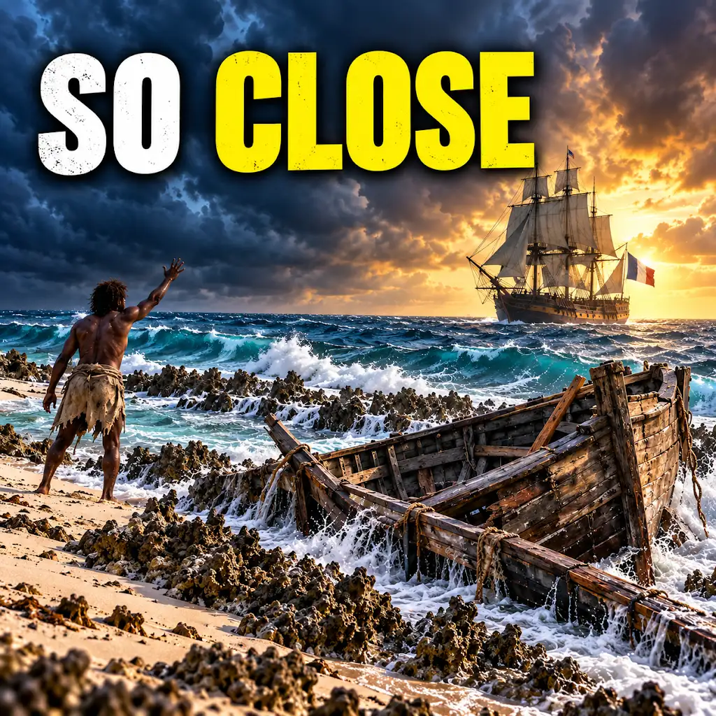
They Survived 15 Years on an Island Almost No One Could Reach
FAQs
Where is Tromelin Island located?
Tromelin Island is located in the Indian Ocean, approximately 430 kilometers east of Madagascar.
What is the size of Tromelin Island?
Tromelin Island covers an area of about 1 square kilometer, making it a very small island.
What is the geography of Tromelin Island like?
Tromelin Island is a low, flat, sandy island with a maximum elevation of only 7 meters above sea level. It is surrounded by coral reefs.
Is Tromelin Island inhabited?
No, Tromelin Island is uninhabited. It is a nature reserve and serves as a nesting site for seabirds.
What is the closest landmass to Tromelin Island?
The closest landmass to Tromelin Island is Madagascar, located approximately 430 kilometers to the west.