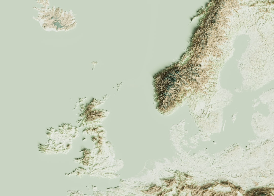
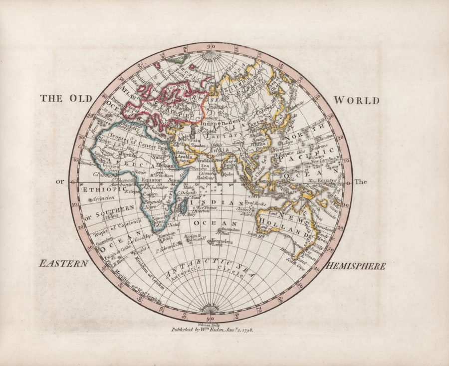
The vast expanse of our planet’s oceans, a shimmering tapestry dotted with islands and continents, holds a hidden geography of contention. Beyond the familiar coastlines, where waves embrace the land, lies a realm of international law and strategic interest: the territorial sea. For decades, this maritime buffer, a band of water extending up to 12 nautical miles from a nation’s shore, has been a locus of shifting claims, escalating tensions, and quiet diplomacy. The disputes over these waters are not merely abstract legal debates; they are about the very boundaries of sovereignty, access to vital resources, and the delicate balance of international power. As shorelines appear to recede in the face of rising sea levels and geopolitical currents, so too do the certainties surrounding territorial sea claims, creating a landscape of maritime uncertainty.
The concept of a nation’s dominion extending beyond its terrestrial borders into the sea is not a modern invention. Historically, coastal powers asserted varying degrees of control over adjacent waters, often based on pragmatic needs for defense and resource exploitation. However, it was the increasing understanding of naval warfare and the economic potential of marine resources in the 17th and 18th centuries that spurred more formal assertions of maritime jurisdiction.
Origins of the Three-Mile Limit
The most influential early articulation of a nation’s maritime jurisdiction came from the Dutch jurist Cornelius van Bynkershoek. In his 1702 treatise, “De Dominio Maris,” he proposed the so-called “cannon-shot rule.” This principle suggested that a state’s territorial sovereignty extended as far as the range of a cannon fired from its shore. This pragmatic, albeit somewhat arbitrary, standard generally translated to approximately three nautical miles, a distance a cannonball could reasonably travel and be effectively controlled.
Evolution to Twelve Nautical Miles
The three-mile limit persisted for centuries, becoming a customary norm in international law. However, the mid-20th century witnessed a growing recognition of the need for a broader territorial sea. Several factors contributed to this shift. The discovery and exploitation of offshore oil and gas reserves, the expansion of fishing fleets seeking richer catches, and the evolving nature of naval power all placed pressure on the traditional limit. Nations felt increasingly vulnerable and economically disadvantaged by a narrow three-mile band. This led to a gradual, and sometimes contentious, expansion of claims. The United Nations Convention on the Law of the Sea (UNCLOS), a landmark international treaty signed in 1982, eventually codified the 12-nautical mile limit as the standard breadth of the territorial sea for most states, establishing a more enduring framework for maritime boundaries.
Territorial sea disputes have become increasingly relevant as global warming leads to receding shores, impacting the claims of coastal nations. An insightful article that delves into this pressing issue can be found at My Geo Quest, where it explores the implications of changing coastlines on international maritime boundaries and the legal challenges that arise from shifting territories. This resource provides a comprehensive overview of how nations are navigating these complex disputes in light of environmental changes.
The Shifting Sands of Resource Claims
The primary driver behind many territorial sea disputes lies in the abundant and diverse resources contained within these waters and the seabed beneath them. From fish stocks that feed millions to the hydrocarbons that fuel economies, these maritime zones are incredibly valuable.
Fishing Rights and Overexploitation
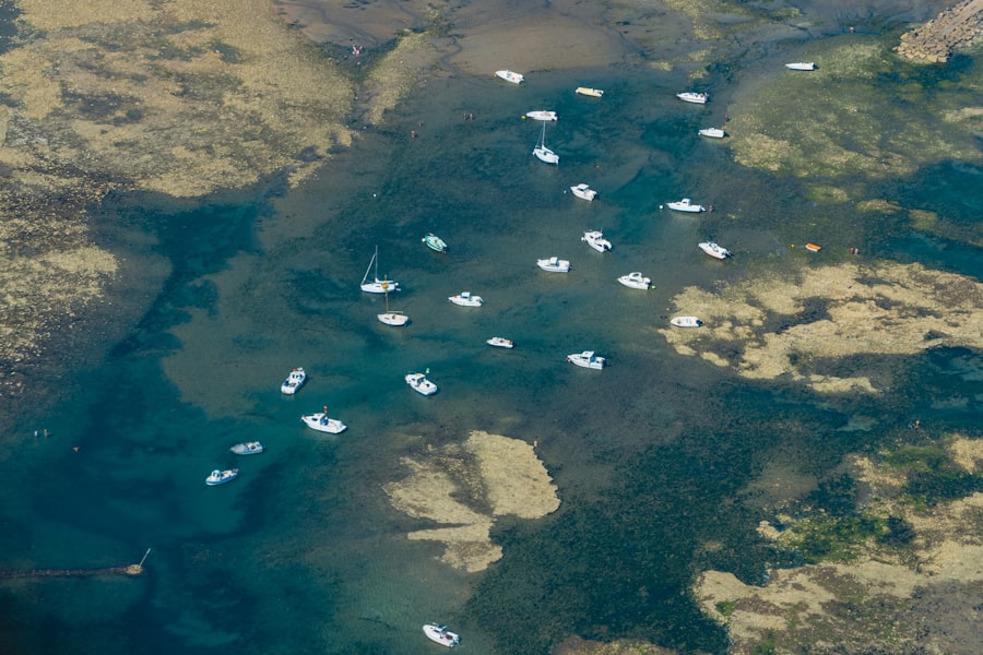
For coastal communities, fishing has historically been a cornerstone of their economy and culture. The delineation of territorial seas directly impacts who has access to lucrative fishing grounds. Disputes often arise when neighboring states have overlapping claims to areas with rich fish populations, leading to “fishing wars” and intense diplomatic pressure. The decline of many global fish stocks due to overfishing has only intensified these conflicts, as nations scramble to secure their share of dwindling resources. The territorial sea becomes a vital pantry, and the lines drawn on maps determine who gets to dip their ladle in.
Hydrocarbon Exploration and Exploitation
The discovery of vast oil and gas reserves beneath the seabed in many coastal areas has added another layer of complexity to territorial sea disputes. Nations invest heavily in exploration and extraction, and clearly defined maritime borders are essential for preventing costly and dangerous conflicts over these valuable resources. Boundary disagreements can halt exploration, trigger military posturing, and lead to protracted international arbitration. The presence of hydrocarbons under the sea’s floor can turn a quiet stretch of water into a strategic chessboard.
Seabed Minerals and Emerging Technologies
Beyond oil and gas, the seabed holds potential for other valuable mineral resources, including polymetallic nodules, cobalt-rich crusts, and massive sulfides. As technology advances and the economic feasibility of extracting these deep-sea minerals becomes more apparent, territorial sea claims may become even more critical. The untapped riches of the ocean floor may soon join the list of contentious underwater territories.
The Strategic Implications of Maritime Control
Beyond resource extraction, control over territorial waters carries significant strategic weight. These bands of sea are not just economic zones; they are extensions of national security.
Naval Movement and Access
The territorial sea is considered sovereign territory, meaning a nation has the right to control the passage of foreign vessels through these waters. While UNCLOS grants innocent passage rights to foreign ships, this passage can be suspended or regulated under certain circumstances. This allows coastal states to monitor and control naval activity in their immediate vicinity, an important aspect of national defense. Disruptions to naval movements can have far-reaching consequences for global security.
Freedom of Navigation vs. National Security
The tension between freedom of navigation and a nation’s security interests is a recurring theme in territorial sea disputes. States with strategically important sea lanes running through or adjacent to their territorial waters may seek to exert greater control to ensure their security and to potentially leverage this control for diplomatic or economic gain. This can lead to friction with major maritime powers that emphasize unimpeded global trade and naval mobility. The balance between keeping the seas open and ensuring one’s own safety is a delicate and often contested equilibrium.
Military Basing and Projection of Power
Control over territorial seas can also be crucial for establishing and maintaining military bases and projecting power. Certain maritime features, like strategically located islands or archipelagos, can become focal points of territorial disputes precisely because of their military implications. The ability to deploy naval forces, establish surveillance networks, and control access to key waterways is inherently tied to the assertion and defense of territorial sea claims.
The Role of International Law and Dispute Resolution
Navigating the complex landscape of territorial sea disputes relies heavily on the framework of international law. While UNCLOS provides a foundational legal structure, its interpretation and application in specific cases can be a source of ongoing debate.
The United Nations Convention on the Law of the Sea (UNCLOS)
UNCLOS, often called the “constitution for the oceans,” is the most comprehensive treaty governing maritime matters. It defines the various maritime zones, including the territorial sea, contiguous zone, exclusive economic zone (EEZ), and the continental shelf, and outlines the rights and responsibilities of states within these areas. While widely ratified, some nations have not formally adopted UNCLOS, leading to differing interpretations of its provisions.
Arbitration and Adjudication Mechanisms
When direct diplomatic negotiations fail, international arbitration and adjudication play a crucial role in resolving territorial sea disputes. Bodies like the International Court of Justice (ICJ) and ad hoc arbitral tribunals can hear cases and issue binding decisions on maritime boundary delimitation. These processes, while often lengthy and complex, offer a mechanism for settling disputes peacefully and based on legal principles. The courtroom, in these instances, becomes a calmer, yet no less impactful, battleground than the open sea.
The Principle of Pacta Sunt Servanda and Customary International Law
The principle of pacta sunt servanda – that agreements must be kept – underscores the importance of adhering to the provisions of UNCLOS and other international agreements. Furthermore, customary international law, developed through consistent state practice accepted as law, also plays a significant role in shaping maritime claims and resolving disputes where treaty law may be silent or ambiguous. These legal underpinnings act as the bedrock upon which maritime claims are built, or challenged.
Territorial sea disputes have become increasingly complex, especially as receding shores alter the dynamics of maritime boundaries. A related article that delves into the implications of these changes can be found on MyGeoQuest, where it explores how shifting coastlines impact international relations and resource claims. For a deeper understanding of this pressing issue, you can read more about it in this insightful piece on MyGeoQuest.
Emerging Challenges and Future Trends
| Country | Disputed Area | Type of Dispute | Impact of Shoreline Recession | Current Status |
|---|---|---|---|---|
| Bangladesh | Bay of Bengal | Maritime boundary delimitation | Shoreline erosion affecting baseline points | Ongoing negotiations and ICJ rulings |
| United States | Alaska Coast | Territorial sea boundary with Canada | Glacial retreat altering coastline | Stable but monitoring changes |
| Indonesia | Natuna Islands | Exclusive Economic Zone (EEZ) claims | Coastal erosion impacting maritime claims | Disputes with neighboring countries ongoing |
| Egypt | Red Sea Coast | Territorial sea limits | Sea level rise causing shoreline retreat | Adjusting baselines accordingly |
| Philippines | West Philippine Sea | Maritime sovereignty and EEZ | Coral reef degradation and shoreline changes | Active diplomatic and legal efforts |
The landscape of territorial sea disputes is not static. New challenges and evolving geopolitical realities continue to shape the nature of these conflicts.
The Impact of Climate Change and Rising Sea Levels
A paradoxical aspect of territorial sea disputes is the role of climate change. As global temperatures rise, polar ice melts, and sea levels ascend, coastlines are literally changing. This can lead to the submergence of formerly dry land, altering the baselines from which territorial seas are measured. In low-lying island nations, rising seas threaten not only their land but the very foundation of their maritime claims. This environmental shift introduces a dynamic instability to established maritime boundaries.
The Rise of New Maritime Powers and Geopolitical Competition
The emergence of new economic and military powers, particularly in Asia, has significantly altered the geopolitical balance in key maritime regions. The South China Sea, with its overlapping claims and rich resources, serves as a prominent example of how rising powers can challenge existing norms and assert more expansive territorial claims, leading to increased naval tensions and diplomatic friction. The ocean’s currents are not just water; they are also proxies for global power plays.
The Militarization of Maritime Claims
In some regions, territorial sea disputes have unfortunately seen an increase in militarization. The establishment of artificial islands for military purposes, the deployment of naval assets, and the assertive enforcement of claims can escalate tensions and raise the specter of conflict. This trend underscores the urgent need for continued diplomatic engagement and adherence to international legal frameworks to de-escalate potential flashpoints and prevent the sea from becoming a theater of war. The lines drawn on maps are increasingly being reinforced by the barrels of cannons, albeit in a more modern, technologically advanced fashion.
FAQs
What are territorial sea disputes?
Territorial sea disputes occur when two or more countries claim overlapping areas of the sea adjacent to their coastlines, often involving disagreements over sovereignty, resource rights, and maritime boundaries.
How does shoreline recession affect territorial sea claims?
Shoreline recession, caused by factors like erosion or sea-level rise, can alter the baseline from which territorial seas are measured, potentially changing the extent of a country’s maritime claims and leading to disputes with neighboring states.
What international laws govern territorial sea boundaries?
The United Nations Convention on the Law of the Sea (UNCLOS) provides the primary legal framework for establishing territorial sea boundaries, including rules on baselines, territorial seas, and dispute resolution mechanisms.
Why are territorial sea disputes significant?
These disputes are significant because they can impact national sovereignty, access to natural resources such as fisheries and hydrocarbons, security concerns, and regional stability.
What methods are used to resolve territorial sea disputes on receding shores?
Disputes are typically resolved through diplomatic negotiations, international arbitration or adjudication, joint development agreements, and adherence to international legal frameworks like UNCLOS.