Sentinel-1 Radar: Advancing Earth Observation of Rivers and Watersheds
The ever-increasing demand for water resources, coupled with the growing impacts of climate change, necessitates a robust and comprehensive understanding of the Earth’s hydrological systems. Rivers and their associated watersheds are the lifeblood of human civilization, supporting agriculture, industry, ecosystems, and providing drinking water to billions. Monitoring these dynamic environments with unprecedented detail and frequency is crucial for effective water management, disaster preparedness, and environmental stewardship. For decades, Earth observation has played a pivotal role in this endeavor, but the advent of the European Space Agency’s (ESA) Sentinel-1 mission has revolutionized our ability to observe and understand rivers and watersheds from space.
Sentinel-1, a constellation of two identical radar imaging satellites, Copernicus’s flagship Earth observation mission, operates using Synthetic Aperture Radar (SAR). Unlike optical sensors that rely on sunlight, SAR can penetrate clouds and darkness, providing consistent and reliable data regardless of weather conditions or time of day. This all-weather, all-time capability is a game-changer for monitoring hydrological processes, which are often obscured by cloud cover, particularly in tropical and mountainous regions. Sentinel-1’s C-band radar transmits microwave pulses towards the Earth’s surface and records the backscattered signal. The intensity and characteristics of this backscatter are influenced by the physical properties of the terrain, including water bodies, vegetation, soil moisture, and even ice. This sensitivity allows Sentinel-1 to map water extent, monitor changes in water levels, and assess various hydrological parameters with remarkable precision.
The Sentinel-1 mission, comprising Sentinel-1A launched in 2014 and Sentinel-1B in 2016 (though operations were unfortunately suspended in December 2021 due to a technical issue, with Sentinel-1C planned for launch in the coming years), offers a unique combination of wide-area coverage, high spatial resolution, and frequent revisit times. Its systematic data acquisition strategy ensures that most of the Earth’s landmass is imaged every six to twelve days, a frequency that is unprecedented for radar missions of this scale. This consistent data stream enables the detection of subtle changes in river systems and watersheds over time, facilitating the identification of trends, anomalies, and the impact of various environmental and anthropogenic factors. The open and free data policy of the Copernicus program further democratizes access to this invaluable information, empowering researchers, water managers, and policymakers worldwide to leverage Sentinel-1 data for improved decision-making.
In recent discussions about the advancements in Earth observation technologies, the article on MyGeoQuest titled “Revolutionizing River Monitoring with Sentinel-1 Radar” provides valuable insights into how Sentinel-1’s radar capabilities are enhancing our understanding of river dynamics. This technology not only aids in tracking changes in river flow and sediment transport but also plays a crucial role in flood management and environmental monitoring. For more information on this topic, you can read the article here: Revolutionizing River Monitoring with Sentinel-1 Radar.
Unveiling Water Dynamics with SAR Imagery
The core strength of Sentinel-1 for hydrological applications lies in its ability to precisely delineate water bodies and monitor their fluctuations. The radar signal interacts differently with water compared to land. Smooth water surfaces act as specular reflectors, scattering most of the radar energy away from the sensor, resulting in a dark appearance in the imagery. Conversely, rough water surfaces, such as those found in rapids or with wind-driven waves, can scatter the signal back towards the satellite, appearing brighter. This contrast between water and land, and variations within water bodies themselves, allows for detailed mapping of river channels, lakes, reservoirs, and floodplains.
Mapping River Channels and Flood Extent
Sentinel-1’s Interferometric Wide Swath (IW) mode, which provides a swath width of 250 km with a spatial resolution of 5×20 meters, is particularly well-suited for mapping river networks and identifying flooded areas. By analyzing sequences of Sentinel-1 images acquired during flood events, researchers can accurately map the extent of inundation. This is crucial for disaster response, allowing authorities to quickly assess the affected areas, plan evacuation routes, and deploy resources effectively. Furthermore, by comparing flood maps from different events, patterns of flood risk can be identified, informing long-term land-use planning and the development of flood mitigation strategies. The ability to penetrate cloud cover ensures that flood mapping can be performed even during extreme weather events, when optical imagery would be unavailable. This has proven invaluable in regions prone to frequent flooding, such as Southeast Asia and parts of Africa.
Monitoring Water Level Changes and Reservoir Storage
While Sentinel-1 directly maps surface water extent, inferring water levels requires more sophisticated techniques. By combining Sentinel-1 data with digital elevation models (DEMs), it is possible to estimate water levels within river channels and reservoirs. As water levels rise or fall, the inundation extent changes, and by overlaying these changes onto a DEM, a proxy for water level can be derived. This is particularly useful for monitoring reservoir storage, which is critical for water supply, hydropower generation, and irrigation. In regions where ground-based gauging stations are sparse or unreliable, Sentinel-1 provides a vital source of information for assessing water availability and managing water resources. Techniques like radar altimetry, although not directly part of the Sentinel-1 mission’s primary modes, are complementary and further enhance the ability to measure water levels, particularly in larger rivers and lakes. Sentinel-1 data can be used to calibrate and validate these altimetry measurements.
Beyond Water Extent: Unlocking Hydrological Insights

Sentinel-1’s capabilities extend beyond simply mapping water. The nuanced interactions between the radar signal and the terrestrial environment provide a wealth of information about soil moisture, vegetation status, and even the presence of ice, all of which are critical components of the hydrological cycle.
Assessing Soil Moisture Content
Soil moisture plays a vital role in regulating surface runoff, groundwater recharge, and evapotranspiration. Sentinel-1’s sensitivity to dielectric properties makes it an effective tool for estimating soil moisture. Water has a high dielectric constant, meaning it strongly influences the radar backscatter. Drier soils with lower water content will generally exhibit a higher backscatter than wet soils. By analyzing the temporal variations in radar backscatter over agricultural fields and natural landscapes, and by applying appropriate calibration and validation techniques, scientists can generate maps of soil moisture at the surface. This information is invaluable for precision agriculture, enabling farmers to optimize irrigation schedules and improve crop yields while conserving water. It is also crucial for drought monitoring and forecasting, as widespread soil moisture deficits are a key indicator of drought conditions.
Characterizing Vegetation and Land Cover
The presence and type of vegetation significantly influence hydrological processes by affecting infiltration, evapotranspiration, and interception of rainfall. Sentinel-1’s backscatter is also influenced by vegetation structure, biomass, and moisture content. Dense, wet vegetation can attenuate the radar signal, leading to lower backscatter, while sparser or drier vegetation may exhibit different scattering characteristics. By analyzing the temporal evolution of Sentinel-1 backscatter over forested areas, grasslands, and agricultural lands, it is possible to monitor vegetation health, detect changes in land cover, and map areas of deforestation or afforestation. This information is essential for understanding the impact of land-use change on water cycles, watershed health, and carbon sequestration. For instance, changes in forest cover can alter infiltration rates and increase surface runoff, potentially leading to increased erosion and sedimentation in rivers.
Detecting and Monitoring Snow and Ice Cover
In higher latitudes and mountainous regions, snow and ice play a significant role in the hydrological cycle, acting as natural reservoirs that store water and release it gradually during warmer periods. Sentinel-1’s ability to penetrate cloud cover makes it an invaluable tool for monitoring snow cover extent and, to some extent, snow water equivalent (SWE). Different types of snow and ice have distinct radar backscattering properties. For example, wet snow can absorb and scatter radar signals differently than dry snow. By analyzing Sentinel-1 data, scientists can map the extent of snow cover and track its melt throughout the season. This is critical for forecasting water availability from snowmelt, particularly for downstream communities and agricultural regions that rely on these sources. Similarly, Sentinel-1 can monitor the extent and condition of sea ice and glaciers, providing insights into climate change impacts on polar regions and their influence on global sea levels and ocean circulation.
Applications in Disaster Management and Risk Assessment
The frequent and reliable data provided by Sentinel-1 are transformational for disaster management, enabling more informed and timely responses to natural hazards that impact river systems and watersheds.
Enhancing Flood Forecasting and Early Warning Systems
Accurate and up-to-date information on river conditions is paramount for effective flood forecasting. Sentinel-1’s ability to map river extent and changes in water levels, even during cloudy conditions, significantly enhances the input data for hydrological models used in flood forecasting. By assimilating Sentinel-1 derived inundation maps and estimated water levels into these models, forecasters can improve the accuracy and lead time of flood warnings. This allows for earlier and more effective evacuation of at-risk populations, the prepositioning of emergency supplies, and the implementation of protective measures, ultimately saving lives and reducing economic losses. The consistent revisit time allows for near real-time monitoring of developing flood situations.
Supporting Post-Disaster Damage Assessment
Following a flood, earthquake, or landslide that impacts riverine environments, rapid assessment of damage is crucial for guiding recovery efforts. Sentinel-1 data, particularly when compared with pre-disaster imagery, can be used to quickly identify areas that have been inundated, assess the extent of infrastructure damage, and pinpoint areas of significant land deformation. This information helps emergency responders prioritize their efforts, allocate resources efficiently, and plan for long-term reconstruction. The ability to penetrate clouds ensures that damage assessment can be conducted even in the aftermath of severe weather events that often accompany major disasters.
Understanding Drought Impacts and Water Scarcity
Droughts, characterized by prolonged periods of below-average precipitation, have devastating consequences for river systems and watersheds, leading to water scarcity, agricultural losses, and ecosystem degradation. Sentinel-1’s soil moisture estimations and its ability to monitor water extent in reservoirs and rivers provide critical data for drought monitoring and assessment. By tracking the temporal evolution of soil moisture deficits and the decline in surface water availability, authorities can identify areas experiencing drought stress and implement drought mitigation measures, such as water restrictions and emergency water supplies. This data also contributes to the development of drought early warning systems, allowing for proactive rather than reactive responses.
Sentinel One’s radar earth observation technology plays a crucial role in monitoring rivers and their surrounding environments, providing valuable data for environmental management and disaster response. For those interested in exploring this topic further, a related article discusses the innovative applications of satellite imagery in tracking river changes and assessing water quality. You can read more about it in this insightful piece on geo-spatial analysis. This research highlights the importance of integrating advanced technology with environmental science to better understand and protect our vital water resources.
Global Monitoring and Scientific Research
| Metric | Description | Sentinel-1 Radar Capability | Application to Earth Observation of Rivers |
|---|---|---|---|
| Spatial Resolution | Size of the smallest object that can be detected | 5 m x 20 m (Interferometric Wide Swath mode) | Enables detailed mapping of river channels and banks |
| Temporal Resolution | Frequency of data acquisition over the same area | 6 to 12 days revisit time | Allows monitoring of river dynamics and flood events |
| Radar Frequency | Operating frequency band of the radar sensor | C-band (5.405 GHz) | Penetrates clouds and vegetation, useful for all-weather river observation |
| Polarization Modes | Radar signal polarization options | Single (VV or VH) and dual polarization (VV+VH) | Improves discrimination between water, vegetation, and soil along rivers |
| Swath Width | Width of the ground area covered in one pass | 250 km (Interferometric Wide Swath mode) | Enables large-scale river basin monitoring |
| Backscatter Coefficient | Radar signal reflection intensity from surfaces | Measured in decibels (dB) | Used to differentiate water surfaces from land and vegetation |
| Flood Mapping Accuracy | Precision in detecting flooded areas | High accuracy due to radar’s sensitivity to water surfaces | Critical for flood risk assessment and management along rivers |
Sentinel-1’s global coverage and consistent data stream make it an indispensable tool for large-scale hydrological research and monitoring of global environmental change.
Advancing Global Hydrological Modeling
Accurate hydrological models are essential for understanding and predicting water cycles at regional and global scales. These models require extensive and reliable input data, including precipitation, temperature, land surface characteristics, and river flow. Sentinel-1’s ability to map water extent, soil moisture, and vegetation provides valuable data for calibrating and validating these models. By integrating Sentinel-1 observations into global hydrological models, researchers can improve their representation of water fluxes, enhance predictions of future water availability, and assess the impact of climate change on water resources at a global level. This is crucial for addressing global water security challenges and informing international water management policies.
Contributing to Climate Change Research
The hydrological cycle is intrinsically linked to climate change. Changes in precipitation patterns, glacier melt, and the frequency and intensity of extreme weather events are all manifestations of a changing climate that directly impact rivers and watersheds. Sentinel-1’s long-term monitoring capabilities allow scientists to track these changes over time and attribute them to climate change. For example, the observed retreat of glaciers and the altered patterns of snowmelt, clearly visible in Sentinel-1 data, are direct indicators of global warming. Similarly, the increased frequency of extreme floods or prolonged droughts can be analyzed in the context of climate change projections. This data is vital for informing climate policy and developing adaptation strategies.
Supporting Ecosystem Health and Biodiversity Studies
Rivers and their watersheds are vital ecosystems that support a vast array of biodiversity. Changes in water availability, water quality, and habitat inundation can have profound impacts on these ecosystems. Sentinel-1 data can be used to monitor changes in wetland extent, riverine habitats, and the impact of floods and droughts on riparian vegetation. This information is crucial for assessing the health of these ecosystems, identifying areas of ecological concern, and developing strategies for conservation and restoration. For instance, monitoring the extent of seasonal wetlands can provide insights into breeding grounds for migratory birds, while tracking changes in river flow can help understand the impact on fish populations.
The Future of Radar for River and Watershed Observation
The Sentinel-1 mission, despite the recent operational challenges, has irrevocably advanced our capacity for observing rivers and watersheds. The success of Sentinel-1 has paved the way for future radar missions and the continued evolution of SAR-based hydrological applications.
Evolution of Radar Technology and Future Missions
The advancements made with Sentinel-1 are inspiring the development of next-generation radar systems. Future missions may incorporate higher spatial resolutions, improved temporal revisit times, and enhanced multi-frequency capabilities to capture even finer details of hydrological processes. The planned Sentinel-1C will continue the legacy, and ongoing research into techniques such as polarimetry and interferometry will further refine our ability to extract detailed hydrological information from SAR data. The development of more sophisticated algorithms for processing and interpreting radar data, leveraging machine learning and artificial intelligence, will also unlock new possibilities for extracting previously inaccessible insights.
Integration with Other Earth Observation Data
The true power of Earth observation lies in the synergistic use of multiple data sources. Sentinel-1 data is increasingly being integrated with data from other satellite missions, such as those measuring precipitation (e.g., GPM), land surface temperature, and vegetation indices (e.g., Sentinel-2). Combining these datasets creates a more holistic and comprehensive picture of hydrological processes, allowing for more robust modeling and analysis. For example, combining Sentinel-1’s soil moisture estimates with precipitation data can lead to more accurate predictions of runoff and flood potential. This multi-sensor approach is essential for tackling the complex challenges of water management and climate change adaptation in the 21st century.
Sentinel-1 has fundamentally transformed our understanding and monitoring of rivers and watersheds. Its all-weather, all-time capabilities, combined with its high spatial resolution and frequent revisit times, provide an unprecedented view of the dynamic hydrological systems that sustain our planet. As radar technology continues to evolve and its integration with other Earth observation data deepens, the future of hydrological monitoring promises even greater precision, insight, and impact, empowering us to better manage our most precious resource: water.
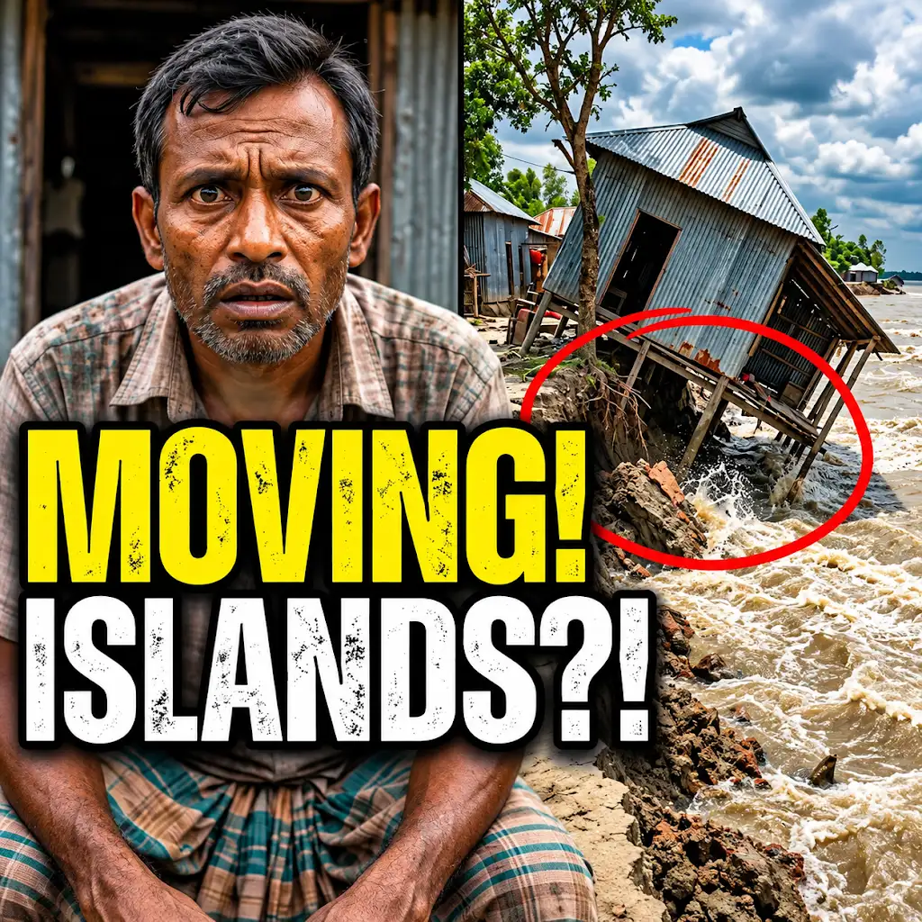
This River is Literally Erasing Islands
FAQs
What is Sentinel-1 radar?
Sentinel-1 radar is a satellite mission developed by the European Space Agency (ESA) for Earth observation. It uses radar to capture images of the Earth’s surface, providing valuable data for various applications.
How does Sentinel-1 radar help in monitoring rivers?
Sentinel-1 radar can monitor rivers by detecting changes in water levels, flow patterns, and flood events. It provides valuable information for flood forecasting, water resource management, and environmental monitoring.
What are the benefits of using Sentinel-1 radar for Earth observation of rivers?
The benefits of using Sentinel-1 radar for Earth observation of rivers include its all-weather capability, high spatial resolution, frequent revisit times, and ability to monitor large areas efficiently. It helps in better understanding and managing river systems.
How does Sentinel-1 radar data contribute to river management and conservation?
Sentinel-1 radar data contributes to river management and conservation by providing valuable insights into river dynamics, water quality, land use changes, and ecosystem health. It helps in making informed decisions for sustainable river management practices.
Can Sentinel-1 radar data be used for monitoring changes in river morphology over time?
Yes, Sentinel-1 radar data can be used for monitoring changes in river morphology over time. By analyzing radar images captured at different time points, scientists can track changes in river channels, sediment transport, and erosion patterns, aiding in long-term river management strategies.