
The Evolving Landscape: Understanding Tropical Rivers with Radar Satellites
Tropical river systems are vital arteries of the planet, influencing vast ecosystems, supporting diverse human populations, and playing a crucial role in global hydrological cycles. These dynamic environments are characterized by seasonal flooding, complex sediment transport, and rapid environmental change, making their effective monitoring a significant scientific and societal challenge. Traditional ground-based methods, while valuable, often struggle to provide the comprehensive spatial and temporal coverage needed to grasp the full extent of these dynamic processes. However, the advent and refinement of radar satellite imaging have revolutionized our ability to observe and understand tropical river dynamics, offering an unprecedented window into these complex watery landscapes.
Radar satellite imaging plays a crucial role in monitoring and analyzing tropical rivers, providing valuable insights into their dynamics and environmental changes. For a deeper understanding of this technology and its applications, you can explore the related article on MyGeoQuest, which discusses the advancements in remote sensing techniques and their impact on river management. For more information, visit MyGeoQuest.
Harnessing the Power of Microwave: The Principles of Radar Satellite Imaging

Radar satellite imaging, specifically Synthetic Aperture Radar (SAR), operates on a fundamentally different principle than optical imagery. Instead of passively capturing sunlight reflected from the Earth’s surface, SAR systems actively emit microwave pulses and record the backscattered signal. This active sensing capability offers several distinct advantages, particularly for monitoring environments like tropical river basins that are often obscured by persistent cloud cover.
Active Sensing in All Weather
Tropical regions are notorious for their dense cloud formations, which can render optical satellite imagery useless for extended periods. SAR, however, penetrates clouds, fog, and even light rain, allowing for consistent data acquisition regardless of atmospheric conditions. This all-weather capability is paramount for establishing continuous monitoring programs of tropical rivers, ensuring that crucial events like floods and droughts are captured without interruption. The ability to acquire data on a regular basis, irrespective of weather, provides a more complete and accurate picture of riverine behavior.
Penetrating the Canopy: Seeing Beyond the Surface
While SAR primarily interacts with the surface of objects, certain frequencies can achieve a degree of penetration into vegetation canopies. This is particularly relevant in tropical riverine environments, which are often densely forested. The radar signal can interact with the water surface beneath the foliage, allowing for the detection of inundation even in heavily vegetated areas. The degree of penetration depends on the wavelength of the radar signal and the density of the vegetation, with longer wavelengths generally offering better penetration. This capability is a game-changer for mapping flood extent in the dense rainforests that often fringe tropical rivers, areas that are notoriously difficult to access and monitor from the ground.
Sensitivity to Surface Roughness and Dielectric Properties
The strength of the backscattered radar signal is influenced by the roughness of the surface and its dielectric properties. Water, being a smooth surface with low dielectric loss, typically appears dark in SAR imagery because it absorbs most of the incoming radar energy rather than reflecting it back to the sensor. Conversely, rough surfaces, such as flooded vegetation or inundated land with emergent features, will scatter the radar signal in multiple directions, resulting in brighter returns. This contrast between water and land, and between different types of inundation, is fundamental to SAR’s utility in mapping water bodies and flood extent. Changes in the dielectric properties, such as those associated with saturated soil during flooding, also contribute to detectable variations in the radar signal.
Mapping the Flow: Applications of Radar in Tropical River Monitoring

The unique characteristics of SAR imagery translate into a wide array of applications for understanding and managing tropical river systems. From mapping flood extents to monitoring sedimentation and land cover change, radar satellites are providing invaluable data for scientists, policymakers, and humanitarian organizations.
Delving into Flood Dynamics: Extent, Depth, and Duration
One of the most critical applications of SAR for tropical rivers is the mapping of flood extent. The ability to acquire cloud-free imagery allows for near real-time assessment of inundated areas during flood events, which is crucial for emergency response and disaster management. SAR data can be processed to delineate the boundaries of flooded regions with high accuracy. Furthermore, by comparing SAR images acquired over time, it is possible to estimate the duration of flooding in different areas. While directly measuring flood depth with SAR is challenging, combining SAR data with other datasets, such as digital elevation models (DEMs) or hydrological models, can provide valuable insights into flood inundation depth and its spatial distribution. This information is vital for assessing the impact of floods on human settlements, agricultural lands, and natural ecosystems. The temporal resolution of SAR missions, particularly with the increasing number of satellites in orbit, allows for the tracking of flood wave propagation and recession, offering a dynamic understanding of flood behavior.
Tracing Sediment Pathways: Understanding River Morphology and Transport
Tropical rivers are characterized by high sediment loads, which significantly influence river morphology, delta formation, and coastal erosion. SAR imagery can provide indirect insights into sediment transport processes. Turbidity in river water, often indicative of high sediment concentrations, can influence the radar backscatter. Areas of high turbidity may appear brighter than clear water, offering a way to map sediment plumes and track their movement downstream. Moreover, the accumulation of sediments can lead to changes in the landscape, such as the formation of new islands or the siltation of channels. SAR’s ability to detect subtle changes in surface features over time can help monitor these geomorphological processes. By analyzing sequences of SAR images, researchers can observe the evolution of river channels, the migration of sandbars, and the expansion or contraction of deltas, providing crucial data for understanding the long-term dynamics of sediment transport.
Observing Land Use and Land Cover Change in Riparian Zones
The areas adjacent to tropical rivers, known as riparian zones, are ecologically sensitive and often subject to significant land-use change. Deforestation, agricultural expansion, and urbanization can all impact river health and water quality. SAR imagery, with its ability to penetrate vegetation and its sensitivity to surface characteristics, can be used to map and monitor these changes. For instance, the distinct radar signatures of different land cover types, such as forests, agricultural fields, and urban areas, allow for their differentiation. By comparing SAR data from different time periods, researchers can identify areas undergoing deforestation, monitor the expansion of agricultural areas into previously forested riparian zones, and track the growth of settlements along riverbanks. This information is critical for sustainable land management, conservation efforts, and understanding the cumulative impacts of human activities on river ecosystems.
Navigating the Data Stream: Challenges and Innovations in Radar Data Analysis
While the capabilities of SAR are transformative, the analysis of radar imagery presents its own set of challenges. The unique nature of radar data requires specialized processing techniques and interpretation skills. However, ongoing technological advancements and algorithm development are continually improving our ability to extract meaningful information from these datasets.
Speckle Noise and Data Preprocessing
One of the inherent characteristics of SAR imagery is the presence of speckle noise. This is a granular interference pattern that arises from the constructive and destructive interference of radar waves scattered by the microscopic surface features. Speckle can degrade the visual quality of the imagery and complicate the identification of subtle features. Sophisticated filtering techniques, such as Lee, Frost, or Gamma filters, are employed to reduce speckle while preserving important image details. Additionally, geometric corrections are essential to align SAR images with geographic coordinates and to compensate for distortions caused by the radar’s viewing geometry. Accurate georeferencing and orthorectification are crucial for integrating SAR data with other geospatial datasets and for conducting precise measurements.
Advanced Algorithms for Inundation Mapping and Change Detection
Extracting information about water bodies and changes over time from SAR data relies heavily on advanced algorithms. For inundation mapping, thresholding techniques are commonly used, where pixels with backscatter values below a certain threshold are classified as water. However, for complex environments with varying vegetation cover and surface roughness, more sophisticated methods are required. Machine learning algorithms, such as Support Vector Machines (SVMs) or Random Forests, are increasingly being employed to classify SAR imagery based on a combination of backscatter intensity, texture, and polarimetric features. For change detection, algorithms compare SAR images acquired at different times to identify areas where significant differences in backscatter or surface characteristics have occurred. These algorithms can highlight areas of new inundation, deforestation, or urban expansion, providing a quantitative measure of change.
Integrating Radar with Other Data Sources: A Synergistic Approach
The true power of radar satellite imaging is often realized when it is integrated with other data sources. Combining SAR data with optical imagery can provide a more comprehensive understanding of land cover and its changes, as optical data is sensitive to spectral properties that radar is not. For example, while SAR can map inundation under clouds, optical imagery can provide details about the type of vegetation present in the flooded areas. Digital Elevation Models (DEMs) are crucial for hydrological modeling and for estimating flood depth from SAR-derived inundation maps. Time-series analysis of SAR data, coupled with meteorological data, can help build predictive models for flood forecasting and drought monitoring. This synergistic approach, where different data types complement each other, leads to more robust and reliable scientific conclusions and more effective decision-making.
Radar satellite imaging has become an invaluable tool for monitoring tropical rivers, providing detailed insights into their dynamics and surrounding ecosystems. A related article discusses the advancements in remote sensing technologies and their applications in hydrology, which can be found at this link. By leveraging these technologies, researchers can better understand river behavior, assess flood risks, and manage water resources effectively in tropical regions.
The Future Outlook: Enhanced Resolution and Emerging Technologies
| Metric | Description | Typical Values | Relevance to Tropical Rivers |
|---|---|---|---|
| Spatial Resolution | Size of the smallest object that can be detected | 1 m to 100 m | High resolution needed to capture narrow river channels and floodplains |
| Temporal Resolution | Frequency of satellite revisits over the same area | 1 to 16 days | Important for monitoring rapid changes in river flow and flooding events |
| Radar Frequency Band | Electromagnetic frequency used for imaging | X-band, C-band, L-band | L-band preferred for penetrating dense tropical vegetation and water surface |
| Swath Width | Width of the ground area imaged in one pass | 50 km to 400 km | Wide swath allows coverage of large river basins and floodplains |
| Backscatter Coefficient (σ0) | Measure of radar signal reflected from the surface | -20 dB to 0 dB | Used to differentiate water, vegetation, and soil types in tropical river environments |
| Polarization Modes | Orientation of radar wave transmission and reception | HH, HV, VH, VV | Cross-polarization helps in distinguishing flooded vegetation from dry areas |
| Incidence Angle | Angle between radar beam and vertical | 20° to 45° | Affects backscatter intensity and interpretation of river morphology |
| Flood Detection Accuracy | Ability to correctly identify flooded areas | 85% to 95% | Critical for flood risk management and disaster response in tropical regions |
The field of radar satellite imaging is continuously evolving, with ongoing advancements in sensor technology and data processing promising even greater insights into tropical river dynamics. The trend towards higher resolution data and more frequent revisit times will further enhance our ability to monitor these complex systems.
Higher Resolution Imaging for Finer Scale Analysis
Future SAR missions are expected to provide imagery with increasingly higher spatial resolution. This will enable the detection of finer-scale features within river systems, such as small tributaries, oxbow lakes, and the detailed morphology of riverbanks. Higher resolution data will also allow for more accurate mapping of inundation in areas with complex topography and fragmented water bodies. This enhanced detail will be invaluable for studying localized erosion and accretion processes, understanding the impact of infrastructure on river flow, and supporting precise hydrological modeling at the watershed level. The ability to discern smaller features will also improve the accuracy of land cover classification in riparian zones, allowing for more targeted conservation and management strategies.
Multi-Temporal and Multi-Polarimetric SAR for Deeper Insights
The increasing availability of multi-temporal SAR data, acquired over extended periods, allows for the analysis of long-term trends and seasonal variations in river systems. By examining how river channels, floodplains, and riparian vegetation change over years, researchers can gain a better understanding of the drivers of these changes, including climate change and human activities. Furthermore, advancements in multi-polarimetric SAR, which transmits and receives radar signals in different polarization states, provide additional information about the structure and composition of the scattering surface. This can help differentiate between different types of vegetation, distinguish between smooth water surfaces and rough, flooded surfaces, and even provide insights into soil moisture conditions.
The Role of Artificial Intelligence and Machine Learning
The integration of artificial intelligence (AI) and machine learning (ML) is poised to play a transformative role in the analysis of SAR data for tropical river monitoring. AI/ML algorithms can automate complex processing tasks, accelerate the interpretation of large datasets, and identify subtle patterns that might be missed by human analysts. This includes the development of intelligent systems for real-time flood detection and early warning, automated mapping of land cover change, and predictive modeling of river behavior. As the volume of SAR data continues to grow, AI/ML will become indispensable tools for unlocking its full potential. The ability of these algorithms to learn from vast amounts of data will enable more sophisticated and accurate analyses, leading to a deeper and more nuanced understanding of tropical river dynamics.
Conclusion: A New Era of Understanding for Vital Waterways
Radar satellite imaging has ushered in a new era of understanding for tropical river dynamics. Its ability to pierce through cloud cover, penetrate vegetation, and sensitively detect changes in the Earth’s surface provides an unprecedented observational capability. From mapping the devastating extent of floods to meticulously tracing the slow creep of sediment and the subtle shifts in riparian land use, SAR is equipping scientists and decision-makers with the data necessary to manage these vital waterways more effectively. As the technology continues to advance, offering higher resolutions, more frequent acquisitions, and increasingly sophisticated analytical tools, our capacity to comprehend and protect these indispensable river systems will only grow, ensuring their health and sustainability for generations to come. The ongoing development and application of radar satellite technology represent a critical step forward in our global efforts to monitor, understand, and ultimately safeguard the world’s most important tropical river basins.
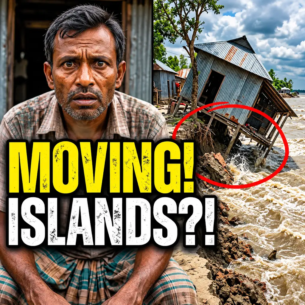
This River is Literally Erasing Islands
FAQs
What is radar satellite imaging?
Radar satellite imaging is a technology that uses radar waves to capture high-resolution images of the Earth’s surface from space. It is particularly useful for monitoring changes in terrain, water bodies, and vegetation over time.
How can radar satellite imaging be beneficial for tropical rivers?
Radar satellite imaging can provide valuable data on the water levels, flow rates, and changes in river morphology in tropical regions. This information is crucial for flood forecasting, water resource management, and environmental monitoring.
What are some advantages of using radar satellite imaging for studying tropical rivers?
Some advantages of using radar satellite imaging for studying tropical rivers include its all-weather capability, ability to penetrate cloud cover, wide coverage area, and high spatial resolution. These features make it a powerful tool for monitoring remote and inaccessible river basins.
How does radar satellite imaging help in monitoring deforestation and land use changes along tropical rivers?
Radar satellite imaging can detect changes in land cover, including deforestation, urban expansion, and agricultural activities along tropical rivers. By comparing images taken at different times, researchers can track land use changes and assess their impact on river ecosystems.
What are some challenges associated with using radar satellite imaging for tropical river monitoring?
Some challenges associated with using radar satellite imaging for tropical river monitoring include the high cost of data acquisition and processing, limited availability of historical data for long-term studies, and the need for specialized expertise to interpret radar images accurately.