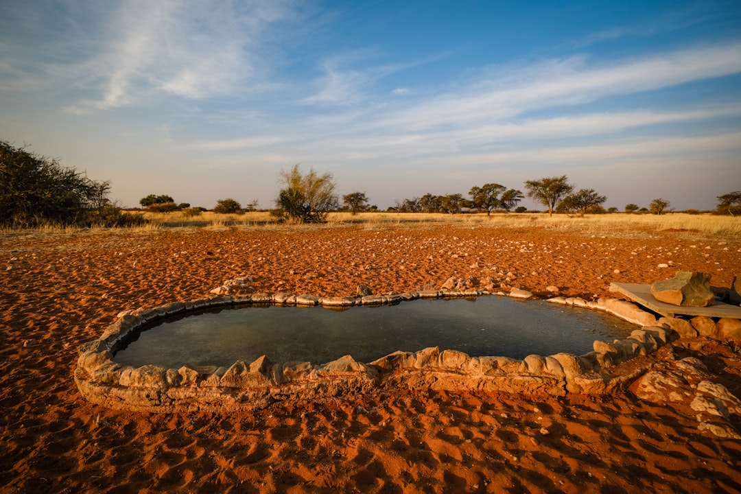
The Ogallala Aquifer, a colossal underground reservoir, has long been the lifeblood of agriculture in the central United States. Spanning parts of eight states—Nebraska, Kansas, Colorado, Oklahoma, New Mexico, Texas, South Dakota, and Wyoming—it is a vast, porous layer of sand, gravel, and clay that holds an immense volume of water. For decades, this geological marvel has fueled a green revolution, transforming arid plains into productive breadbaskets. However, this abundance is not infinite. The relentless pace of water extraction, far exceeding its natural replenishment, has placed the Ogallala Aquifer on a perilous trajectory of depletion. Understanding the scope of this challenge requires a clear visualization of its current state and a grasp of the historical forces driving its decline.
The Ogallala Aquifer, also known as the High Plains Aquifer System, is not a single, contiguous underground lake. Instead, it is an interconnected network of saturated zones within the Ogallala Formation, a geological deposit dating back to the Pliocene and Pleistocene epochs. Its geographical extent is staggering, covering approximately 174,000 square miles, a surface area rivaling that of many European nations. The thickness of the aquifer varies considerably, ranging from a few feet in the north to over 600 feet in parts of Texas. This variability in depth dictates the ease and cost of accessing its water.
Geographic Distribution and State Boundaries
The aquifer’s influence stretches across six of the central United States plains states, extending into the bordering regions of two others.
Nebraska: The Northern Bastion
Nebraska holds the largest share of the Ogallala Aquifer, with its northern and central portions being particularly rich in groundwater. This abundance has historically supported a robust agricultural sector, making irrigation a cornerstone of the state’s economy.
Kansas: The Agricultural Heartwood
Kansas is another state profoundly reliant on the Ogallala. Much of its western and central regions are underlain by the aquifer, and irrigation is critical for its wheat, corn, and sorghum production. The water table in parts of Kansas has experienced some of the most significant declines.
Colorado: The Western Edge
The southeastern corner of Colorado benefits from the Ogallala’s waters, though the aquifer is generally thinner and less productive in this area compared to its eastern neighbors.
Oklahoma: Crossroads of Abundance
Western and northwestern Oklahoma are significant users of Ogallala water, supporting a diverse array of crops and livestock.
New Mexico: Emerging Dependencies
The northeastern plains of New Mexico draw upon the aquifer, with irrigation playing an increasingly important role in its agricultural output.
Texas: The Southern Frontier
Texas boasts a substantial portion of the Ogallala, particularly in its northwestern region, known as the Panhandle. Here, the aquifer is often deeper, but also subject to intense pumping, leading to the most pronounced depletion in some areas.
South Dakota and Wyoming: Northern Outposts
While smaller portions of the Ogallala extend into South Dakota and Wyoming, these states are less dependent on it for large-scale irrigation compared to the central plains states.
Geological Formation and Hydrology
The Ogallala is primarily composed of unconsolidated sediments—layers of sand, gravel, silt, and clay—deposited over millions of years by ancient rivers and wind. Its porous nature allows water to percolate through, forming a vast, subterranean reservoir.
The Role of Sand and Gravel
The permeable layers of sand and gravel are crucial to the aquifer’s capacity. These materials act like a giant sponge, holding and transmitting water.
Clay Lenses and Aquitards
Interspersed within the sand and gravel are layers of clay, which are less permeable. These clay lenses can act as aquitards, slowing down the movement of water and influencing the interconnectedness of different sections of the aquifer.
Recharge Mechanisms: A Limited Supply
The Ogallala’s recharge rate is exceptionally slow. The primary source of replenishment is precipitation that infiltrates the ground, a process that can take thousands of years to reach the deepest parts of the aquifer.
Direct Precipitation Infiltration
In areas where the aquifer is closer to the surface, direct rainfall can infiltrate and contribute to recharge, but this is a slow and spatially limited process.
Underflow from Upgradient Areas
Water can also enter the aquifer from upgradient formations, but these contributions are generally insufficient to offset extraction rates.
The depletion of the Ogallala Aquifer has become a critical issue for agricultural sustainability in the Great Plains region of the United States. For those interested in understanding the extent of this depletion, a detailed map and timeline can be found in a related article that provides valuable insights into the historical and current status of the aquifer. To explore this informative resource, visit this link.
Mapping the Depletion: A Visual Chronicle of Loss
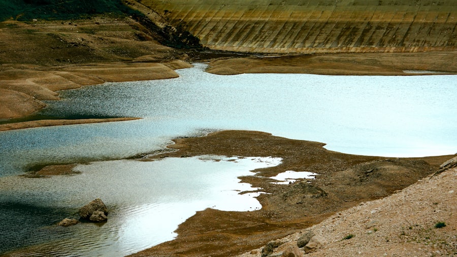
Visualizing the Ogallala Aquifer’s depletion is essential to comprehending the scale of the problem. Maps that depict changes in water levels over time serve as stark indictments of current water management practices. These visual tools are not mere geographical representations; they are historical records of a vanishing resource, painted in shades of red, orange, and yellow, signaling alarm and urgency.
Historical Water Level Trends
Early studies and ongoing monitoring efforts have charted the dramatic decline in the Ogallala’s water table. These trends, when mapped, reveal a consistent pattern of depletion across large swaths of the aquifer.
Early Inflow and Outflow: The Pre-Irrigation Era
Before the widespread adoption of irrigation, the natural inflow and outflow of the Ogallala were relatively balanced. The aquifer was a stable, albeit slow-moving, reserve.
The Surge of Irrigation: A New Era of Extraction
The mid-20th century marked a pivotal shift. The development of efficient irrigation technologies, coupled with the burgeoning demand for agricultural products, led to an unprecedented increase in groundwater pumping.
Documenting the Drawdown: Satellite and Ground-Based Data
Scientists have employed various methods to monitor the aquifer’s health, including direct measurements from wells and satellite-based gravity measurements (GRACE satellites) that can detect changes in water mass.
Key Depletion Hotspots and Areas of Concern
Certain regions within the Ogallala Aquifer are experiencing more rapid depletion than others. These “hotspots” are critical areas for focused attention and policy intervention.
Western Kansas: The Front Lines of Decline
Western Kansas has long been identified as a region with some of the most severe declines in water levels. Decades of intensive pumping have significantly lowered the water table, impacting agricultural viability.
The Texas Panhandle: Persistent Pumping Pressures
The Texas Panhandle, with its deep aquifer and intensive agricultural operations, faces similar challenges. High rates of extraction have led to substantial drawdown, forcing difficult decisions for farmers.
Southeastern Colorado and Southwestern Nebraska: Emerging Challenges
While historically less impacted, these areas are now also showing signs of significant depletion as pumping pressures increase.
The Impact of Pumping Technology
Advancements in well-drilling and pumping technology have amplified humanity’s ability to extract groundwater, inadvertently accelerating the aquifer’s decline.
Deeper Wells and More Powerful Pumps
The ability to drill deeper wells and utilize more powerful pumps has allowed farmers to access water that was previously out of reach, intensifying the drawdown effect.
Center-Pivot Irrigation Systems
The widespread adoption of center-pivot irrigation systems, while highly efficient in water application, has also facilitated larger-scale irrigation, further contributing to the overall demand on the aquifer.
A Timeline of Depletion: From Abundance to Alarm
The story of the Ogallala Aquifer’s depletion is not a sudden event but a gradual unfolding over decades. Understanding its historical trajectory is crucial for appreciating the current crisis and for charting a sustainable path forward. This timeline is a narrative of increasing reliance, technological advancement, and, ultimately, a growing awareness of unsustainable practices.
Early 20th Century: The Untapped Potential
At the turn of the 20th century, the Ogallala Aquifer was largely an untapped resource. Its vastness was a promise of future prosperity, a blank canvas for agricultural expansion.
Pre-Irrigation Agriculture
Farming in the Plains states was primarily rain-fed, subject to the vagaries of drought. The potential of the underground water was recognized but not yet widely exploited.
Early Groundwater Use
Limited wells and windmills were used for livestock and domestic purposes, with minimal impact on the aquifer’s overall level.
Mid-20th Century: The Irrigation Revolution Begins
The post-World War II era witnessed a dramatic transformation in agriculture, driven by technological innovation.
The Rise of Center-Pivot Irrigation
The invention and widespread adoption of center-pivot irrigation systems made it possible to irrigate large tracts of land efficiently. This marked the beginning of a new era of high water demand.
Government Support for Agricultural Development
Policies and financial incentives often encouraged the expansion of irrigated agriculture, further accelerating groundwater extraction.
Late 20th Century: Growing Concerns Emerge
As irrigation expanded and water levels began to visibly recede in some areas, scientific and public concern started to grow.
Scientific Monitoring and Data Collection
Researchers began to systematically monitor water levels, providing the first concrete evidence of significant aquifer depletion.
Early Reports and Predictions
The initial scientific reports highlighted the unsustainable nature of the current pumping rates, with some predicting future water scarcity.
Early 21st Century: The Crisis Becomes Undeniable
By the turn of the millennium, the Ogallala Aquifer’s depletion was no longer a distant prediction but a tangible reality.
Widespread Water Level Declines
Data clearly showed significant declines in water levels across most of the aquifer’s extent.
Economic and Social Impacts
The economic viability of some agricultural regions began to be threatened, leading to discussions about water conservation and alternative agricultural practices.
Policy Debates and Water Management Strategies
Governments and water management districts initiated efforts to address the depletion, exploring regulations, incentives for conservation, and water reallocation strategies.
The Science Behind the Scarcity: Understanding the Drivers of Depletion

The depletion of the Ogallala Aquifer is a complex interplay of natural hydrological processes and human activities. While the aquifer itself is a geological wonder, its current state is a direct consequence of unsustainable human demand. Understanding the scientific principles at play is crucial to implementing effective solutions.
Hydrologic Balance: A Jaundiced Scale
The concept of hydrologic balance—the equilibrium between water entering and leaving a system—is severely disrupted in the case of the Ogallala. The water entering the aquifer through slow recharge processes is a mere trickle compared to the torrent of water being pumped out.
Recharge vs. Evapotranspiration and Withdrawal
Natural recharge from precipitation is a slow, intermittent process. This is dwarfed by the combined rates of evapotranspiration (water lost from plants and soil to the atmosphere) and direct withdrawal for irrigation.
The “Fossil Water” Analogy
Much of the water in the Ogallala is often referred to as “fossil water,” meaning it was accumulated over thousands of years and is being extracted at a rate far exceeding its natural replenishment. This is akin to emptying an ancient, slow-filling reservoir with a mighty pump.
Unsustainable Pumping Rates: The Engine of Depletion
The primary driver of Ogallala depletion is the sustained, high volume of water extracted for agricultural irrigation. This is not a malicious act but a consequence of economic necessity and technological capability in a semi-arid region.
Irrigation: The Dominant Water User
Agriculture, particularly irrigated farming, accounts for the vast majority of water withdrawn from the Ogallala. Crops like corn, soybeans, and alfalfa require significant amounts of water to thrive in the Plains’ climate.
Economic Pressures and Crop Choices
The economic realities of farming often dictate crop choices that are water-intensive. The profitability of certain crops, coupled with the availability of relatively (historically) inexpensive groundwater, incentivizes high water usage.
The Myth of Infinite Blue Gold
For many years, the sheer volume of water in the Ogallala fostered a perception of inexhaustible supply. This “blue gold” was treated as a limitless resource, leading to its profligate use.
Climate Change: An Accelerating Factor
While human pumping is the primary cause of depletion, climate change is increasingly recognized as a factor that exacerbates the problem.
Increased Temperatures and Evaporation
Rising global temperatures lead to increased evapotranspiration rates, meaning that more water is lost from the soil and plants, requiring even more irrigation to maintain crop yields.
Changes in Precipitation Patterns
While precipitation forecasts are complex, some regions within the Ogallala’s footprint may experience reduced rainfall or more erratic precipitation patterns, further stressing the aquifer.
Drought Cycles and Water Stress
Climate change can intensify drought cycles, placing greater reliance on groundwater during dry periods, thus increasing pumping demands when recharge is at its lowest.
The depletion of the Ogallala Aquifer has become a pressing concern for many regions that rely on its water supply for agriculture and drinking needs. A comprehensive understanding of this issue can be found in a related article that discusses the depletion map and timeline, providing valuable insights into the historical and projected changes in water levels. For more information on this topic, you can explore the article here, which delves into the implications of aquifer depletion and the potential strategies for sustainable water management.
Navigating the Future: Towards Sustainable Water Management
| Year | Estimated Water Level Decline (feet) | Area Affected (million acres) | Primary States Impacted | Notes |
|---|---|---|---|---|
| 1950 | 0 | 174 | Texas, Oklahoma, Kansas, Nebraska, South Dakota, Wyoming, Colorado, New Mexico | Baseline water levels before significant depletion |
| 1970 | 20-30 | 174 | Texas, Oklahoma, Kansas, Nebraska | Initial significant declines in Texas and Oklahoma regions |
| 1990 | 50-70 | 174 | Texas, Oklahoma, Kansas, Nebraska | Accelerated depletion due to increased irrigation |
| 2010 | 80-100 | 174 | Texas, Oklahoma, Kansas, Nebraska | Severe depletion in southern and central parts of the aquifer |
| 2020 | 100-120 | 174 | Texas, Oklahoma, Kansas, Nebraska | Continued decline with some conservation efforts underway |
| Projected 2050 | 130-150 | 174 | Texas, Oklahoma, Kansas, Nebraska | Potential critical depletion if current usage continues |
The stark reality of Ogallala Aquifer depletion demands a fundamental shift in water management strategies. The question is no longer if changes are needed, but how quickly and effectively they can be implemented. The future of agriculture and the economic stability of the High Plains depend on a proactive and collaborative approach to water conservation and allocation.
Conservation Strategies: More Crop Per Drop
Implementing water-saving technologies and practices is paramount to reducing the strain on the Ogallala. This involves a multifaceted approach, from individual farm-level adjustments to broader regional initiatives.
Drip Irrigation and Precision Agriculture
Transitioning from less efficient methods like flood or sprinkler irrigation to drip irrigation and other precision agriculture techniques can significantly reduce water usage while maintaining or even improving crop yields.
Drought-Tolerant Crops and Farming Practices
Research and adoption of drought-tolerant crop varieties, alongside farming techniques that enhance soil moisture retention (e.g., no-till farming, cover cropping), can lessen the dependency on irrigation.
Water-Use Efficiency Rules and Regulations
Implementing and enforcing regulations that promote water-use efficiency, such as mandatory reporting of water use or tiered pricing structures for groundwater abstraction, can incentivize conservation.
Policy and Governance: A Collaborative Framework
Effective water management requires robust policies and strong governance structures that transcend individual farm boundaries and even state lines.
Interstate Water Compacts and Agreements
Given the transboundary nature of the Ogallala, interstate agreements and compacts are crucial for coordinated management and equitable allocation of this shared resource.
Water Districts and Local Management
Empowering and supporting local water management districts to implement tailored conservation plans and enforce regulations specific to their region can be highly effective.
Incentive Programs for Water Conservation
Government and private sector initiatives that offer financial incentives, technical assistance, or tax breaks for adopting water-saving technologies and practices can accelerate the transition to sustainable water use.
Emerging Technologies and Innovations
Continued investment in research and development is vital to identifying and scaling up innovative solutions for water management and agricultural sustainability.
Advanced Monitoring and Data Analytics
Utilizing advanced sensor technology, remote sensing, and data analytics can provide real-time insights into aquifer levels and water use, enabling more informed decision-making.
Water Reuse and Desalination Technologies
While currently costly and energy-intensive, advancements in water reuse (reclaiming treated wastewater for agricultural or industrial purposes) and desalination (removing salt from brackish groundwater) may offer supplementary water sources in certain contexts.
Sustainable Agricultural Systems
Exploring and promoting integrated farming systems that incorporate water conservation, soil health, and biodiversity can build long-term resilience in the face of water scarcity. The Ogallala Aquifer’s story is a potent reminder that even the most seemingly boundless resources require careful stewardship. The path forward demands a collective commitment to responsible water management, ensuring the continued vitality of the High Plains for generations to come.
FAQs
What is the Ogallala Aquifer?
The Ogallala Aquifer is one of the largest underground freshwater reservoirs in the world, spanning eight states in the central United States. It provides water for agricultural, industrial, and municipal use.
What causes the depletion of the Ogallala Aquifer?
Depletion is primarily caused by extensive groundwater pumping for irrigation and other human activities, which exceeds the natural recharge rate of the aquifer.
What does an Ogallala Aquifer depletion map show?
A depletion map visually represents changes in the water levels of the Ogallala Aquifer over time, highlighting areas where water levels have significantly dropped.
Why is a timeline important in understanding Ogallala Aquifer depletion?
A timeline helps track the rate and extent of water level declines over specific periods, providing insight into trends and the effectiveness of conservation efforts.
What are the potential consequences of continued Ogallala Aquifer depletion?
Continued depletion can lead to reduced water availability for agriculture and communities, increased pumping costs, land subsidence, and long-term ecological impacts.