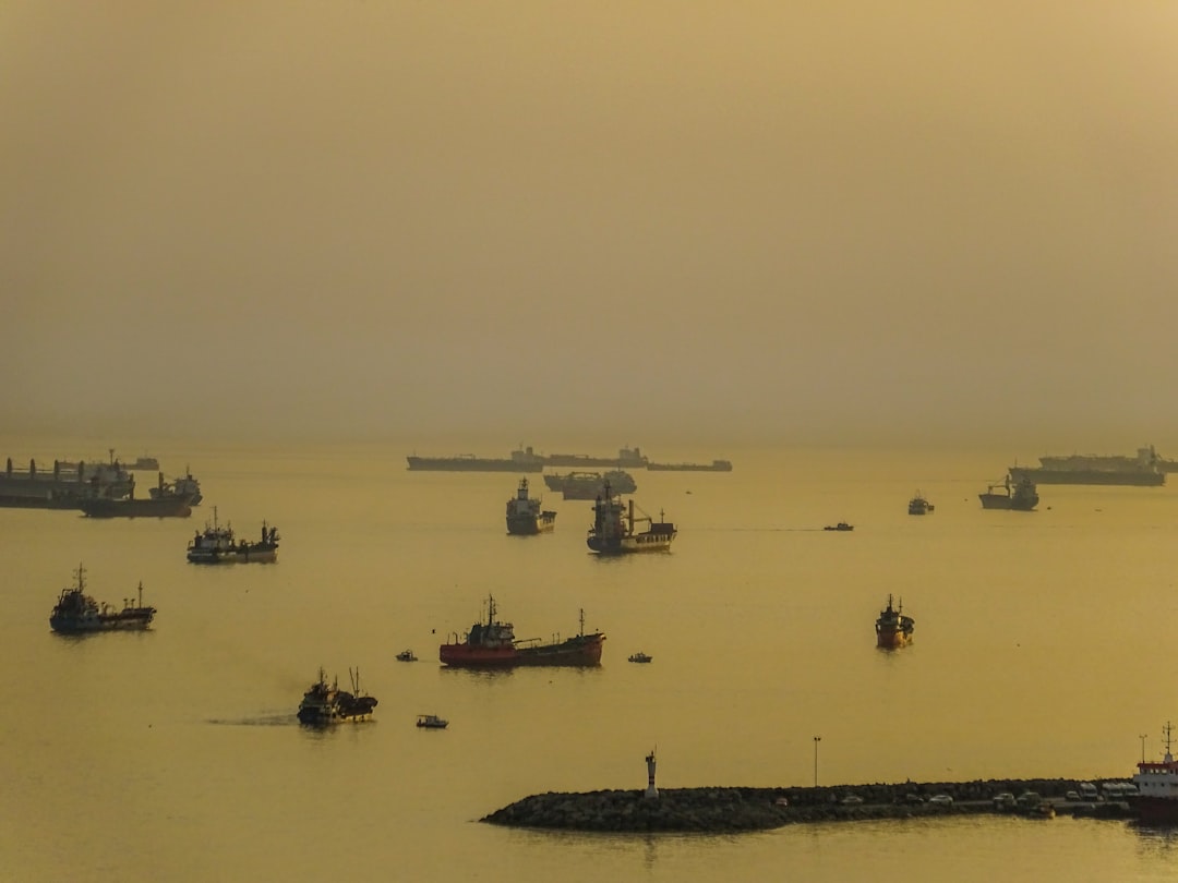
Navigating the World’s Shipping Lanes
You stand on the bridge of your vessel, the vast expanse of the ocean stretching before you. The hum of the engines is a constant companion, a testament to the intricate network of waterways that connect continents and economies. You are a navigator, a steward of this global highway, responsible for the safe and efficient passage of millions of tons of cargo. Understanding these shipping lanes isn’t just about avoiding collisions; it’s about mastering a complex ecosystem of currents, weather patterns, international regulations, and the ever-present rhythm of global trade. Prepare yourself, for the world’s shipping lanes await your expertise.
Imagine the world as a colossal organism, and the shipping lanes as its vital arteries. These aren’t natural rivers; they are meticulously defined pathways, both physical and regulatory, through which the lifeblood of international trade flows. Your responsibility is to traverse these arteries with precision, ensuring that goods reach their destinations reliably and economically. You are not just sailing; you are participating in a vast, intricate dance of supply and demand, a dance that shapes economies and influences lives across the globe.
The Backbone of the Global Economy
You understand that the goods you carry are not just inanimate objects. They are the raw materials for factories, the finished products on store shelves, the food on tables, and the fuel that powers industries. Without the efficient movement of these goods, the global economy would grind to a halt. You see the interconnectedness of it all – a shipment of semiconductors from Asia to Europe, a consignment of grain from North America to Africa, a load of automobiles from Europe to South America. You are the critical link in this chain, and your skill directly impacts the well-being of countless individuals and businesses.
The Physical Pathways
The oceans are vast, but the shipping lanes are not arbitrary. They are carefully chosen to optimize travel time, avoid treacherous geographical features, and adhere to international agreements. You are intimately familiar with these routes, the choke points where naval traffic is dense, and the vast open stretches where you have more freedom.
The Great Maritime Highways
These are the most heavily traveled routes, the superhighways of the sea. Think of the Strait of Malacca, a narrow passage connecting the Indian Ocean to the Pacific, a bottleneck teeming with vessels. Or consider the Suez Canal and the Panama Canal, man-made marvels that drastically shorten travel distances, reshaping global trade patterns. Your navigation here requires constant vigilance, adherence to strict traffic separation schemes, and excellent communication with other vessels and Vessel Traffic Services (VTS).
The Importance of Choke Points
These are areas where geography constricts naval traffic, making them critical and often vulnerable. The Strait of Hormuz, the Bab-el-Mandeb strait, and the Strait of Malacca are prime examples. You understand the increased risk of congestion and potential for geopolitical tension in these regions, and your planning must account for these factors.
The Role of Artificial Waterways
The Suez and Panama Canals are not mere shortcuts; they are economic game-changers. You recognize the immense significance of these engineered passages, the precision required to navigate them, and the impact their closure would have on global trade. You also appreciate the tolls and fees associated with their use, a financial consideration for your company.
The Regulatory Framework
Sailing these lanes is not a free-for-all. International bodies and national governments have established a complex web of regulations to ensure safety, security, and environmental protection. Your knowledge of these frameworks is as crucial as your ability to steer the ship.
International Maritime Organization (IMO) Standards
The IMO is the United Nations agency responsible for maritime safety and the prevention of pollution. You are familiar with its conventions, such as SOLAS (Safety of Life at Sea) and MARPOL (International Convention for the Prevention of Pollution from Ships). These are not abstract documents; they dictate how you operate your vessel, from lifeboat drills to waste management.
Flag State and Port State Control
Each vessel operates under a “flag state” – the country under whose laws it is registered. The flag state has the primary responsibility for ensuring compliance with international regulations. However, you also operate under the jurisdiction of “port states” – the countries you visit. Port State Control (PSC) inspectors can board your vessel to verify that you meet international safety and environmental standards. You must always be prepared for their scrutiny.
Regional Agreements and Bilateral Arrangements
Beyond global conventions, you must be aware of regional agreements and specific bilateral arrangements that might govern traffic in certain areas or between particular nations. These can range from joint patrols to specific environmental protection zones.
World shipping lanes are crucial for global trade, facilitating the movement of goods across vast distances. For a deeper understanding of the dynamics and significance of these maritime routes, you can explore a related article that delves into the intricacies of shipping logistics and their impact on international commerce. To read more, visit this article.
The Unseen Forces: Currents and Weather
The sea is a dynamic entity, constantly influenced by powerful natural forces. Your mastery of shipping lanes requires an intimate understanding of these forces, not just to navigate efficiently, but to survive.
Harnessing the Power of Ocean Currents
Ocean currents are like invisible rivers flowing across the surface and through the depths of the ocean. Some are vast, powerful rivers of water, while others are more subtle. For you, they represent both challenges and opportunities.
Major Ocean Currents and Their Impact
You study the prevailing currents along your routes. The Gulf Stream, for instance, can significantly boost your speed when traveling eastwards across the Atlantic, or be a formidable headwind when traveling west. Understanding these large-scale systems can shave days off your journey and save your company significant fuel costs. You also consider the tidal currents in coastal areas and estuaries, which can be particularly strong and require careful maneuvering.
Utilizing Currents for Efficiency
Smart navigation involves anticipating and utilizing favorable currents. This might mean adjusting your course slightly to gain a boost or planning your arrival at a certain strait during a specific tidal phase. It’s about working with the ocean, not against it.
Predicting and Responding to Weather Patterns
Weather is arguably the most unpredictable and potentially dangerous element you face. A well-timed storm can cripple a voyage, while a forecast of fair weather can ensure a smooth passage.
Understanding Meteorological Data
You rely heavily on meteorological forecasts, from long-range outlooks to immediate satellite imagery. You interpret isobar maps, wind speed charts, and sea state reports, translating them into actionable decisions for your ship. You learn to recognize the signs of approaching storms, understanding the characteristics of different weather systems.
Navigating Through Severe Weather
When storms are unavoidable, your training and experience become paramount. You learn to reduce speed, adjust your course to minimize stress on the hull, and secure all loose gear. Your crew’s safety and the integrity of the cargo depend on your ability to weather the tempest.
The Impact of Climate Change on Shipping
You are increasingly aware of the long-term impacts of climate change on shipping. Melting ice caps are opening new Arctic shipping routes, while rising sea levels and more extreme weather events pose new challenges in traditional areas. You are part of an industry adapting to a changing planet.
Charting a Course: Navigation Tools and Technologies
In your hands, the most advanced technologies combine with time-tested principles to guide your vessel across thousands of miles. The bridge is your command center, equipped with a sophisticated array of tools.
The Evolution of Maritime Navigation
You stand on the shoulders of giants, your predecessors relying on sextants and celestial navigation. While those skills remain valuable, your toolkit is far more advanced. The transition from paper charts to electronic ones has revolutionized how you plan and execute your voyages.
From Sextants to Satellites
You understand the historical context of navigation. While you may still practice celestial navigation as a backup, your primary tools are far more sophisticated.
The Digital Revolution: ECDIS and GPS
The Electronic Chart Display and Information System (ECDIS) is your primary navigation display. It combines digital charts with GPS (Global Positioning System) data, providing a real-time visualization of your vessel’s position, course, and surrounding environment. GPS, a constellation of satellites, feeds you precise positional data, allowing you to know exactly where you are on the globe.
Essential Onboard Equipment
Your bridge is a symphony of blinking lights and humming machinery, all working together to keep you on course.
Radar and AIS: Seeing and Being Seen
Radar allows you to “see” through fog and darkness, detecting other vessels, landmasses, and navigational hazards. The Automatic Identification System (AIS) transmits and receives real-time information about other vessels, including their identity, position, speed, and course. Together, these systems are crucial for collision avoidance. You are constantly monitoring your radar screen and the AIS data.
Echo Sounders and Sonar: Understanding the Depths
Echo sounders measure the depth of the water beneath your hull, vital for safe navigation in shallower waters. Sonar systems can provide more detailed information about the seabed and can be used for detecting submerged objects.
Communication Systems: Staying Connected
Reliable communication is paramount. You utilize VHF radio for short-range communication with other vessels and shore stations. For longer distances, satellite communication systems keep you in touch with your company, weather services, and emergency responders. You understand the protocols for distress calls and the importance of clear, concise radio transmissions.
The Human Element: Crew and Command
While technology is indispensable, the success of your voyage ultimately rests on the capabilities and coordination of your crew, and your leadership.
The Importance of a Skilled and Coordinated Crew
Your vessel is a complex piece of machinery, but it is the skilled hands and minds of your crew that bring it to life. You foster an environment of teamwork and trust.
Roles and Responsibilities on the Bridge
From the helmsman steering the course to the lookout maintaining a visual watch, each member of the bridge team has a vital role. You delegate tasks effectively and ensure clear communication among all watchstanders.
The Significance of Effective Communication
Misunderstandings can have disastrous consequences at sea. You emphasize clear, unambiguous communication during watch changes, when handing over control of the vessel, and in all operational matters. Your bridge is a hub of constant, precise dialogue.
Your Role as a Leader
You are more than just a navigator; you are the captain of your domain. Your decisions, your leadership, and your ability to manage your crew under pressure are critical.
Decision-Making Under Pressure
The sea can present unexpected challenges. You must have the confidence and skill to make rapid, informed decisions, often with incomplete information, while managing the nerves of your crew. Your ability to remain calm and decisive is contagious.
The Responsibility for Safety and Security
You are ultimately responsible for the safety of your crew, your vessel, and the cargo. This extends to the security of your ship against piracy and other threats, especially in certain regions. You implement and enforce strict security protocols and ensure your crew is well-trained in their application.
World shipping lanes are crucial for global trade, facilitating the movement of goods across vast distances. Understanding these routes can provide insights into economic trends and geopolitical dynamics. For a deeper exploration of the significance and challenges faced by these shipping lanes, you can read a related article on this topic at MyGeoQuest, which delves into the complexities of maritime logistics and the impact of recent developments on international shipping.
The Future of Shipping Lanes
| Shipping Lane | Busiest Ports | Annual Cargo Volume (in tons) |
|---|---|---|
| Suez Canal | Port Said, Suez | 1.17 billion |
| Panama Canal | Balboa, Cristobal | 450 million |
| Strait of Malacca | Singapore, Port Klang | 1.2 billion |
| Strait of Hormuz | Bandar Abbas, Ras Tanura | 1.2 billion |
The world of maritime navigation is not static. You are part of an industry constantly evolving, driven by technological advancements, growing environmental concerns, and shifting global dynamics. Your understanding of these trends is crucial for your continued success.
Technological Advancements Shaping the Future
Innovation is transforming every aspect of shipping. You are at the forefront of these changes, integrating new technologies into your daily operations.
Autonomous and Remote-Controlled Vessels
The concept of autonomous ships is no longer science fiction. You may one day see your role evolve, with vessels operating with reduced human crews or even being remotely piloted from shore. You are an early adopter of pilot programs and new integrations of automation.
Big Data and Artificial Intelligence
The vast amounts of data generated by modern vessels are being analyzed using AI. This can lead to optimized routes, predictive maintenance, and enhanced safety. You are an active participant in the collection and utilization of this data.
Environmental Stewardship and Sustainability
The shipping industry has a significant environmental footprint. You are a crucial part of the effort to minimize this impact.
Decarbonization Efforts and New Fuels
The drive to reduce greenhouse gas emissions is a major focus. You are witness to the development and adoption of new fuels like LNG, methanol, and hydrogen, and the increasing efficiency of ship designs. This impacts your operational procedures and the choices your company makes.
Protecting Marine Ecosystems
Beyond emissions, you are aware of the impact of shipping on marine life. This includes measures to prevent oil spills, manage noise pollution, and avoid sensitive habitats. Your compliance with environmental regulations is paramount.
Adapting to Geopolitical Shifts and New Trade Routes
The global landscape is constantly changing, and this directly affects the shipping lanes you navigate.
The Rise of New Economic Powers and Their Impact on Trade Flows
As global economic power shifts, so do trade routes. You must be aware of emerging markets and their influence on shipping demand and the emergence of new, important corridors. The Arctic, once impassable, is becoming a viable, albeit challenging, shipping route.
The Importance of Maritime Security and Geopolitics
Geopolitical tensions and maritime security concerns can directly impact the safety and efficiency of shipping lanes. You need to stay informed about global events and the potential risks they pose to your voyage. You understand the need for constant vigilance and adherence to security protocols, especially when transiting through regions prone to piracy or conflict.
You are at the helm of a complex and vital industry. By mastering the intricate world of shipping lanes, you are not just a sailor; you are a crucial participant in the global economy, a guardian of safety, and a steward of the oceans. The journey ahead is always dynamic, and your ability to adapt, learn, and lead will ensure your continued success on the world’s maritime highways.

The Taiwan Strait: The Most Dangerous Place in the Global Economy
FAQs
What are world shipping lanes?
World shipping lanes are established routes on the oceans and seas that are used by ships for transportation of goods and passengers between different ports and countries.
How are world shipping lanes determined?
World shipping lanes are determined based on factors such as ocean currents, weather patterns, and the most efficient routes for transportation. They are also influenced by international agreements and regulations.
Why are world shipping lanes important?
World shipping lanes are important for global trade and commerce, as they provide a safe and efficient way for ships to transport goods and commodities between different parts of the world. They also play a crucial role in the global economy.
What are some of the busiest world shipping lanes?
Some of the busiest world shipping lanes include the Strait of Malacca, the English Channel, the Panama Canal, and the Suez Canal. These routes are heavily trafficked by ships carrying various types of cargo.
How do world shipping lanes impact the environment?
World shipping lanes can impact the environment through factors such as air and water pollution, noise pollution, and the risk of oil spills. Efforts are being made to mitigate these impacts through regulations and technological advancements.