
Mapping history through cartography offers an unparalleled lens into the past, allowing scholars and enthusiasts alike to traverse landscapes, understand societal structures, and witness the evolution of human understanding of the world. Maps are not merely static representations of geography; they are dynamic artifacts that embody knowledge, power, and perspective. This exploration delves into the multifaceted ways in which maps serve as historical documents, revealing narratives often lost in traditional textual accounts.
The contemporary academic landscape is abuzz with innovative approaches to historical cartography, pushing the boundaries of what was once considered possible. From rigorous academic endeavors to cutting-edge technological applications, the study of maps continues to illuminate our collective past, proving that a well-drawn line can tell a thousand stories. The recent accolades and advancements underscore the vibrant and evolving nature of this interdisciplinary field.
The monumental undertaking of the History of Cartography project stands as a cornerstone in the academic study of maps. This multi-volume magnum opus, spanning decades of dedicated research, aims to provide a comprehensive and global overview of cartographic history, transcending Western-centric narratives. The sheer scope of the project speaks to the profound significance of maps as cultural and intellectual products.
Volume 5: The Nineteenth Century in Focus
The approaching publication of Volume 5: Cartography in the Nineteenth Century in 2027 marks a significant milestone. Supported by substantial funding, this latest installment promises to delve into the complex cartographic developments of a century defined by industrialization, empire, and burgeoning scientific inquiry. The nineteenth century witnessed a surge in map production and standardization, profoundly influencing exploration, administration, and warfare.
Navigating the Age of Exploration and Empire
The nineteenth century was an era of intense global exploration and the expansion of colonial empires. Maps played a crucial role in both, serving as tools for reconnaissance, resource mapping, and territorial demarcation. The demand for detailed, accurate maps surged as nations vied for influence and control over vast territories. This led to the development of new surveying techniques and the establishment of national mapping agencies.
Scientific Advancements and Cartographic Precision
This period also saw remarkable advancements in scientific understanding and measurement, which directly impacted cartography. Improvements in geodesy, triangulation, and astronomical observations allowed for greater accuracy in map projections and coordinate systems. The scientific method was increasingly applied to mapmaking, fostering a culture of precision and empirical data collection.
The Rise of the National Map
The nineteenth century witnessed the ascendant importance of the “national map.” As nation-states solidified their identities and administrative structures, the need for standardized, authoritative maps became paramount for governance, infrastructure development, and national identity. Ordnance surveys, in particular, were initiated or significantly expanded in many countries, producing detailed topographic maps that remain invaluable historical resources. The challenges and triumphs of creating these comprehensive national inventories are a key focus for historians of this period.
Beyond Volume 5: The Continuing Narrative
The completion of volumes 1 through 4, and the anticipated release of volume 6, illustrate the enduring commitment to a truly global and multidisciplinary approach to mapping history. The project’s comprehensive nature ensures that the contributions of diverse cultures and civilizations to cartographic thought and practice are recognized and analyzed.
Global Perspectives in Cartographic History
The project intentionally moves beyond a singular geographical focus, seeking to understand cartography as a universal human endeavor. This includes examining indigenous mapping traditions, cartographic knowledge developed in the Islamic world, China, and the Americas, often in parallel or dialogue with European traditions. The aim is to paint a richer, more nuanced picture of how humans have represented their worlds.
The Evolution of Cartographic Tools and Techniques
Each volume within the History of Cartography project meticulously details the evolving technological and conceptual tools employed by mapmakers. From ancient methods of surveying and drafting to the advent of new instruments and mathematical theories, the project traces the ingenuity and innovation that have shaped cartographic practice across millennia. This includes the transition from hand-drawn manuscripts to printed maps, and the increasing use of scientific instruments like the sextant and chronometer.
Maps have long served as vital tools for understanding and interpreting history, providing insights into the geographical contexts of past events and civilizations. For a deeper exploration of how maps can illuminate historical narratives, you can read the article available at My Geo Quest, which discusses the significance of cartography in shaping our understanding of historical developments and cultural shifts.
Imago Mundi: A Hub for Cartographic Scholarship
The journal Imago Mundi has long been a preeminent forum for the publication of peer-reviewed scholarship on the history of cartography. Its pages regularly feature groundbreaking research that sheds new light on the creation, use, and interpretation of historical maps. The journal’s ongoing commitment to expanding its scope ensures its continued relevance in the field.
Recent Insights from Imago Mundi
The latest issues of Imago Mundi continue to break new ground, offering fresh perspectives on a diverse range of cartographic topics. These publications highlight the dynamic nature of research in map history, where persistent inquiry can yield surprising discoveries.
Re-dating Portolan Charts: A Chronicle of Navigation
Recent articles within Imago Mundi have presented compelling new evidence and methodologies for dating portolan charts, those remarkable navigational tools of the medieval and early modern periods. These highly accurate charts of coastlines and ports were essential for seafaring and offer a fascinating glimpse into the maritime world of their time. Sophisticated analysis of their cartographic features, inscriptions, and historical context allows scholars to refine their understanding of their temporal placement.
Jesuit Mapping: Networks of Knowledge
The intellectual exchanges facilitated by Jesuit missionaries and scholars across the globe have also been a subject of recent investigation. These dedicated individuals, traversing continents, often served as conduits for cartographic knowledge, synthesizing local geographical understanding with European surveying techniques. Their contributions to mapmaking in regions as diverse as China, India, and the Americas are increasingly being recognized.
Juridical Maps: The Cartography of Law and Power
Early modern juridical maps, created to define property rights, settle land disputes, and assert legal claims, are another area of burgeoning interest. These maps were not simply geographical representations but potent legal documents, imbued with the authority of the state and the weight of legal precedent. Understanding their creation and interpretation reveals the intricate relationship between cartography, law, and the exercise of power.
Expanding the Bibliography: A Global Vision
Imago Mundi is actively working to broaden its bibliographic coverage, a testament to its commitment to a truly global understanding of cartographic history. Inclusion of global exhibitions and conferences signifies a conscious effort to capture the full spectrum of scholarly activity and public engagement with historical maps.
The International Landscape of Map Exhibitions
The journal’s expanded bibliography will now more comprehensively document the significant exhibitions dedicated to historical maps staged by museums, libraries, and cultural institutions worldwide. These exhibitions, often the result of years of curation and research, provide invaluable opportunities for the public to engage with the visual power and historical import of maps.
Global Cartographic Conferences and Symposia
By cataloging a wider array of international cartographic conferences and symposia, Imago Mundi aims to provide a centralized resource for scholars to stay abreast of emerging research, connect with peers, and identify potential collaborations. These gatherings are crucial for fostering dialogue and driving innovation within the field.
Mapping History on the Ground: Recent Discoveries and Innovations
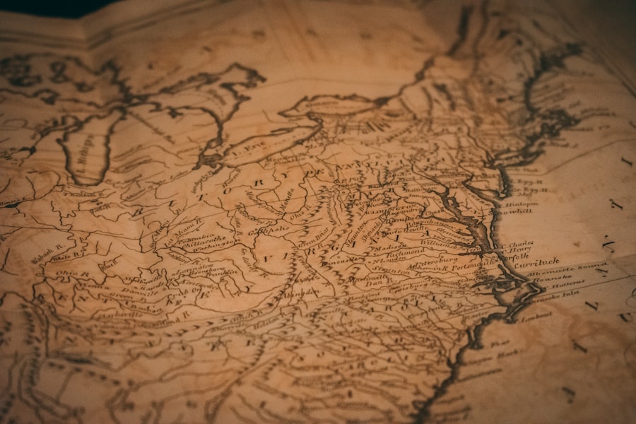
While traditional academic research continues to illuminate the past, contemporary technological advancements are revolutionizing the way historical landscapes are explored and understood. From the skies to sophisticated computational tools, new methods are uncovering hidden histories and reshaping our understanding of ancient civilizations.
Drone Mapping: Revealing Hidden Fortresses and Prehistoric Worlds
The advent of drone technology has opened up unprecedented possibilities for archaeological surveying and historical reconstruction. These agile and versatile tools can access remote and challenging terrains, providing aerial perspectives that were previously inaccessible, leading to remarkable discoveries.
Unearthing Ancient Fortifications in the Caucasus
The recent drone mapping project that unveiled a 3,000-year-old fortress in the Caucasus is a prime example of this technology’s transformative power. Such discoveries, facilitated by high-resolution aerial imagery, can dramatically alter our understanding of ancient settlements, military strategies, and the extent of early civilizations. The detailed topographical data generated by drones allows archaeologists to identify previously unknown structures and landscape features.
Mapping Australia Before Human Arrival
In a parallel development, drone mapping has been employed to create cartographic representations of Australia as it existed before human arrival. This innovative approach allows scientists and historians to reconstruct the pristine natural environment and understand the ecological conditions that early settlers would have encountered. Such detailed paleo-environmental mapping is crucial for understanding long-term landscape changes and biodiversity.
AI in Historical Cartography: A New Era of Interpretation
Artificial intelligence (AI) is rapidly becoming an indispensable tool in the historian’s arsenal, particularly in the complex realm of historical cartography. AI-driven platforms are moving beyond simple image generation to engage with historical data in ways that mimic “historian logic,” enabling deeper analysis and overcoming long-standing interpretative challenges.
Historica: Applying AI to Historical Mapping Challenges
Platforms like Historica exemplify this new wave of AI in historical cartography. By leveraging place data, sophisticated clustering algorithms, and deep learning techniques, these tools can analyze vast archives of historical maps, extract meaningful information, and build complex historical spatial models. This is particularly useful for overcoming linguistic barriers in multilingual historical documents and for identifying subtle patterns that might elude human observation.
Overcoming Linguistic Hurdles and Enhancing Visualization
One of the most significant contributions of AI to historical cartography is its ability to process and interpret text in multiple historical languages. This is crucial for deciphering place names, annotations, and legends on maps from different eras and cultures. Furthermore, AI can enhance the visualization of historical geographic data, allowing researchers to create dynamic and interactive maps that reveal temporal changes and spatial relationships with unprecedented clarity.
The Growth of OpenHistoricalMap: Collaborative Historical Cartography
The OpenHistoricalMap project represents a significant grassroots effort to democratize and expand the study of historical cartography. This collaborative platform fosters a community of users who contribute to a growing database of historical maps, making them accessible for research, education, and public exploration.
A Collaborative Platform for the Past
OpenHistoricalMap encourages contributions from individuals and institutions, allowing for the aggregation of a vast and diverse collection of historical cartographic materials. This collaborative model ensures that a wide range of maps, from official surveys to amateur sketches, are preserved and made available for study. The project functions as a living archive, constantly being updated and enriched by its community.
Engaging the Public with Historical Visualization
Beyond its academic utility, OpenHistoricalMap serves as a powerful tool for public engagement with history. By providing interactive maps and a user-friendly interface, it allows individuals to explore historical landscapes, trace the evolution of settlements, and gain a tangible understanding of how the world has changed over time. This accessibility democratizes historical knowledge and fosters a deeper appreciation for the role of maps in shaping our understanding of the past.
The Bram Map Prize: Recognizing Excellence in Cartographic Scholarship
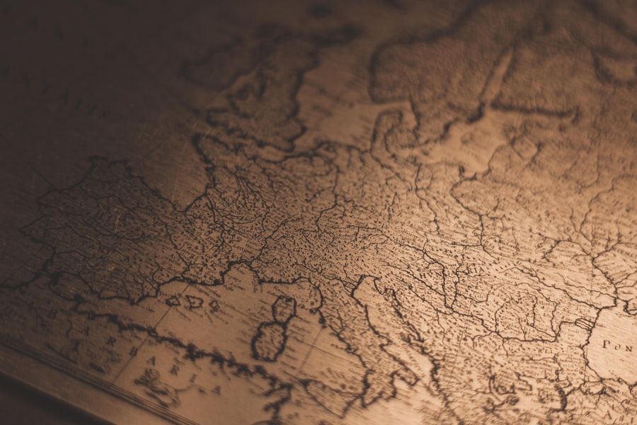
The annual Bram Map Prize, awarded by the Brussels Map Circle, serves to highlight outstanding contributions to the field of historical cartography. The recognition of innovative projects and meticulous scholarship underscores the continuing dynamism and intellectual rigor within the cartographic historical community.
The 2026 Laureates: Precision and Perspective
The announcement of the 2026 Bram Map Prize winners offers a glimpse into the cutting-edge research currently being conducted. These awards celebrate not only the rigorous application of historical methodology but also the creative use of contemporary tools and perspectives.
Catherine Porter: Locating Bench Marks, Preserving Heritage
Catherine Porter of the University of Limerick’s first-prize winning project, “Locating Bench Marks, Preserving Heritage,” exemplifies a hands-on, detail-oriented approach to historical mapping. By meticulously mapping and photographing Ordnance Survey bench marks in County Limerick, Porter’s work not only preserves valuable historical surveying data but also brings attention to the physical remnants of past infrastructure. These bench marks, often overlooked, are tangible links to the nineteenth-century efforts to standardize measurement and map the landscape with unprecedented accuracy. Her research highlights the intersection of cartographic history, industrial heritage, and local history, demonstrating the profound storytelling capacity of seemingly minor cartographic elements.
Honorary Mention: Processing Place, Redrawing Our World
The Honorary Mention awarded to Garrett Nelson, Ian Spangler, and Emily Bowe for “Processing Place: How Computers and Cartographers Redrew Our World” signals the growing importance of computational approaches in historical cartography. This project likely explores the profound impact of computing technologies on mapmaking and spatial analysis in the modern era. By examining how computers and cartographers have collaborated to redefine our understanding and representation of “place,” their work addresses the transformative digital shift in cartographic practice and its implications for historical interpretation. This recognition underscores the field’s embrace of interdisciplinary methods and its forward-looking perspective.
Maps have long served as vital tools for understanding the complexities of history, illustrating how geographical boundaries and cultural landscapes have evolved over time. For those interested in exploring this fascinating connection further, a related article can be found at My Geo Quest, which delves into the ways maps not only depict physical spaces but also reflect the socio-political dynamics that shape our world. By examining historical maps, we can gain insights into past civilizations and their interactions, making the study of cartography an essential aspect of historical inquiry.
Major Conferences: Global Hubs for Cartographic Discourse
| Map | Explanation | Historical Event |
|---|---|---|
| World Map | Shows the expansion of empires and trade routes | Ancient civilizations and the Silk Road |
| European Map | Illustrates the changing borders and alliances | World Wars and Cold War |
| Colonial Map | Depicts the impact of colonization on indigenous populations | Age of Exploration and Imperialism |
The calendar of major international conferences serves as a vital calendar for scholars and enthusiasts in the history of cartography. These gatherings provide essential platforms for the dissemination of new research, the exchange of ideas, and the fostering of collaborative networks.
2026: A Year of Global Cartographic Engagement
The year 2026 promises to be a vibrant period for the cartographic history community, with significant conferences scheduled in different corners of the globe. These events allow for in-depth discussion and the presentation of the latest findings.
SIAHC in Buenos Aires: Cartography of the Americas and Beyond
The SIAHC, held in Buenos Aires, Argentina, offers a crucial opportunity to focus on cartographic history within the context of South America and its global connections. Such regional conferences are invaluable for exploring the unique cartographic traditions and historical developments of specific areas, while also fostering dialogue with broader international scholarship. It allows for a deeper understanding of the colonial legacies, indigenous mapping practices, and evolving national identities reflected in the region’s maps.
ICHC in Prague: A Crossroads of European Cartographic Heritage
The ICHC in Prague, Czech Republic, is another cornerstone event for the history of cartography. Historically situated at a crossroads of European cultures and intellectual currents, Prague provides a fitting backdrop for discussions on the rich and diverse cartographic heritage of the continent. These major international congresses are where significant advancements are often announced, and where the future direction of the field is collectively shaped.
Global Panels and Workshops: Nurturing Specialized Interests
Beyond these major congresses, the planning of numerous panels and workshops globally throughout the year demonstrates the depth and breadth of specialized interests within the history of cartography. These smaller, focused gatherings allow for intimate discussions on niche topics, fostering in-depth exploration and the development of specialized knowledge within the broader field. They cater to specific research areas, such as the cartography of disease, historical urban mapping, or the representation of the sea.
In conclusion, the exploration of history through cartography is a dynamic and ever-evolving discipline. The recent developments in AI, drone mapping, collaborative platforms like OpenHistoricalMap, and the ongoing scholarly endeavors represented by Imago Mundi and the History of Cartography project, all point to a future where our understanding of the past, as depicted on maps, will continue to deepen and expand, revealing new narratives and connections across time and space. The Bram Map Prize and major conferences further underscore the vitality and collaborative spirit that drive this fascinating field forward.

Why Russia Can Never Feel Safe
FAQs
What is the purpose of using maps to explain history?
Using maps to explain history helps to visually illustrate the geographical context of historical events, movements, and changes over time. It provides a spatial understanding of how historical events unfolded and their impact on different regions.
How do maps help in understanding historical events?
Maps help in understanding historical events by showing the locations where events took place, the routes of historical movements, and the territorial changes that occurred over time. They provide a visual representation of historical context and help in analyzing the spatial relationships between different events.
What types of historical information can be depicted on maps?
Maps can depict a wide range of historical information, including the locations of battles, the expansion and contraction of empires, the migration patterns of people, the development of trade routes, the evolution of political boundaries, and the impact of historical events on the environment.
How have maps been used to explain historical events in the past?
Maps have been used to explain historical events in various ways, such as in textbooks, museum exhibits, documentaries, and academic research. They have also been used in educational settings to help students visualize and understand historical events and their geographical context.
What are the limitations of using maps to explain history?
While maps can provide valuable insights into historical events, they also have limitations. Maps may oversimplify complex historical processes, and they can sometimes reflect biases or inaccuracies in the way historical events are depicted. Additionally, maps may not always capture the full complexity of historical events, such as the social and cultural dynamics that shaped them.