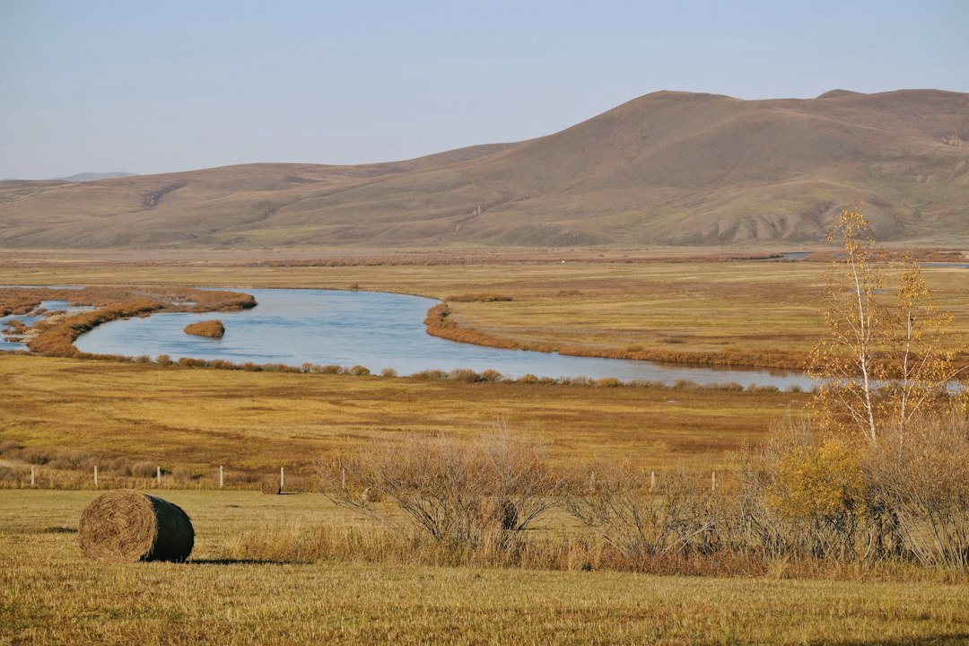
The ceaseless flow of water, a constant sculptor of the Earth’s surface, is responsible for some of the most dramatic and captivating landscapes on our planet. Among these, the sinuous, winding paths of rivers stand out. These aren’t static channels carved once and for all, but dynamic systems that continuously adjust their courses over geological timescales, and sometimes, with surprising speed. The phenomenon of river meandering, where a river develops a series of bends and loops, is a fundamental process in fluvial geomorphology, driven by a delicate interplay of water’s kinetic energy, sediment transport, and the very banks it erodes. Understanding how these massive rivers shift their paths unlocks a deeper appreciation for the powerful forces shaping our world and the intricate processes that govern the movement of water across continents.
The Fundamental Forces Driving River Movement
At its core, river meandering is a manifestation of the inherent instability of a straight watercourse. While a perfectly straight river might seem efficient, it is, in reality, a fleeting moment in its evolutionary history. The slightest deviation from a perfectly straight line initiates a feedback loop that amplifies the curvature, ultimately leading to the characteristic serpentine shape we observe. This process is not random; it is dictated by the fundamental physics of fluid dynamics and the erosional and depositional properties of the riverbed and banks.
The Role of Velocity Gradients
The key to understanding meandering lies in recognizing that water flow within a river channel is not uniform. While it might appear so to a casual observer, the velocity of the water varies significantly across the channel’s width and depth. This variation is not merely a secondary effect; it is the primary driver of channel alteration. In a straight channel, water flows fastest in the center, where it encounters the least resistance from the bed and banks. As the water moves towards the sides, friction with the channel boundaries slows it down. However, this idealized straight channel is rarely sustained in nature for long.
The presence of even a minor irregularity, such as a fallen log, a rock outcrop, or a slight variation in bank material, can disrupt this uniform flow. This disruption causes the fastest flow to shift slightly off-center. When the main current is directed towards one bank, it exerts greater erosive force on that side. This erosion widens the channel on that particular bank. Simultaneously, on the opposite side of the channel, where the flow is slower and less energetic, sediment that is being carried by the water begins to settle out. This deposition builds up the bank, effectively narrowing the channel on that side. This differential erosion and deposition creates a subtle but significant imbalance, initiating the process of curvature.
The Centrifugal Force and Secondary Flows
As a river begins to curve, a new force comes into play: centrifugal force. When a fluid flows around a bend, it experiences an outward-pushing force, much like a car going around a corner. This centrifugal force pushes the water towards the outer bank of the bend. This further exacerbates the erosion on the outer bank, as the faster-moving water is now concentrated there. The increased velocity and the direct impact of the water column against the bank lead to accelerated erosion.
Crucially, the interaction of the centrifugal force with the existing velocity gradients within the channel sets up what are known as secondary flows. These are circulation patterns within the river’s cross-section. On the outer bank, the accelerated flow, driven by the centrifugal force, creates a downward and inward movement of water. This water then travels along the riverbed towards the inner bank. Upon reaching the inner bank, it rises and moves outwards towards the surface, completing the circulation. This secondary flow pattern is instrumental in transporting eroded sediment from the outer bank downstream and depositing it on the inner bank. The deposition on the inner bank, a consequence of the slower flow velocity at that side, further accentuates the bend, effectively pushing the river’s course further away from the straighter path. This continuous process of erosion on the outer bank and deposition on the inner bank is the fundamental mechanism by which a river develops and amplifies its meanders.
Massive rivers have a remarkable ability to change their paths over time due to various natural processes such as erosion, sediment deposition, and shifting tectonic plates. This phenomenon is not only fascinating but also crucial for understanding the ecological and geological dynamics of river systems. For a deeper insight into how these mighty waterways alter their courses and the implications of such changes, you can read the article on this topic at My Geo Quest.
The Lifecycle of a Meander Loop

River meanders are not static features; they are born, they grow, and they eventually evolve to the point of detachment. This dynamic lifecycle is a testament to the constant struggle between the river’s erosive power and the stability of its banks. Each meander loop has its own story, marked by distinct stages of development.
Formation and Initial Development
The genesis of a meander often begins with seemingly minor irregularities in the river channel. These irregularities can be caused by variations in the underlying geology, the presence of resistant or easily erodible material along the banks, or even anthropogenic influences. Once a slight deviation from a straight path occurs, the differential velocity effects begin to take hold. The faster water scours the outer bank, and the slower water deposits sediment on the inner bank. This initial erosion and deposition are subtle, but they are the seeds from which a meander will grow.
As the bend becomes more pronounced, the centrifugal force plays an increasingly important role. The water on the outer bank is pushed harder against the bank, leading to more significant erosion. Conversely, the inner bank experiences more substantial deposition. This positive feedback loop causes the meander to become more pronounced over time. The river doesn’t just bend; it actively carves out a larger, more pronounced curve. The neck of the developing bend thins, and the river’s path deviates further and further from its original trajectory. This is the stage where a gentle curve starts to transform into a distinct loop.
Growth and Amplification of Curses
The growth phase of a meander is characterized by the continuous amplification of its curvature. The outer bank of the bend is relentlessly eroded, often forming steep cliffs, while the inner bank, known as a point bar, is steadily built up by deposition. The point bar is a characteristic feature of meanders, composed of sand and gravel that the river has transported. Over time, vegetation may colonize the point bar, further stabilizing the deposited sediment and contributing to the landform’s growth.
The extent of erosion and deposition is directly related to the flow velocity and the sediment load of the river. Rivers with higher flow rates and larger sediment loads tend to develop more pronounced and rapidly evolving meanders. The shape of the meander also influences the flow. The tighter the bend, the greater the centrifugal force, and the more intense the erosion on the outer bank. This dynamic interaction between the river’s morphology and its flow dynamics ensures that the meander continues to grow and deepen, pushing the river’s course further from its previous path. The river essentially “chases” its own tail, its path becoming increasingly convoluted.
Massive rivers have a fascinating ability to change their paths over time, influenced by factors such as sediment deposition, erosion, and human intervention. This dynamic process can reshape landscapes and ecosystems, often leading to significant environmental impacts. For a deeper understanding of how these mighty waterways evolve, you can explore a related article that delves into the intricacies of river dynamics and their implications on surrounding areas. To read more about this captivating subject, visit this article.
Cutoffs and Oxbow Lake Formation
The culmination of the meander lifecycle is the cutoff, a dramatic event that can dramatically alter a river’s course. As a meander loop grows and the neck of land between two adjacent bends becomes increasingly narrow, the river’s path becomes longer and less efficient. Eventually, during periods of high flow, such as floods, the river may find a shorter, more direct route across the narrow neck of land. This breach is known as a cutoff.
Once a cutoff occurs, the majority of the river’s flow is diverted into the new, straighter channel. The abandoned meander loop, no longer fed by the main current, becomes isolated. The water within the loop gradually stagnates, and sediment deposition begins to seal off the former entrances. Over time, this isolated loop is transformed into an oxbow lake, a crescent-shaped body of water that is a ghostly remnant of the river’s former path. These oxbow lakes are ephemeral features, eventually filling in with sediment and becoming part of the floodplain. The formation of oxbow lakes is a powerful indicator of past river activity and a clear demonstration of how rivers reshape the landscape.
Factors Influencing Meander Dynamics

While the fundamental principles of velocity gradients and centrifugal forces are universal to river meandering, a variety of other factors can influence the rate and style of these changes. The composition of the riverbanks, the volume and type of sediment being transported, and the overall gradient of the riverbed all play significant roles in shaping the dynamic behavior of these watery arteries.
Bank Material and Resistance
The material that makes up the riverbanks is a crucial determinant of how easily a river can erode and therefore meander. Easily erodible materials, such as unconsolidated sand and silt, allow for rapid bank collapse and consequently, faster meander development. Rivers flowing through soft alluvial plains often exhibit highly sinuous courses and rapid changes. In contrast, rivers with banks composed of more resistant materials, such as clay, gravel, or bedrock, will meander much more slowly, or in some cases, may not meander significantly at all.
The vegetation cover on the banks also plays a vital role. Plant roots help to bind the soil together, increasing its resistance to erosion. Therefore, rivers flowing through vegetated areas tend to have more stable banks and develop meanders at a slower pace than those in sparsely vegetated regions. Human interventions, such as riprap lining or concrete walls, can artificially stabilize riverbanks and significantly inhibit or prevent meandering. Conversely, deforestation or the removal of vegetation can accelerate bank erosion and promote more rapid meander development.
Sediment Load and Size Distribution
The amount and type of sediment a river carries are directly linked to its erosive and depositional capabilities, and thus, its meandering behavior. A river with a high sediment load, particularly of fine sand and silt, has more material available to be transported and deposited, facilitating the formation of point bars and the widening of outer banks. This increased sediment mobility leads to more dynamic meandering.
The size of the sediment particles also influences the process. Coarser sediments, like gravel and pebbles, can cause more abrasive erosion on the outer banks, while finer sediments are more readily deposited on the inner banks. The distribution of sediment sizes within the riverbed and banks can create localized zones of higher or lower erodibility, influencing the pattern of meander development. Rivers in arid or semi-arid regions, which often experience flash floods with high sediment loads, can exhibit particularly rapid and dramatic changes in their courses.
River Gradient and Discharge
The slope of the riverbed, or gradient, plays a significant role in determining the flow velocity and thus, the erosive power of the water. Rivers with steeper gradients generally have faster-flowing water, leading to more intense erosion and the potential for more pronounced and faster meanders, especially in the upper reaches of a river system. As a river flows downstream, its gradient typically decreases, and its discharge (the volume of water flowing per unit time) increases. In flatter, lower-gradient areas, rivers tend to develop wider and more extensive floodplains, and their meanders can become much larger and more sinuous.
The discharge of a river is also a critical factor. During periods of high discharge, such as during floods, the increased flow volume and velocity significantly enhance the river’s erosive power, accelerating bank erosion and promoting channel avulsion (the sudden abandonment of an old channel in favor of a new one). The interplay between gradient and discharge creates a complex system where meandering rates can vary considerably along the length of a single river and across different river systems.
The Impact of Meandering Rivers on Landscapes and Life
The dynamic nature of meandering rivers has profound implications for the landscapes they traverse and the ecosystems they support. The continuous reshaping of river channels influences floodplain formation, creates diverse aquatic habitats, and dictates patterns of human settlement and land use.
Floodplain Formation and Evolution
The process of meandering is intrinsically linked to the formation and evolution of floodplains. As a river erodes its outer banks and deposits sediment on its inner banks, it gradually migrates across its valley. This lateral migration, over geological timescales, builds up a broad, flat area adjacent to the river channel – the floodplain. The sediment deposited on the inner banks, the point bars, eventually become part of the floodplain. When the river overflows its banks during floods, it deposits a layer of nutrient-rich sediment, further enriching the floodplain.
The creation of oxbow lakes through meander cutoffs also contributes to the complexity and diversity of the floodplain landscape. These abandoned channels can become important wetland habitats, supporting unique flora and fauna. The continuous process of erosion and deposition ensures that floodplains are dynamic environments, constantly being reshaped by the river’s activity. This dynamic nature makes floodplains fertile agricultural lands but also renders them vulnerable to the destructive power of floods.
Habitat Creation and Biodiversity
Meandering rivers are not just geological features; they are vital ecological engines. The constantly shifting channels and the formation of oxbow lakes create a mosaic of aquatic and terrestrial habitats that support a rich diversity of life. The varying flow speeds and depths within meander loops provide niches for different species of fish, invertebrates, and aquatic plants. The point bars, with their emergent vegetation, offer nesting sites for birds and habitats for terrestrial animals.
The formation of oxbow lakes, as they evolve from open water to marshland and eventually to terrestrial environments, provides a succession of habitats that can support a wide range of species. The erosion of outer banks can create undercutting and overhangs that provide shelter for aquatic organisms. The deposition of sediment, particularly during floods, replenishes nutrient cycles and supports the productivity of the entire ecosystem. Meandering rivers are thus crucial for maintaining biodiversity in many regions.
Human Interaction and River Management
Throughout history, human civilizations have been drawn to the fertile floodplains created by meandering rivers. Rivers have provided water for agriculture, transportation routes, and sources of food. However, the dynamic nature of these rivers also presents significant challenges. The unpredictable nature of floods and the tendency of rivers to change course have historically led to displacement and destruction for human settlements.
In modern times, extensive efforts are made to manage and control meandering rivers, particularly in densely populated areas. This often involves channelization, where the river is straightened to reduce flood risk and facilitate navigation. However, these interventions can have unintended ecological consequences, such as reducing habitat diversity and increasing erosion downstream. Increasingly, there is a recognition of the importance of working with, rather than against, the natural processes of meandering rivers, adopting more sustainable approaches to river management that balance human needs with ecological considerations. Understanding the science behind river meandering is essential for making informed decisions about how we interact with these vital natural systems.
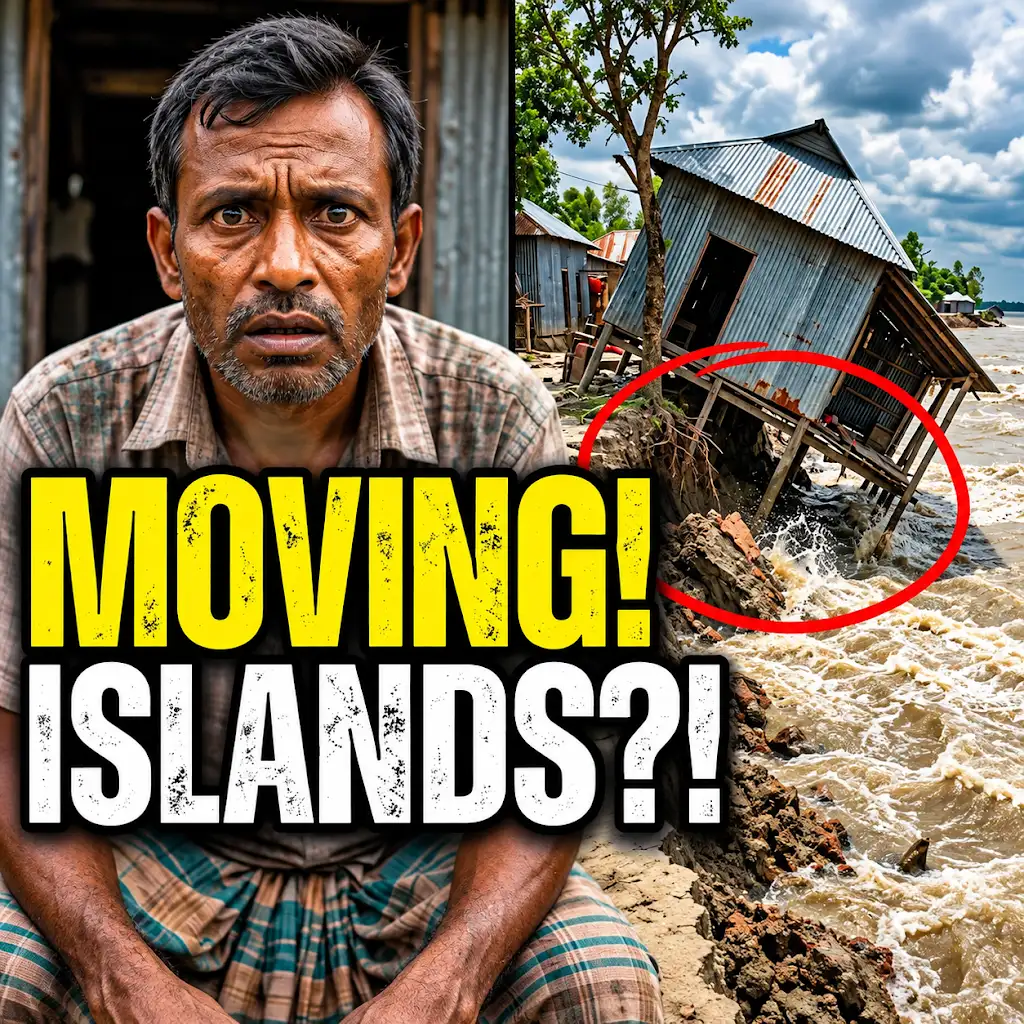
This River is Literally Erasing Islands
FAQs
How do massive rivers change their paths?
Massive rivers can change their paths through a process called avulsion, where the river suddenly shifts its course due to various factors such as erosion, sediment deposition, or tectonic activity.
What are some common causes of rivers changing their paths?
Common causes of rivers changing their paths include natural events like floods, landslides, earthquakes, and volcanic eruptions, as well as human activities such as dam construction, deforestation, and urban development.
Can human intervention influence the path of a massive river?
Yes, human intervention can significantly influence the path of a massive river through activities like dam construction, channelization, dredging, and levee building, which can alter the natural flow and course of the river.
How long does it typically take for a massive river to change its path?
The time it takes for a massive river to change its path can vary widely depending on the specific circumstances, but it can range from a few years to several decades or even centuries for significant changes to occur.
What are the potential impacts of a massive river changing its path?
The potential impacts of a massive river changing its path can include flooding in new areas, loss of habitat for wildlife, changes in water quality and availability, disruption of human settlements and infrastructure, and alterations to the surrounding landscape and ecosystems.