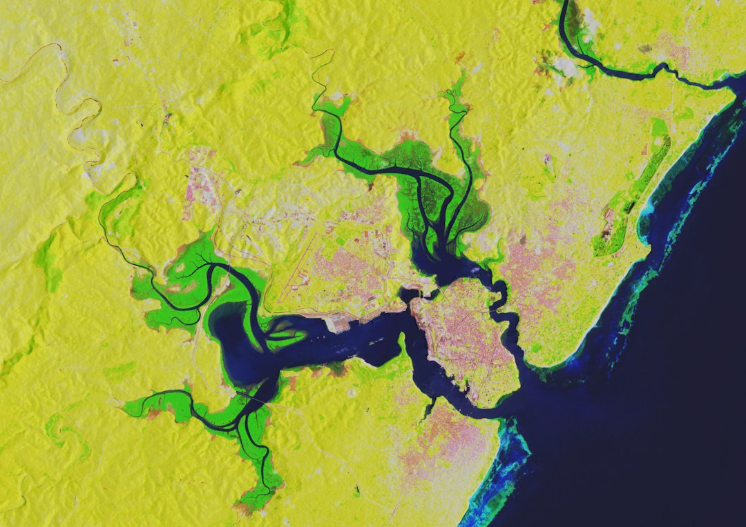
The slow, inexorable creep of a river might not possess the dramatic spectacle of an earthquake or a volcanic eruption, but its geological impact is profound, often reshaping the very fabric of our world. Rivers are dynamic entities, constantly in motion, and their shifting courses have historically dictated the flow of human civilization, influencing settlement patterns, trade routes, and even the very definition of national and regional borders. Understanding how changing river channels reshape maps and alter boundaries requires delving into the complex interplay of hydrology, geology, and human history.
The Nature of River Dynamics
Rivers are not static arteries; they are living systems shaped by a multitude of forces. Their behavior is a delicate balance between the force of gravity, the volume of water they carry, the composition of the land they traverse, and the passage of time. Over geological timescales, these forces conspire to alter a river’s path in ways that can be imperceptible to the casual observer but are fundamentally transformative to the landscape.
Erosion and Deposition: The Sculptors of the Riverbed
At the heart of river channel change lies the ceaseless processes of erosion and deposition. Water, especially when carrying sediment, is a powerful erosive agent. As a river flows, it wears away at its banks and bed. The force of the current, the abrasive nature of the sediment load, and the type of rock or soil encountered all contribute to the rate and nature of erosion. Fast-flowing water in mountainous regions, for instance, tends to carve deep, narrow valleys, while slower, wider rivers in flatter terrain are more prone to lateral erosion, widening their floodplains.
Deposition, the counterpart to erosion, occurs when the river’s energy decreases, causing it to drop the sediment it carries. This happens most often during floods when the water spreads out over a wide area, losing velocity. Sediment is also deposited in gentler bends of a river or where the river enters a larger body of water, forming deltas. These depositional processes build up new landforms and subtly alter the river’s course. Over time, the cumulative effect of erosion on one side of a river and deposition on the other leads to meanders – the characteristic sinuous curves seen in many river systems.
Meandering Rivers: A Natural Tendency
The tendency of rivers to meander is a fundamental aspect of their dynamic nature. As water flows around a bend, the outer bank experiences faster flow and therefore greater erosion, while the inner bank, with slower flow, sees increased deposition. This differential erosion and deposition causes the meander to grow larger and more pronounced. Over time, these growing meanders can become so exaggerated that the river eventually cuts across a narrow neck of land, creating a new, straighter channel and abandoning the old, curved segment. This abandoned channel often becomes an oxbow lake, a crescent-shaped body of water that gradually silts up and disappears. This process of meander cutoff is a direct cause of dramatic channel shifts.
Avulsion: The Abrupt Shift of Course
While meander migration is a gradual process, rivers can also change their course more abruptly through a phenomenon known as avulsion. Avulsion occurs when a river abandons its existing channel and establishes a new one, often due to a major flood event that overpowers the existing levees or carves a new, shorter path. This can happen when the river builds up its bed and floodplain to the point where the water level during a flood is higher than the surrounding terrain, allowing it to spill over and find a new, lower-lying path. Such events can be sudden and catastrophic, dramatically altering the local landscape and potentially impacting human settlements and infrastructure.
The dynamic nature of river channels significantly influences the way maps are created and updated, as highlighted in the article on this topic. As rivers shift their courses due to natural processes such as erosion and sediment deposition, cartographers must adapt their representations to reflect these changes accurately. For a deeper understanding of how these transformations occur and their implications for mapping, you can read more in the article available at this link.
The Imprint on Maps: Visualizing Change

Maps, the graphical representations of our world, are essentially snapshots in time. They are created based on the best available knowledge at the time of their compilation, but the dynamic nature of rivers means that maps are inevitably subject to becoming outdated. The visible evidence of river channel change on maps can range from subtle discrepancies to entire landscapes being redefined.
Historical Cartography and River Evolution
The study of historical maps provides a fascinating window into how river courses have evolved. Early maps, often drawn with limited surveying technology, might depict a river in a location that is now significantly different. As cartographic techniques improved and more detailed surveys were conducted, subsequent maps would reflect these changes. Comparing maps from different eras can reveal the gradual migration of meanders, the formation of oxbow lakes, and even instances of avulsion that have drastically altered a river’s perceived path. These historical records are invaluable for geologists and geographers studying river dynamics and for historians seeking to understand past human-environment interactions.
Modern Mapping Technologies and Persistent Rivers
Modern mapping technologies, such as satellite imagery, aerial photography, and Geographic Information Systems (GIS), offer unprecedented detail and accuracy in depicting river channels. These tools allow for the precise tracking of river movement over time. However, even with these advanced technologies, the underlying geological processes continue. Satellite imagery from different years will show the subtle or sometimes dramatic shifts in a river’s course. GIS allows for the overlaying of historical maps with current data, clearly highlighting discrepancies and illustrating the ongoing evolution of river systems. While technology can map these changes with precision, it cannot halt the natural processes that drive them.
Boundaries Redrawn: The Geopolitical Impact

Perhaps the most significant impact of changing river channels on human affairs is their role in defining and altering political boundaries. Rivers have historically served as natural borders between regions, states, and nations. When a river shifts its course, it can lead to complex legal and political disputes, as the established boundary no longer accurately reflects the physical reality.
Rivers as Natural Borders: A Historical Convention
From ancient times, rivers have been recognized as convenient and often formidable natural barriers. They provided a clear line of demarcation and, for many periods of history, a deterrent to invasion. This led to numerous treaties and agreements that designated specific rivers, or certain points within them, as international or inter-regional borders. The concept of a boundary following the thalweg – the line of deepest channel – or the centerline of a river became a common practice in cartography and international law.
The Thalweg Principle and Boundary Disputes
The thalweg principle is a crucial concept in international law regarding river boundaries. It stipulates that the boundary lies along the thalweg of the river, meaning the line of the deepest channel. This principle is intended to provide a stable and equitable division of territory, but it inherently acknowledges the dynamic nature of rivers. As a river erodes and deposits sediment, its thalweg can shift. If the shift is gradual and the river remains within its historical channel (a process known as accretion), the boundary generally follows the new thalweg. However, if the river undergoes a sudden avulsion or a significant cutoff that creates a new channel while leaving the old one dry, disputes can arise. The old channel might be considered the former boundary, or the new channel might become the de facto border. These situations often lead to prolonged negotiations and potential conflicts.
Avulsion and the Challenge to Sovereignty
Avulsive events present a particularly acute challenge to established boundaries. If a river forming a border suddenly shifts its entire course, the land on the former riverbed might now be on the “wrong” side of the new border. This can create enclaves of territory that are legally part of one nation but physically located within the other. Resolving such disputes requires careful consideration of historical agreements, the intent of the original boundary setters, and the practical realities on the ground. International tribunals and diplomatic negotiations are often employed to adjudicate these complex cases, with outcomes that can involve territorial adjustments, shared usage agreements, or the establishment of new, artificial boundaries to reflect the altered river course. The Mississippi River’s shifting course in North America, for example, has led to numerous instances where land historically considered part of one state or country has, over time, ended up on the other side of the river.
Impact on Human Settlements and Infrastructure
Beyond political boundaries, changing river channels have a profound and often disruptive impact on human settlements, agriculture, and vital infrastructure. The predictability of a river’s course is a cornerstone of planning for many human activities.
Agricultural Lands and Floodplains
Rivers are the lifeblood of agriculture, providing water for irrigation and depositing fertile silt on floodplains. However, a shifting river course can be both a boon and a bane. While deposition can create new fertile land, erosion can claim existing farmland. Floods, which are inherently linked to river dynamics, can inundate fields, destroying crops and damaging soil. If a river avulses and abandons its former floodplain, the land that was once prime agricultural territory can become dry and infertile, requiring extensive adaptation or abandonment. Conversely, a river shifting closer to previously unwatered land can open up new possibilities for cultivation.
Navigational Waterways and Trade Routes
Many of the world’s most important trade routes have historically followed rivers. Their navigability has facilitated the movement of goods and people for centuries. Changes in river channels, particularly sedimentation or the formation of new sandbars, can render formerly navigable sections impassable, disrupting established trade networks. Conversely, dredging and channelization efforts are often undertaken to maintain or improve navigability in the face of natural changes. The decision to invest in such infrastructure is often influenced by the long-term prognosis of the river’s behavior, a prediction that itself is based on understanding its dynamic nature.
Infrastructure Vulnerability: Bridges, Dams, and Settlements
Bridges, dams, pipelines, and entire settlements are often built with specific river locations in mind. The shifting of a river can directly threaten these structures. A bridge built across a stable section of a river can become vulnerable if erosion undermines its foundations or if the river widens dramatically. Dams, designed to harness the river’s power, can be affected by changes in water flow and sedimentation patterns. Settlements located on riverbanks can be gradually eroded away or face sudden devastation during avulsive floods. The need for ongoing monitoring and adaptive engineering is paramount in regions with dynamic river systems.
The dynamic nature of river channels plays a significant role in reshaping geographical maps, as evidenced by various studies and articles on the topic. For a deeper understanding of how these changes occur and their implications for cartography, you can explore a related article on this subject. The article discusses the intricate processes involved in river migration and sediment deposition, which ultimately lead to alterations in map representations. To learn more about this fascinating topic, visit this link.
Understanding and Adapting to Riverine Change
| Metric | Description | Impact on Maps | Example |
|---|---|---|---|
| Channel Migration Rate | Speed at which a river channel shifts laterally over time (meters/year) | Requires frequent map updates to reflect new river boundaries | Mississippi River migrates up to 100 m/year in some sections |
| Meander Cutoff Frequency | Number of times a river creates a new channel by cutting off a meander bend per decade | Alters river course and adjacent land features on maps | Amazon River experiences several cutoffs every 10 years |
| Channel Width Variation | Change in river channel width due to erosion or sediment deposition (meters) | Changes scale and detail needed for accurate river representation | Yangtze River width varies by up to 500 m seasonally |
| Floodplain Expansion Rate | Rate at which floodplains grow due to sediment deposition (square km/year) | Maps must update land use and flood risk zones accordingly | Ganges floodplain expands approximately 0.2 km²/year |
| Avulsion Events | Number of times a river abruptly changes course in a given period | Significant map revisions needed to reflect new river paths | Yellow River has experienced multiple avulsions in last century |
Given the persistent nature of river channel change, understanding and adapting to these dynamics is crucial for both environmental sustainability and human resilience. This involves a combination of scientific study, historical analysis, and proactive planning.
Hydrogeological Research and Predictive Modeling
Scientists employ a range of techniques to study river behavior, from field observations and sediment sampling to sophisticated computer modeling. By analyzing historical data, geological formations, and current hydrological conditions, researchers can develop models that predict the future evolution of river channels. These models help anticipate areas prone to erosion, potential avulsion points, and the likely trajectory of meander migration. This knowledge is invaluable for land-use planning, infrastructure development, and disaster preparedness.
Historical Context and Indigenous Knowledge
Understanding the historical context of river use and settlement is essential for comprehending current challenges. Indigenous communities, often possessing generations of intimate knowledge about their local river systems, can offer invaluable insights into past river behavior and effective adaptation strategies. Incorporating this traditional ecological knowledge with modern scientific approaches provides a more holistic understanding of river dynamics and fosters more sustainable land management practices.
Adaptive Planning and Engineering Solutions
The most effective approach to dealing with changing river channels is proactive, adaptive planning. This involves developing flexible infrastructure designs, implementing land-use zoning that accounts for potential river shifts, and establishing robust early warning systems for floods and channel changes. Engineering solutions, such as the construction of levees, revetments, and sediment management structures, can help stabilize channels and protect vulnerable areas. However, these interventions must be carefully considered in the context of the wider river system to avoid unintended consequences elsewhere. Ultimately, recognizing that rivers are not static but are constantly evolving entities is the first and most critical step in learning to coexist with their transformative power. The maps and boundaries we rely on are, in essence, living documents, perpetually subject to revision by the water’s relentless journey.
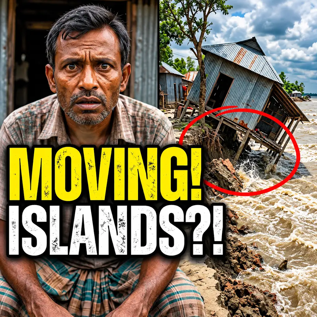
This River is Literally Erasing Islands
FAQs
How do changing river channels reshape maps?
Changing river channels reshape maps by altering the course of the river, which in turn affects the surrounding landscape and geographic features. This can lead to changes in the shape and size of bodies of water, as well as the overall topography of the area.
What factors contribute to the shifting of river channels?
Factors such as erosion, sediment deposition, human activities like dam construction, and natural events like floods can all contribute to the shifting of river channels. These processes can cause the river to meander, change direction, or even create new channels.
How do cartographers account for changing river channels when creating maps?
Cartographers use various techniques such as aerial surveys, satellite imagery, and GPS technology to monitor and track changes in river channels over time. They update maps regularly to reflect these changes and ensure accuracy in depicting the current geography.
What are some potential consequences of not updating maps to reflect changing river channels?
Not updating maps to reflect changing river channels can lead to inaccuracies in navigation, land use planning, and disaster preparedness. It can result in outdated information that may mislead individuals and authorities, potentially causing safety hazards and economic losses.
How can understanding the impact of changing river channels benefit communities and the environment?
Understanding the impact of changing river channels can help communities better prepare for natural disasters like floods, improve water resource management, and protect ecosystems. It allows for informed decision-making regarding land use, infrastructure development, and conservation efforts.