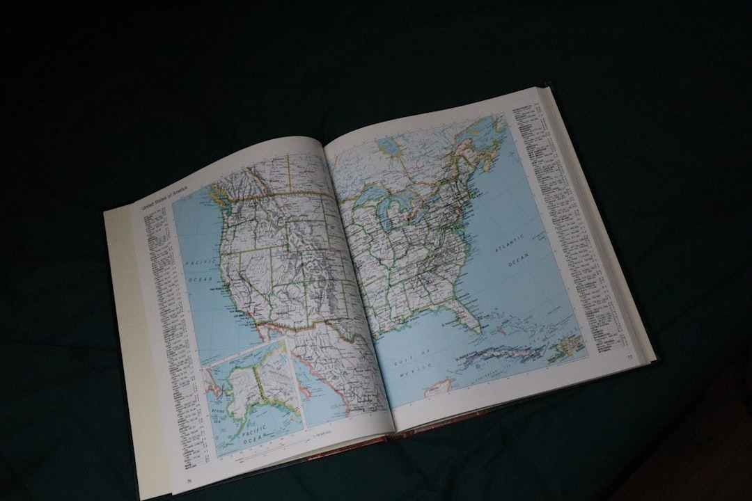
The belief that the Earth is flat has persisted through centuries, despite overwhelming scientific evidence to the contrary. Proponents of this theory argue that the horizon appears flat when viewed from ground level, and they often cite personal observations as proof. They claim that if the Earth were truly a sphere, one would expect to see a curvature at a distance, yet they assert that the landscape remains consistently level.
This perspective has gained traction in certain circles, fueled by social media and a growing distrust of established scientific institutions. Flat Earth advocates often challenge the validity of photographs taken from space, suggesting that they are fabricated or manipulated. They argue that the images presented by space agencies are part of a larger conspiracy to maintain control over public perception.
This skepticism towards scientific authority has led to a community that thrives on alternative explanations for natural phenomena, reinforcing their beliefs through selective interpretation of evidence. Despite the wealth of data supporting a spherical Earth, including satellite imagery and the principles of physics, the flat Earth theory continues to captivate a segment of the population.
Key Takeaways
- The Earth is not flat, but rather an oblate spheroid, meaning it is slightly flattened at the poles and bulging at the equator.
- The Great Wall of China is not visible from space with the naked eye, contrary to popular belief.
- The Nile River is the longest river in the world, stretching over 4,135 miles in length.
- The Sahara Desert is the largest hot desert in the world, covering an area of over 3.6 million square miles.
- There are seven continents on Earth: Africa, Antarctica, Asia, Europe, North America, Australia, and South America.
- Mount Everest is the tallest mountain in the world, standing at 29,029 feet above sea level.
- The Prime Meridian and the International Date Line are imaginary lines that mark 0 degrees longitude and the change in calendar date, respectively.
- The North Pole is located at the northernmost point of the Earth, while the South Pole is at the southernmost point.
- The Ring of Fire is a horseshoe-shaped area in the Pacific Ocean known for its frequent earthquakes and volcanic activity.
- The Amazon Rainforest is often referred to as the “Lungs of the Earth” due to its production of 20% of the world’s oxygen.
- The Bermuda Triangle is a loosely defined region in the western part of the North Atlantic Ocean where numerous aircraft and ships are said to have disappeared under mysterious circumstances.
The Great Wall of China is Visible from Space
The notion that the Great Wall of China is visible from space is a popular myth that has been perpetuated for decades. Many people believe that this monumental structure, which stretches over 13,000 miles, can be seen with the naked eye from low Earth orbit. However, astronauts and space experts have consistently debunked this claim, stating that the wall blends into the surrounding landscape and is often indistinguishable from other natural features.
The colors and materials used in its construction make it difficult to discern from such great distances. In reality, visibility from space depends on various factors, including atmospheric conditions and the observer’s altitude. While some man-made structures can be seen from space under ideal conditions, the Great Wall does not stand out as prominently as many assume.
This misconception highlights the human tendency to exaggerate the significance of cultural landmarks, transforming them into symbols of national pride. The Great Wall remains an impressive feat of engineering and a testament to human perseverance, but its visibility from space is more myth than reality.
The Nile River is the Longest River in the World

The Nile River has long been celebrated as the longest river in the world, winding its way through eleven countries in northeastern Africa before emptying into the Mediterranean Sea. Spanning approximately 4,135 miles, it has played a crucial role in the development of ancient civilizations along its banks. The river’s annual flooding provided fertile soil for agriculture, enabling societies to thrive in an otherwise arid region.
Its historical significance cannot be overstated, as it served as a lifeline for communities and a conduit for trade and transportation. However, recent debates have emerged regarding whether the Nile truly holds the title of the longest river. Some researchers argue that the Amazon River may surpass it in length when measured from its most distant source to its mouth.
This contention has sparked interest in river measurement methodologies and definitions of what constitutes a river’s length.
Their importance extends beyond mere measurements; they are integral to the cultures and economies of their respective regions.
The Sahara Desert is the Largest Desert in the World
| Fact | Details |
|---|---|
| Location | Africa |
| Area | 9.2 million square kilometers |
| Climate | Hot and dry |
| Temperature | Can reach up to 58°C (136°F) |
| Flora and Fauna | Minimal vegetation and animal life |
The Sahara Desert is often recognized as the largest hot desert in the world, covering an area of approximately 3.
Its vast expanse includes diverse landscapes, from towering sand dunes to rocky plateaus and gravel plains. The Sahara’s climate is characterized by extreme temperatures and minimal rainfall, creating an environment that challenges both flora and fauna to adapt for survival.
Despite its harsh conditions, the desert is home to a variety of species uniquely suited to thrive in such an arid landscape. While the Sahara holds the title for being the largest hot desert, it is essential to note that Antarctica is technically the largest desert overall due to its low precipitation levels. This distinction highlights how deserts can be classified based on their climatic conditions rather than temperature alone.
The Sahara’s cultural significance is profound; it has been a crossroads for trade and migration for centuries, shaping the history and identity of numerous communities. Its breathtaking landscapes continue to attract adventurers and researchers alike, eager to explore its mysteries.
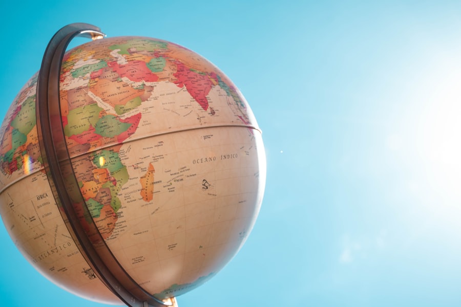
The Seven Continents
The concept of seven continents—Asia, Africa, North America, South America, Antarctica, Europe, and Australia—has become a widely accepted framework for understanding Earth’s geography. Each continent boasts unique characteristics, cultures, and ecosystems that contribute to the planet’s diversity. Asia stands out as the largest continent both in size and population, while Africa is renowned for its rich biodiversity and cultural heritage.
North and South America are often studied together due to their shared history and geographical proximity. However, this classification system is not universally agreed upon; some cultures recognize different numbers of continents based on historical or geographical perspectives. For instance, some educational systems combine Europe and Asia into a single entity known as Eurasia.
This variation underscores how geography can be interpreted differently across cultures and contexts. Regardless of how one defines continents, their significance in shaping human civilization and natural ecosystems remains undeniable.
The Tallest Mountain in the World
Mount Everest is widely recognized as the tallest mountain in the world, standing at an impressive height of 29,032 feet above sea level. Located in the Himalayas on the border between Nepal and Tibet, Everest has become a symbol of human endurance and ambition. Climbing this formidable peak presents numerous challenges due to extreme weather conditions, altitude sickness, and treacherous terrain.
Despite these obstacles, thousands of climbers attempt to reach its summit each year, drawn by the allure of conquering nature’s highest point. The mountain’s prominence has also sparked discussions about how height is measured and what constitutes a mountain’s true elevation. Some argue that if measured from its base on the ocean floor, Mauna Kea in Hawaii would surpass Everest in height.
This debate highlights how geographical features can be perceived differently depending on measurement criteria. Regardless of these discussions, Mount Everest remains an iconic landmark that continues to inspire adventurers and mountaineers worldwide.
The Prime Meridian and the International Date Line
The Prime Meridian serves as a crucial reference point for global navigation and timekeeping, dividing the Earth into Eastern and Western Hemispheres. Established at 0 degrees longitude in Greenwich, England, it plays a vital role in determining time zones around the world. The concept of standard time emerged from this meridian, allowing for synchronized schedules across different regions.
As such, it has become an essential element in global communication and travel. Conversely, the International Date Line serves as an imaginary boundary where one calendar day transitions into another. Located approximately along the 180-degree longitude line in the Pacific Ocean, it allows for a systematic approach to timekeeping across various time zones.
Travelers crossing this line may experience a sudden shift in time—either gaining or losing a day—depending on their direction of travel. Together, these two lines illustrate humanity’s efforts to impose order on time and space in an increasingly interconnected world.
The North and South Poles
The North and South Poles represent two extremes of Earth’s geography, each with distinct characteristics and ecosystems. The North Pole is situated in the Arctic Ocean and is characterized by floating sea ice surrounded by water. In contrast, the South Pole lies on the continent of Antarctica, which is covered by a thick ice sheet that holds about 60% of Earth’s fresh water.
Both poles experience extreme weather conditions with long periods of darkness during winter months and continuous daylight during summer. These polar regions are not only significant for their unique environments but also play critical roles in global climate regulation. The melting ice caps due to climate change have raised concerns about rising sea levels and their potential impact on coastal communities worldwide.
Additionally, both poles serve as vital research sites for scientists studying climate patterns, wildlife adaptation, and glaciology. As humanity grapples with environmental challenges, understanding these remote regions becomes increasingly important.
The Ring of Fire
The Ring of Fire is a horseshoe-shaped zone encircling the Pacific Ocean known for its high levels of seismic activity and volcanic eruptions. This region is home to approximately 75% of the world’s active volcanoes and experiences frequent earthquakes due to tectonic plate movements along its boundaries. Countries such as Japan, Indonesia, and Chile are situated within this ring and have developed extensive disaster preparedness measures to mitigate risks associated with natural disasters.
The geological processes occurring within the Ring of Fire are fascinating; they result from subduction zones where one tectonic plate moves beneath another. This dynamic interaction leads to volcanic activity as magma rises to the surface through fissures in the Earth’s crust. While these events can be destructive, they also contribute to creating new landforms and enriching soil fertility in surrounding areas.
Understanding this geological phenomenon is crucial for predicting natural disasters and studying Earth’s geological history.
The Amazon Rainforest as the “Lungs of the Earth”
The Amazon Rainforest is often referred to as the “lungs of the Earth” due to its vast capacity for producing oxygen through photosynthesis while absorbing carbon dioxide from the atmosphere. Spanning over 2 million square miles across several South American countries, it houses an unparalleled diversity of plant and animal species—many of which remain undiscovered. This rich biodiversity plays a critical role in maintaining ecological balance and supporting global climate regulation.
However, deforestation poses a significant threat to this vital ecosystem as human activities such as logging, agriculture, and urbanization encroach upon its boundaries. The loss of trees not only diminishes oxygen production but also disrupts habitats for countless species while contributing to climate change through increased carbon emissions. Conservation efforts are essential to protect this irreplaceable resource; initiatives aimed at sustainable land use practices can help preserve both biodiversity and climate stability.
The Bermuda Triangle
The Bermuda Triangle has captured public imagination for decades as an area shrouded in mystery where numerous ships and aircraft have reportedly vanished under unexplained circumstances. Bounded by Miami, Bermuda, and Puerto Rico, this region has become synonymous with tales of supernatural phenomena and conspiracy theories surrounding disappearances attributed to everything from alien abductions to underwater vortexes. Despite its notorious reputation, many experts argue that incidents within the Bermuda Triangle can be attributed to natural causes such as unpredictable weather patterns or navigational errors rather than any paranormal activity.
The area experiences frequent storms and strong currents that can pose challenges for vessels traversing its waters. While stories surrounding this enigmatic region continue to intrigue people worldwide, scientific explanations often provide more rational insights into its mysteries than sensationalized narratives suggest. In conclusion, while many myths persist about various geographical features around the world—from flat Earth theories to misconceptions about visibility from space—understanding these topics through scientific inquiry reveals deeper truths about our planet’s complexity.
Each element discussed contributes uniquely to humanity’s collective knowledge while highlighting how perceptions can shape beliefs across cultures over time.
In our school days, many of us were taught geographical facts that, upon closer examination, turn out to be misconceptions. For instance, the idea that Mount Everest is the tallest mountain in the world is often challenged by the fact that Mauna Kea, when measured from its base underwater, is actually taller. To explore more about these geographical myths and uncover the truths behind them, you can read a related article on this topic by visiting My Geo Quest. This resource delves into various geographical inaccuracies and provides a more nuanced understanding of the world around us.
WATCH THIS! 🗺️The 50 Geography Lies You Still Believe About America
FAQs
What are some common geography lies taught in school?
Some common geography lies taught in school include the misconception that the Great Wall of China is visible from space, that the Great Wall of China is the only man-made structure visible from space, and that the Earth is perfectly round.
Is the Great Wall of China visible from space?
No, the Great Wall of China is not visible from space with the naked eye. It is a common misconception that has been debunked by astronauts and experts.
Is the Great Wall of China the only man-made structure visible from space?
No, the Great Wall of China is not the only man-made structure visible from space. There are many other man-made structures that can be seen from space, such as highways, airports, and cities.
Is the Earth perfectly round?
No, the Earth is not perfectly round. It is an oblate spheroid, meaning it is slightly flattened at the poles and bulging at the equator. This misconception of the Earth being a perfect sphere is often taught in schools.