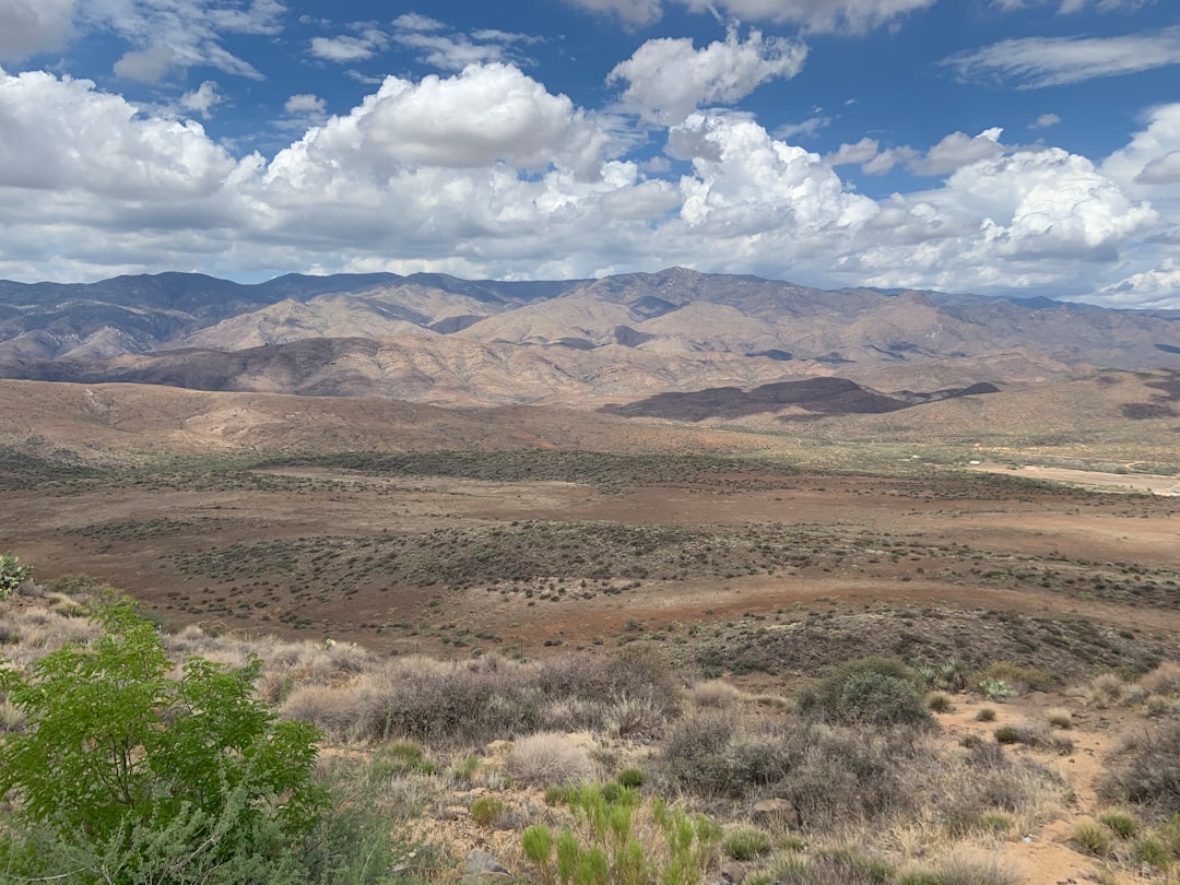
Nevada, known for its vast deserts, stunning mountain ranges, and vibrant cities, has a complex landscape of land ownership that reflects its unique history and development. The state is characterized by a mix of public and private lands, with significant portions managed by federal and state agencies. Understanding the intricacies of land ownership in Nevada is essential for various stakeholders, including residents, developers, conservationists, and policymakers.
The state’s land ownership patterns are not only a reflection of its geographical diversity but also of its economic and social dynamics. The importance of comprehending land ownership in Nevada extends beyond mere curiosity; it plays a crucial role in planning, development, and conservation efforts. With the advent of technology, accessing information about land ownership has become more straightforward.
One of the most valuable tools available to the public is Nevada’s interactive map, which provides detailed insights into land ownership across the state. This article aims to explore the significance of land ownership in Nevada, the functionality of the interactive map, and its implications for various stakeholders.
Key Takeaways
- Nevada’s land ownership is a complex and important aspect of the state’s geography and economy.
- Understanding land ownership is crucial for various purposes such as planning, research, and conservation efforts.
- Nevada’s interactive map provides a comprehensive overview of land ownership in the state.
- Users can easily navigate and utilize the interactive map to explore public and private land ownership in Nevada.
- Accessing and understanding land ownership through the interactive map is valuable for research, planning, and making informed decisions regarding conservation and development.
Understanding the Importance of Land Ownership
Land ownership is a fundamental aspect of property rights and economic development. In Nevada, where land is a critical resource for agriculture, mining, tourism, and recreation, understanding who owns what is vital for effective planning and resource management. Land ownership influences everything from local economies to environmental conservation efforts.
For instance, private landowners may have different priorities compared to public agencies when it comes to land use, which can lead to conflicts or synergies in land management practices. Moreover, land ownership shapes community identity and cultural heritage. In many cases, the land is tied to historical narratives and indigenous rights, making it essential for residents to understand the implications of land ownership on their communities.
As urban areas expand and rural lands face development pressures, the need for informed decision-making regarding land use becomes increasingly important. This understanding fosters a sense of responsibility among stakeholders to engage in sustainable practices that benefit both the environment and the economy.
Overview of Nevada’s Interactive Map
Nevada’s interactive map serves as a powerful tool for anyone interested in exploring land ownership within the state. This digital resource provides users with an intuitive interface that allows them to visualize and analyze various aspects of land ownership, including boundaries, parcel sizes, and ownership types. The map integrates data from multiple sources, including federal, state, and local agencies, making it a comprehensive resource for understanding land distribution across Nevada.
The interactive map is designed to be user-friendly, catering to a wide range of users from casual explorers to professional planners. It offers various layers of information that can be toggled on and off, allowing users to customize their view based on their specific interests.
How to Use the Interactive Map
| Step | Description |
|---|---|
| 1 | Open the Interactive Map webpage |
| 2 | Click on the “How to Use” button |
| 3 | Read the instructions on how to navigate the map |
| 4 | Practice using the map controls such as zooming and panning |
| 5 | Explore the different layers and features available on the map |
Using Nevada’s interactive map is a straightforward process that empowers users to delve into the complexities of land ownership with ease. Upon accessing the map, users are greeted with a visual representation of Nevada’s landscape, complete with various overlays that indicate different types of land ownership. Users can zoom in and out to focus on specific areas or regions of interest, making it easy to navigate through the state’s diverse geography.
To maximize the utility of the interactive map, users can utilize various tools available within the platform. For instance, they can search for specific parcels by entering addresses or parcel numbers. Additionally, users can measure distances between points or areas directly on the map, which is particularly useful for planning purposes.
The ability to print or save maps also allows users to create physical copies for further analysis or presentations. Overall, the interactive map serves as an invaluable resource for anyone seeking to understand land ownership in Nevada.
Exploring Public Land Ownership in Nevada
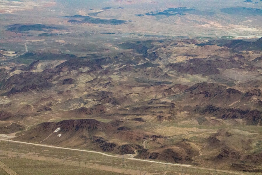
Public land ownership in Nevada is significant due to the state’s vast expanses of federally managed lands. Approximately 85% of Nevada’s total land area is owned by the federal government, primarily managed by agencies such as the Bureau of Land Management (BLM) and the U.S. Forest Service. These public lands are crucial for various activities, including recreation, wildlife habitat preservation, and natural resource management. The interactive map provides detailed information about these public lands, allowing users to identify areas designated for specific uses such as national parks, wildlife refuges, and recreational areas. Exploring public land ownership through the interactive map reveals not only the extent of these lands but also their diverse uses and regulations. Users can learn about designated wilderness areas that protect sensitive ecosystems or discover popular recreational sites like Lake Tahoe and Red Rock Canyon. Understanding public land ownership is essential for outdoor enthusiasts who wish to engage in activities such as hiking, camping, or hunting while adhering to regulations that govern these lands.
Exploring Private Land Ownership in Nevada
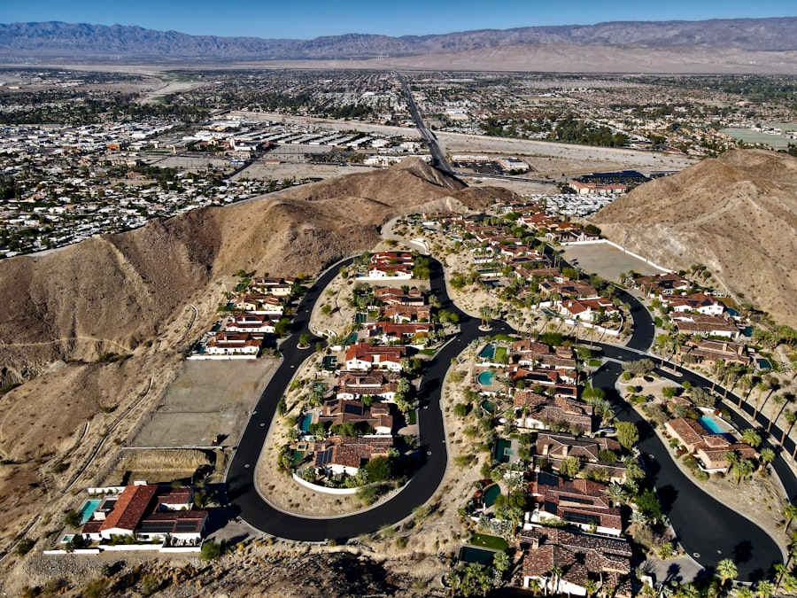
In contrast to public lands, private land ownership in Nevada encompasses a wide range of properties held by individuals and corporations. This includes residential properties, commercial developments, agricultural lands, and mining claims. The interactive map allows users to explore private land ownership patterns across different regions of Nevada, providing insights into how these lands are utilized and developed.
Private land ownership plays a critical role in shaping local economies and communities. For instance, agricultural lands contribute significantly to Nevada’s economy through crop production and livestock farming. Similarly, urban areas are characterized by residential developments that cater to growing populations.
By utilizing the interactive map, users can identify trends in private land ownership and assess how these patterns impact local infrastructure and services.
Identifying Land Ownership Boundaries and Parcels
One of the key features of Nevada’s interactive map is its ability to delineate land ownership boundaries and individual parcels clearly. This functionality is particularly valuable for those involved in real estate transactions or land use planning. Users can easily identify property lines and understand how different parcels relate to one another within a given area.
The clarity provided by the interactive map helps mitigate potential disputes over property boundaries by offering accurate visual representations of ownership lines. For developers and planners, this information is crucial when considering new projects or expansions. By understanding existing boundaries and parcel sizes, stakeholders can make informed decisions that align with zoning regulations and community needs.
Utilizing the Interactive Map for Research and Planning
The interactive map serves as an essential tool for research and planning across various sectors in Nevada. For researchers studying land use patterns or environmental impacts, the map provides a wealth of data that can be analyzed to draw meaningful conclusions. By layering different types of information—such as topography, hydrology, and land use—researchers can gain insights into how these factors interact within specific regions.
For planners and developers, the interactive map aids in identifying suitable locations for new projects while considering existing infrastructure and community needs. By visualizing land ownership patterns alongside zoning regulations and environmental constraints, stakeholders can develop comprehensive plans that promote sustainable growth. The ability to access this information quickly enhances collaboration among various entities involved in land management and development.
Comparing Land Ownership Patterns in Different Regions of Nevada
Nevada’s diverse geography results in varying land ownership patterns across different regions of the state. For instance, urban areas like Las Vegas exhibit high concentrations of private land ownership due to extensive residential and commercial developments. In contrast, rural regions may have larger expanses of public lands managed by federal agencies.
The interactive map allows users to compare these patterns visually, providing insights into how geography influences land use. By examining these regional differences through the interactive map, stakeholders can better understand the unique challenges and opportunities each area presents. For example, urban planners may focus on addressing housing shortages in densely populated cities while conservationists may prioritize protecting natural habitats in rural areas.
This comparative analysis fosters informed decision-making that considers both local needs and broader environmental goals.
Understanding the Implications of Land Ownership for Conservation and Development
The implications of land ownership extend beyond mere property rights; they encompass critical issues related to conservation and development. In Nevada, where natural resources are abundant yet finite, balancing development with environmental protection is paramount. Public lands often serve as vital habitats for wildlife and recreational spaces for residents; thus, understanding their ownership is crucial for effective conservation efforts.
Conversely, private landowners have significant influence over how their properties are developed or preserved. The interactive map enables stakeholders to identify areas where development may conflict with conservation goals or where opportunities exist for collaborative efforts between public agencies and private entities. By fostering dialogue among these groups, Nevada can work towards sustainable solutions that benefit both economic growth and environmental stewardship.
The Value of Accessing and Understanding Nevada’s Land Ownership through the Interactive Map
In conclusion, accessing and understanding Nevada’s land ownership through the interactive map offers invaluable insights into the state’s complex landscape. This digital tool empowers users—from residents to policymakers—to explore public and private lands while considering their implications for development and conservation efforts. By fostering informed decision-making based on accurate data visualization, stakeholders can navigate the challenges posed by competing interests in land use.
As Nevada continues to grow and evolve, understanding its land ownership patterns will remain essential for promoting sustainable practices that benefit both communities and natural resources. The interactive map stands as a testament to how technology can enhance transparency and accessibility in land management discussions—ultimately contributing to a more informed citizenry capable of engaging with critical issues surrounding land use in Nevada.
For those interested in exploring the intricacies of land ownership in Nevada, a valuable resource is the Nevada land ownership map, which provides detailed insights into property boundaries and ownership details. To further enhance your understanding, you might find it beneficial to explore related articles that delve into geographic and property data. One such article can be found on MyGeoQuest, which offers a comprehensive overview of mapping tools and resources. You can read more about it by visiting this related article on their website.
WATCH THIS! 🎰 Nevada’s Vast Empty Land Isn’t an Accident
FAQs
What is a Nevada land ownership map?
A Nevada land ownership map is a map that displays the ownership boundaries of land parcels within the state of Nevada. It provides information on who owns specific pieces of land and can be used for various purposes such as real estate transactions, land development, and resource management.
Where can I find a Nevada land ownership map?
Nevada land ownership maps can be found through various sources such as government agencies, county assessor offices, online mapping websites, and private companies that specialize in land information services. Some maps may be available for free while others may require a fee for access.
What information is included in a Nevada land ownership map?
A Nevada land ownership map typically includes the boundaries of land parcels, the names of the owners or entities that own the land, parcel identification numbers, and other relevant information such as acreage and zoning designations. It may also include topographic features and other geographic data.
How can a Nevada land ownership map be used?
A Nevada land ownership map can be used for a variety of purposes including property research, land use planning, real estate transactions, boundary disputes, environmental assessments, and natural resource management. It can also be used by individuals, businesses, and government agencies to make informed decisions about land-related activities.