The Unyielding Embrace of Verdant Depths
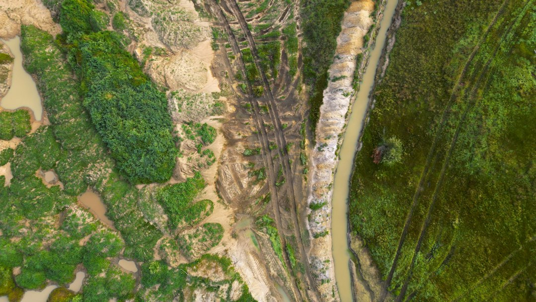
The Darién Gap, a formidable stretch of untamed wilderness straddling the border of Panama and Colombia, represents one of the most formidable natural barriers on Earth. This vast, largely roadless expanse of dense jungle, swamps, and rugged mountains has long defied human attempts at complete conquest or easy passage. Its terrain, a chaotic symphony of ecological diversity and geological challenges, presents a unique and daunting set of obstacles that have shaped its history and continue to influence contemporary human endeavors, from infrastructure development to migration patterns. Understanding the intricacies of the Darién Gap’s terrain is crucial for appreciating its enduring mystique and the persistent difficulties it imposes on any who dare to traverse its depths.
The Darien Gap, a dense and challenging region between Panama and Colombia, presents unique terrain analysis opportunities for researchers and adventurers alike. For a deeper understanding of the geographical and ecological complexities of this area, you can explore a related article that delves into the various factors influencing the terrain and its impact on biodiversity. Check out this insightful piece at My Geo Quest for more information on the Darien Gap and its significance in the context of geography and conservation.
The Verdant Veil: Jungle and Biodiversity
The dominant characteristic of the Darién Gap is its incredibly dense tropical rainforest. This is not a placid forest but a riotous, multi-layered ecosystem teeming with life, a testament to its position in one of the planet’s biodiversity hotspots. The canopy, a thick, interlocking ceiling of ancient trees, often blocks out most sunlight from reaching the forest floor, creating a perpetually dim and humid environment. This dense foliage, comprised of towering hardwoods, towering palms, and an astonishing array of epiphytes like orchids and bromeliads, makes visibility extremely limited. Trails that do exist, often forged by indigenous communities or wildlife, are quickly reclaimed by the persistent growth. Every step forward requires hacking through tangled vines, undergrowth, and fallen debris.
The Stratification of Life
The rainforest’s vertical structure further complicates passage. The emergent layer, with trees soaring above the main canopy, is exposed to harsh elements but offers little in the way of direct traversable routes. Below this lies the main canopy, a realm of arboreal life where monkeys, sloths, and countless bird species thrive. The understory is a dense thicket of smaller trees, shrubs, and ferns, perpetually shaded and damp. Finally, the forest floor, often a muddy and leaf-strewn expanse, is a complex terrain of roots, decaying organic matter, and hidden sinkholes. Navigating this vertical complexity, even with the best intentions, is a disorienting and physically demanding undertaking. The sheer biomass present means that any cleared path is a temporary reprieve, a battle against the relentless resurgence of vegetation. This constant struggle against the jungle’s vegetative force is a primary reason for the lack of a continuous road system through the Darién.
A Symphony of Species: The Biological Challenge
Beyond the physical obstruction of the vegetation, the sheer biodiversity of the Darién Gap presents its own set of challenges. This region is home to an astonishing array of flora and fauna, many of which are venomous, dangerous, or otherwise hazardous to human presence. Jaguars, pumas, venomous snakes like fer-de-lance and coral snakes, poisonous dart frogs, and a multitude of biting insects are common inhabitants. The constant threat of encounters with these creatures requires extreme vigilance and specialized knowledge for safe passage. Furthermore, the humid climate and abundant water sources foster a proliferation of pathogens and disease vectors. Malaria, dengue fever, and other tropical diseases pose significant health risks, demanding rigorous preventative measures and immediate medical attention should illness strike. The interconnectedness of the ecosystem means that disturbances caused by human passage can have far-reaching and unpredictable consequences, further emphasizing the delicate balance that defines this environment.
The Watery Maze: Swamps and Rivers
Interspersed within the dense jungle are extensive networks of swamps, marshes, and slow-moving rivers. These waterlogged areas are as impenetrable as the thickest jungle, often characterized by stagnant water, thick mud, and a dense growth of water-loving vegetation. These environments significantly impede overland travel and often necessitate the use of boats or other watercraft for any significant progress. The depth of these water bodies can be deceptive, with hidden channels and treacherous soft bottoms. Crossing them often involves wading through knee-deep or even waist-deep water, constantly battling leeches, biting insects, and the risk of sinking into the mire.
The Boggy Depths of the Swamp
The swamps of the Darién Gap are characterized by their thick, waterlogged soil and dense vegetation adapted to saturated conditions. Mangrove forests, vital coastal ecosystems, can extend inland in some areas, adding another layer of complexity with their tangled prop roots. These roots, while crucial for the ecosystem, create a bewildering maze that is incredibly difficult to navigate on foot. The ground is often unstable, a deceptive blend of mud and decaying vegetation that can give way without warning. Drainage is poor, leading to standing water that provides breeding grounds for mosquitoes and other disease-carrying insects. The air in these areas is thick with humidity and the scent of decomposition, a constant reminder of the challenging conditions. Any attempt to traverse these swamps requires specialized gear, considerable physical exertion, and a deep understanding of the terrain to avoid getting bogged down or lost.
The Arteries of the Jungle: Rivers and Waterways
The rivers and streams that crisscross the Darién Gap serve as both vital lifelines and significant barriers. While they can offer a means of transportation, they are often unnavigable due to their rapid currents, submerged obstacles, or sheer width. Many rivers are prone to flash floods, their calm surfaces transforming into raging torrents with little warning, making them incredibly dangerous. The banks are often steep and muddy, offering little purchase for disembarking or embarking. For those seeking to traverse the Gap, these waterways represent a significant hurdle, requiring careful planning, suitable watercraft, and an awareness of the ever-changing river conditions. The presence of caimans and other aquatic predators adds another layer of risk to any river crossing. Moreover, the rivers act as conduits for sediment and debris, constantly reshaping the landscape and making any pre-existing maps or knowledge quickly outdated.
The Rugged Spine: Mountains and Ridges
Adding another dimension of difficulty to the Darién Gap’s terrain are the numerous hills, mountains, and rugged ridges that punctuate the landscape. These elevations are not the smooth, rolling hills of more cultivated regions but sharp, often heavily vegetated inclines. The inclines are frequently steep, covered in slippery mud or loose scree, and choked with vegetation, making ascent and descent arduous and dangerous. The lack of established trails means that climbers must carve their own paths, a slow and exhausting process. These mountainous sections break up any semblance of continuous travel, forcing detours and adding significant time and energy expenditure to any journey.
The Treacherous Ascent
The mountainous terrain of the Darién Gap is characterized by its steep gradients and often unstable footing. The slopes are frequently covered in thick jungle, with tangled roots and dense undergrowth making each step a challenge. Rain, common in this region, exacerbates the slipperiness of the terrain, turning mud into a viscous trap. Landslides are a constant threat, particularly on steeper slopes, posing a significant risk to anyone traversing the area. The lack of clear vantage points due to the dense canopy makes navigation particularly difficult, as orientation becomes a constant struggle. The physical exertion required to ascend these inclines, often carrying significant loads, can be debilitating, pushing even the most experienced individuals to their limits.
The Dividing Ridges
The mountain ridges that dissect the Darién Gap act as natural barriers, forcing travelers to either ascend and descend them or find incredibly circuitous routes around them. These ridges are not always easily traversed; they can be narrow and exposed in places, or densely forested and difficult to move through. The sheer act of gaining and losing elevation repeatedly across multiple ridges significantly increases the time and effort required to cover even short distances. The constant changes in elevation also present challenges for acclimatization and can lead to increased fatigue. For any attempt at large-scale infrastructure projects, such as building a road, these mountainous spines represent immense engineering hurdles, requiring extensive excavation, tunneling, and bridge construction, each adding monumental cost and complexity.
The Darien Gap presents a unique set of challenges for terrain analysis due to its dense jungles and rugged landscape. For those interested in exploring more about the geographical complexities of this region, a related article can be found at My Geo Quest, which delves into various aspects of terrain mapping and environmental studies. Understanding the intricacies of the Darien Gap is essential for researchers and adventurers alike, as it offers insights into both natural and human influences on this remote area.
The Ground Beneath: Soil and Substrate
| Metric | Description | Value/Range | Unit |
|---|---|---|---|
| Area Covered | Total land area of the Darien Gap region | 10,000 | km² |
| Elevation Range | Minimum to maximum elevation within the terrain | 0 – 1,200 | meters above sea level |
| Vegetation Density | Average canopy cover percentage | 85 – 95 | % |
| Annual Rainfall | Average precipitation in the region | 3,000 – 5,000 | mm/year |
| Soil Type | Dominant soil classification | Lateritic and Alluvial | N/A |
| Terrain Slope | Average slope gradient | 15 – 40 | degrees |
| River Density | Number of rivers per square kilometer | 0.5 – 1.2 | rivers/km² |
| Accessibility | Level of difficulty for traversal | Very High | N/A |
Beyond the visible landscape of jungle, water, and mountains, the very ground of the Darién Gap presents its own set of challenges. The soil conditions vary dramatically, from deep, waterlogged mud in swampy areas to loose, unstable soil on hillsides and surprisingly solid, but often uneven, earth in denser jungle clearings. This variability means that footing is never guaranteed, and the risk of sinking, tripping, or encountering hidden hazards is ever-present. The constant humidity and heavy rainfall also contribute to the erosion of soils, particularly on inclines, making the ground unstable and prone to collapse.
The Mud and Mire: A Sticky Trap
In the low-lying areas and alongside the waterways, the soil is predominantly a thick, viscous mud. This mud can be incredibly deep, acting as a powerful impediment to any form of overland movement. The combination of decaying organic matter and constant saturation creates a clinging, almost adhesive, substance that can easily trap feet and equipment. Even seemingly solid ground can give way to unexpected sinkholes or pockets of deep mire. The sheer effort required to pull oneself free from such conditions is immense, and the risk of becoming completely stuck is a genuine concern for anyone traveling through these regions. The constant moisture also means that vehicles, if they were ever to attempt passage, would be severely compromised, quickly becoming bogged down and irreparable.
Unstable Slopes and Hidden Depths
On the hillsides and mountainous terrain, the soil is often looser and less consolidated. Heavy rainfall can easily saturate these slopes, leading to widespread erosion and landslides. This instability makes traversing these areas perilous, as the ground can shift or give way without warning. The root systems of the dense vegetation, while helping to bind some soil, can also create uneven surfaces with hidden gaps and hollows. Beneath the surface layer of leaves and detritus, there can be a complex network of roots, rocks, and uneven terrain that is difficult to discern. This unpredictable substrate requires constant vigilance and a careful assessment of each step to avoid injury or becoming trapped.
The Human Element: Navigating the Impenetrable
The culmination of these terrain challenges—the dense jungle, the watery maze, the rugged mountains, and the unstable ground—creates a natural fortress that has historically resisted widespread human penetration. For millennia, indigenous communities have navigated these environments, developing intricate knowledge and sustainable practices passed down through generations. Their understanding of the flora, fauna, and seasonal changes allows them to move through the Gap with a degree of success unimaginable to outsiders. However, for those lacking this deep, ingrained knowledge, the Darién Gap remains an almost impenetrable barrier.
The Ghost of the Darién Highway
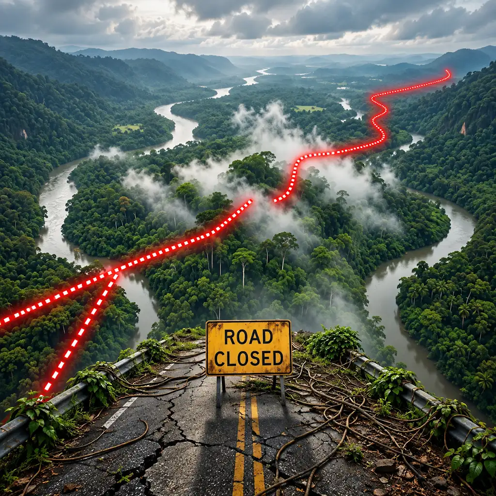
The most ambitious attempt to overcome the Darién Gap’s terrain was the envisioned Pan-American Highway, a grand project intended to connect the Americas by road. The Darién Gap section, however, proved to be the insurmountable obstacle. The immense cost, engineering complexities, and environmental concerns associated with building a highway through this wild expanse ultimately led to the project’s abandonment. The sheer scale of clearing, bridging, and tunneling required to create a continuous road is staggering, and the ongoing maintenance of such a route in the face of the jungle’s relentless growth would be an astronomical undertaking. This unfinished segment, a testament to the power of nature, serves as a stark reminder of the terrain’s dominance.
The Modern Exodus: A Perilous Passage
In recent years, the Darién Gap has become a crucial and increasingly dangerous transit point for migrants seeking to reach North America. Drawn by economic hardship and instability in their home countries, thousands embark on this perilous journey each year. The terrain amplifies the already significant risks associated with such migration. Migrants, often with limited resources and no local knowledge, face the full brunt of the jungle’s hostility. They contend with treacherous river crossings, venomous creatures, disease, exhaustion, and the constant threat of crime and exploitation. The lack of infrastructure means that this journey is undertaken with minimal support, relying on the kindness of strangers or the guidance of smugglers who often prioritize profit over safety. The Darién Gap, in this context, is not merely a geographical barrier but a brutal arbiter of human desperation, a place where the unforgiving terrain tests the limits of human resilience and survival. The analysis of its terrain is therefore not just an academic exercise but a critical aspect of understanding the human dimension of this formidable natural obstacle.
Why the World’s Longest Highway Stops Here
FAQs
What is the Darien Gap?
The Darien Gap is a dense and remote jungle region located between Panama and Colombia, known for its challenging terrain and lack of infrastructure.
Why is the Darien Gap considered one of the most dangerous areas in the world?
The Darien Gap is considered one of the most dangerous areas in the world due to its rugged terrain, presence of drug traffickers, armed groups, and wildlife hazards such as snakes and insects.
What are some of the challenges faced by travelers attempting to cross the Darien Gap?
Travelers attempting to cross the Darien Gap face challenges such as dense jungle vegetation, swamps, rivers, steep mountains, lack of trails, and the risk of encountering dangerous individuals or groups.
Is it possible to cross the Darien Gap on foot?
While it is technically possible to cross the Darien Gap on foot, it is extremely difficult and dangerous due to the challenging terrain, lack of infrastructure, and security risks. Many experts advise against attempting this journey.
What are some alternative routes to bypass the Darien Gap?
Some alternative routes to bypass the Darien Gap include flying between Panama and Colombia, taking a boat along the coast, or traveling by road through Central America and then taking a ferry from Panama to Colombia.