
The ever-shifting sands of the Char Islands, a dynamic archipelago in the Bay of Bengal, present a compelling case study in the interplay of natural forces and human activity. These islands, formed by the deposition of silt and sediment carried by mighty rivers and ocean currents, are in a constant state of flux. Their shapes are not static entities but rather transient landscapes sculpted by a relentless interplay of accretion and erosion. Understanding these transformations is crucial, not only for scientific curiosity but also for the millions of lives and livelihoods that depend on these fragile ecosystems.
The Unfolding Drama of Island Formation
The genesis of the Char Islands is a testament to the power of fluvial and marine processes. Rivers like the Ganges, Brahmaputra, and Meghna, laden with vast quantities of sediment eroded from the Himalayas and surrounding lands, deposit this material at their mouths. As these powerful currents meet the comparatively calmer waters of the Bay of Bengal, their velocity decreases, causing the suspended sediments to settle. This continuous deposition over centuries has given rise to the formation of new landmasses, the very foundation of the Char Islands.
Sediment Sources and Transport Mechanisms
The primary source of sediment for the Char Islands lies in the erosion of the vast river basins that drain into the Bay of Bengal. The sheer scale of these river systems means that enormous volumes of silt, sand, and clay are constantly being transported towards the coast. Monsoonal rains, which bring torrential downpours during the summer months, significantly increase river discharge and accelerate erosion rates. This intensified flow carries a greater load of sediment, which is then delivered to the deltaic region.
The transport of this sediment is a complex interplay of riverine and oceanic currents. Within the rivers, the flow velocity dictates the size of particles that can be suspended and carried downstream. Larger, heavier particles tend to be deposited in slower-moving sections, while finer particles are transported further towards the estuary. As the river water enters the Bay of Bengal, the dilution of freshwater by saltwater leads to flocculation – the aggregation of fine sediment particles. This aggregation makes them heavier and more prone to settling. Furthermore, the powerful tidal currents and wave action in the Bay of Bengal play a significant role in redistributing this newly deposited sediment, shaping the nascent islands.
The Role of Tides and Wave Action
The diurnal and semi-diurnal tidal cycles of the Bay of Bengal exert a profound influence on the Char Islands. High tides can inundate large areas, carrying fresh sediment and further building up the land. Conversely, low tides expose these areas, allowing for drying and consolidation of the deposited material. The constant ebb and flow of the tides also contribute to erosion, particularly along the edges of the islands where the water movement is most energetic.
Wave action, driven by prevailing winds and storm surges, is another potent force in shaping the Char Islands. Coastal erosion is a direct consequence of waves repeatedly hitting the shore, dislodging and transporting sediment. The intensity and frequency of wave action can vary significantly, influenced by seasonal wind patterns and the occurrence of cyclones. During storm events, the erosive power of waves is amplified, leading to rapid changes in island morphology. These erosive forces can sculpt cliff faces, widen beaches, and even lead to the submergence of smaller or less consolidated landmasses.
The changing shape of char islands is a fascinating topic that highlights the dynamic nature of riverine ecosystems. For a deeper understanding of this phenomenon, you can explore a related article that delves into the geological and environmental factors influencing these transformations. To read more about it, visit this article, which provides valuable insights into the processes shaping char islands and their significance in the surrounding landscapes.
Forces of Transformation: Erosion and Accretion Dynamics
The lifeblood of the Char Islands is their ceaseless transformation, a dynamic equilibrium between the forces that build them up and those that wear them down. Accretion, the process of sediment deposition and land building, is what creates these islands in the first place. Erosion, the gradual removal of land by natural forces, is the inevitable counterpoint, constantly reshaping and sometimes diminishing them. The balance between these two processes dictates the long-term stability and evolution of the Char Islands.
Accretionary Processes: Building New Land
Accretion is most pronounced in the intertidal zones and at the mouths of channels where riverine and tidal currents slow down. Here, the suspended sediment settles out, gradually accumulating to form new land. This process is facilitated by the presence of vegetation, such as mangroves and salt-tolerant grasses, which trap sediment and stabilize the newly formed land. The root systems of these plants bind the soil particles together, preventing them from being easily washed away by currents and waves.
Over time, continuous accretion can lead to the emergence of new islands from the seabed. These nascent islands are initially low-lying and highly vulnerable to erosion. However, with sustained deposition, they can grow in size and elevation, becoming more stable. The development of complex channel networks within the deltaic region also plays a role in accretion. As channels migrate and deposit sediment along their banks, they can coalesce, further expanding the land area. This ongoing process of land building is a fundamental characteristic of deltaic environments.
Erosional Processes: The Sculpting Hand of Nature
Erosion, while destructive in appearance, is also a vital part of the Char Islands’ dynamic evolution. It is responsible for the carving of channels, the shaping of shorelines, and the redistribution of sediment. Wave action, as previously mentioned, is a primary driver of coastal erosion. The consistent battering of waves can undercut the shoreline, leading to slumping and the loss of land. Tidal currents, particularly in narrow channels, can also exert significant erosive forces, scouring the seabed and eroding the banks.
The process of land subsidence, though often slower and less visible, also contributes to the net loss of land in some areas. As sediment compacts and burrows are created by organisms, the land surface can gradually sink. In deltaic regions, where sedimentation rates can be high, compaction is a natural phenomenon. However, anthropogenic factors, such as groundwater extraction, can exacerbate subsidence. Furthermore, rising sea levels, a global phenomenon amplified in low-lying deltaic regions, contribute to increased inundation and erosion, effectively submerging areas that were once above water.
Human Footprints: Interventions and Their Ramifications
While natural forces are the primary architects of the Char Islands, human interventions, both intentional and unintentional, have increasingly influenced their trajectory. These interventions range from attempts to stabilize land and harness resources to the broader impacts of climate change driven by human activities. The consequences of these actions are far-reaching, affecting both the natural environment and the human populations that inhabit these evolving landscapes.
Coastal Defenses and Land Reclamation Efforts
To protect existing settlements and valuable agricultural land from the encroaching sea and erosion, various coastal defense structures have been implemented. These include the construction of embankments, seawalls, and groynes. While these structures can offer localized protection, they often have unintended consequences. Embankments, for instance, can disrupt natural sediment flow, leading to erosion on the unprotected seaward side and increased sedimentation behind the structure, potentially altering the island’s shape and ecosystem.
Land reclamation projects, aimed at increasing the habitable and cultivable area, involve the artificial creation of land by depositing soil and sediment. While these projects can expand the landmass, they often involve significant alteration of natural hydrological patterns and can impact coastal habitats. The material used for reclamation may also be sourced from ecologically sensitive areas, further contributing to environmental degradation. The long-term sustainability of these interventions, especially in the face of rising sea levels, remains a significant concern.
The Impact of Climate Change and Rising Sea Levels
The most significant anthropogenic factor influencing the Char Islands’ shape is undoubtedly climate change, particularly the phenomenon of rising global sea levels. As polar ice caps melt and seawater expands due to warming, sea levels are steadily increasing. For low-lying deltaic regions like the Char Islands, this rise in sea level has amplified consequences. Increased inundation during high tides and storm surges becomes more frequent and severe, leading to greater erosion and the loss of land.
Furthermore, climate change is altering weather patterns, potentially leading to more intense storms and cyclones. These extreme weather events can unleash powerful wave action and surges, causing widespread erosion and inundation, drastically reshaping the islands in a short period. The salinity of the soil and freshwater sources is also affected, impacting agriculture and the suitability of the land for human habitation. The delicate balance of the Char Islands’ ecosystem is thus profoundly challenged by these climate-induced changes.
Ecological and Social Consequences of a Shifting Landscape
The ceaseless transformation of the Char Islands carries profound implications for the delicate ecosystems they support and the human communities that call them home. The very fabric of life on these islands is intertwined with the stability, or lack thereof, of their physical form.
Biodiversity and Habitat Alteration
The dynamic nature of the Char Islands creates a unique, albeit often fragile, habitat for a diverse range of flora and fauna. The intertidal zones, constantly being reshaped by erosion and accretion, provide crucial feeding grounds for migratory birds and support a rich invertebrate community. Mangrove forests, where they exist, are vital nurseries for fish and crustaceans, and their presence plays a critical role in stabilizing shorelines and trapping sediment.
However, rapid erosion and land loss can lead to the destruction of these habitats. The loss of mangrove cover, often exacerbated by human activities or increased salinity, diminishes biodiversity and reduces the natural protection against storms. Conversely, new land formation can create opportunities for colonization by new species, leading to shifts in community composition. The overall impact on biodiversity is a complex balance between habitat destruction and the creation of new ecological niches. The adaptability of species to these rapid environmental changes is a key factor in their survival.
Displacement, Livelihood Impacts, and Adaptation Strategies
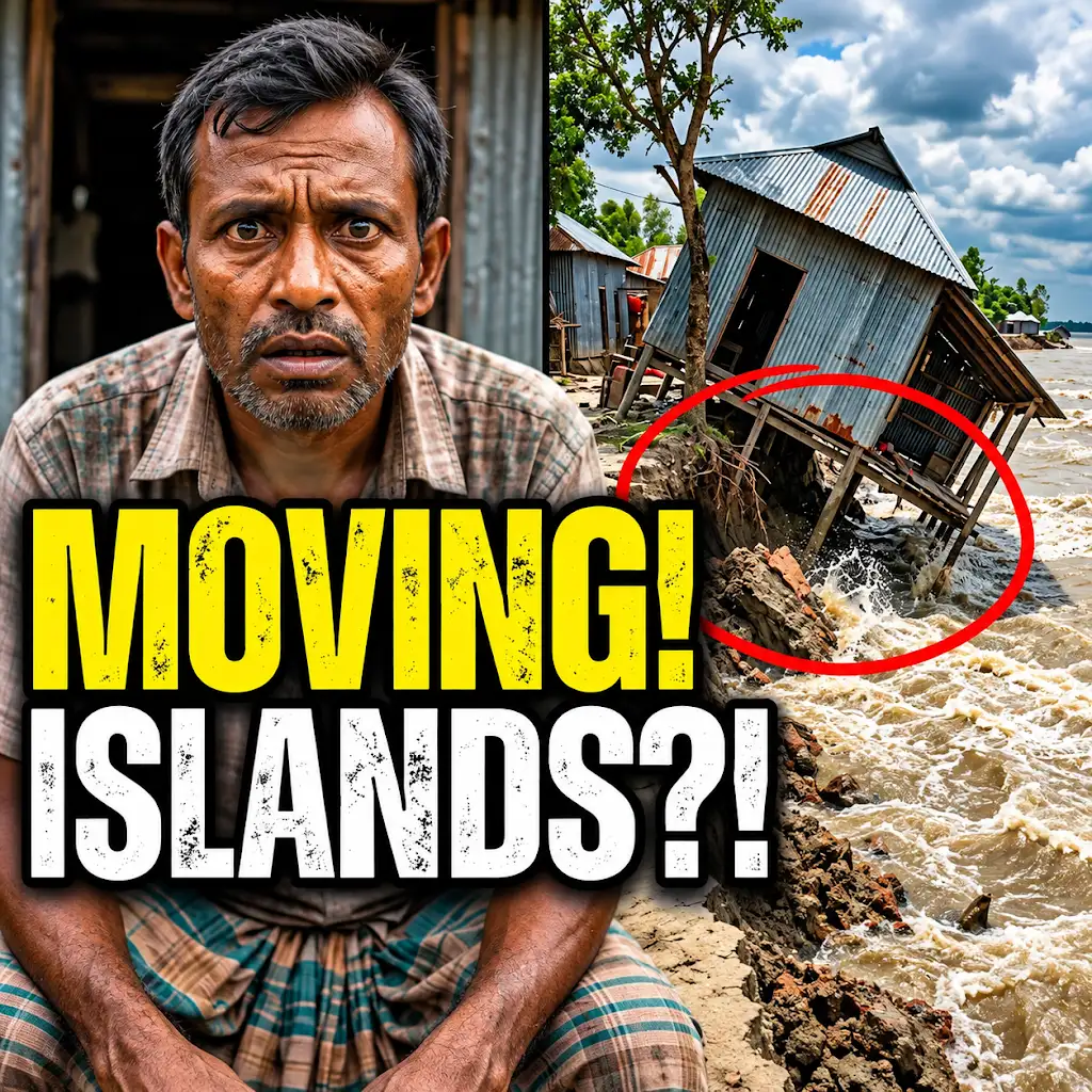
For the millions of people living on the Char Islands, the changing shape of their homeland is not an abstract geographical phenomenon but a direct threat to their existence. Erosion can directly impact settlements, destroying homes and forcing communities to relocate. Agricultural land, the backbone of many livelihoods, can be rendered infertile by saltwater intrusion or eroded away entirely. Fishing communities may find their traditional fishing grounds altered or destroyed by changes in water depth and sediment load.
These impacts lead to widespread displacement, both internal and external. People are forced to move to safer areas, often to overcrowded urban centers, straining resources and social structures. This displacement often results in a loss of cultural identity and social cohesion. In response to these challenges, communities are developing various adaptation strategies. These include constructing raised platforms for homes, diversifying livelihoods to reduce reliance on vulnerable agriculture, and adopting more resilient farming practices. Community-based initiatives for coastal management and disaster preparedness are also gaining prominence, reflecting the urgent need for collective action in the face of a changing environment.
The changing shape of char islands is a fascinating topic that highlights the dynamic nature of our planet’s landscapes. Recent studies have shown how factors such as erosion, sediment deposition, and climate change contribute to these transformations. For a deeper understanding of this phenomenon, you can explore a related article that delves into the intricate processes affecting these islands. This insightful piece can be found here, providing valuable information on the subject.
Future Projections and the Need for Sustainable Management
| Year | Island Name | Area (sq km) | Coastline Length (km) | Elevation Change (m) | Primary Cause of Change |
|---|---|---|---|---|---|
| 2000 | Char A | 12.5 | 18.3 | +1.2 | Sediment deposition |
| 2005 | Char A | 13.1 | 19.0 | +1.5 | River sediment inflow |
| 2010 | Char B | 8.7 | 14.2 | -0.8 | Coastal erosion |
| 2015 | Char B | 7.9 | 13.5 | -1.1 | Sea level rise |
| 2020 | Char C | 5.4 | 9.8 | +0.3 | Vegetation growth |
| 2023 | Char C | 5.7 | 10.1 | +0.5 | Accretion from sediment |
The future of the Char Islands is intrinsically linked to the trajectory of global climate change and the effectiveness of local and regional management strategies. Without decisive action, the ongoing processes of erosion and rising sea levels threaten to shrink these islands, displacing millions and devastating ecosystems. However, with a concerted effort towards sustainable management and adaptation, a more resilient future can be envisioned.
Modeling Island Evolution and Predicting Future Scenarios
Scientists are increasingly employing sophisticated modeling techniques to understand and predict the future evolution of the Char Islands. These models take into account a multitude of factors, including sediment transport dynamics, tidal and wave regimes, sea-level rise projections, and the potential impacts of climate change on weather patterns. By simulating various scenarios, researchers can gain insights into which areas are most vulnerable to erosion, where new land is likely to form, and the potential timeline for significant morphological changes.
These predictive models are crucial for informed decision-making. They can help policymakers identify areas requiring urgent attention for coastal protection, plan for potential relocation of communities, and prioritize investments in adaptation measures. The accuracy and reliability of these models are constantly being improved through ongoing research and the integration of real-world data from satellite imagery, field surveys, and monitoring stations.
Towards Resilient Deltas: Integrated Management and International Cooperation
Addressing the complex challenges facing the Char Islands requires a paradigm shift towards integrated coastal zone management. This approach recognizes that the physical, ecological, and social systems of the delta are interconnected and must be managed holistically. It necessitates collaboration among various government agencies, local communities, researchers, and international organizations.
Key elements of such an integrated approach would include: enhancing natural defenses by restoring and protecting mangrove forests; developing and implementing sustainable land-use planning that accounts for erosion and inundation risks; investing in climate-resilient infrastructure and livelihood diversification programs; and strengthening early warning systems for natural disasters. Crucially, international cooperation is vital. The causes of climate change are global, and the impacts are felt most acutely in vulnerable regions. Developed nations have a responsibility to support developing countries like Bangladesh in their adaptation and mitigation efforts through financial assistance, technology transfer, and knowledge sharing. The fate of the Char Islands serves as a stark reminder of our shared vulnerability and the urgent need for collective action to build more resilient deltas for the future.
This River is Literally Erasing Islands
FAQs
What are char islands?
Char islands are temporary landforms that appear and disappear in river deltas due to the dynamic nature of sediment deposition and erosion.
How do char islands change shape over time?
Char islands change shape primarily through the processes of erosion, sediment deposition, and natural forces such as river currents and tides.
What factors contribute to the formation of char islands?
The formation of char islands is influenced by factors such as sediment supply, river flow patterns, tidal forces, and human activities like dam construction and deforestation.
Why are char islands important ecologically?
Char islands provide important habitats for various plant and animal species, contribute to biodiversity, and play a role in the natural processes of sediment transport and nutrient cycling in river ecosystems.
How do changes in climate and sea level affect the shape of char islands?
Changes in climate and sea level can impact the shape of char islands by altering sediment supply, increasing erosion rates, and causing shifts in river flow patterns, ultimately leading to changes in the size and location of these dynamic landforms.