
## A Land Shaped by Giants: The Tectonic Tapestry of Tajikistan
Tajikistan, a landlocked nation nestled in the heart of Central Asia, presents a geological landscape of extraordinary complexity and dynamism. Its mountainous terrain, dominated by the Pamir and Alay ranges, is a direct consequence of millennia of intense tectonic activity, primarily driven by the colossal collision between the Indian and Eurasian plates. This ongoing geodynamic process has sculpted a land characterized by towering peaks, deep valleys, and a rich geological history that speaks volumes about the Earth’s immense power. Understanding the geology of Tajikistan is akin to unraveling a grand narrative written in rock, a story of ancient seabeds uplifted, continents fragmented, and mountain ranges forged in a relentless cosmic dance.
The geological framework of Tajikistan is largely defined by its location at the convergent boundary of two major tectonic plates. The northward drift of the Indian plate, a process that began approximately 50 million years ago, has exerted immense pressure on the Eurasian plate, leading to widespread deformation, uplift, and metamorphism across the region. This collision is not a simple head-on impact but rather a complex interplay of thrust faulting, folding, and strike-slip movements, resulting in a mosaic of geological structures. The Pamir Mountains, often referred to as the “Roof of the World,” are a prime manifestation of this tectonic drama, rising to elevations exceeding 7,000 meters. The sheer scale and ruggedness of these mountains are testament to the ongoing forces that continue to shape the Tajik landscape.
The geological history of Tajikistan is deeply intertwined with the broader evolution of the Tethys Ocean and the subsequent amalgamation of continental masses. Evidence of ancient marine environments, including sedimentary rocks rich in fossils, can be found in various parts of the country, hinting at a time when what is now land was once submerged beneath the waves. The subsequent collision and closure of the Tethys Ocean played a pivotal role in the formation of the vast mountain ranges of Central Asia, with Tajikistan bearing a significant brunt of this continental collision.
### The Pamir Knot: A Pinnacle of Plate Tectonics
At the very heart of Tajikistan lies the Pamir Knot, a vast and intricate mountain complex where several major mountain ranges converge. This region is a geologist’s paradise, showcasing an unparalleled density of tectonic activity and a diverse array of geological formations. The Pamir Knot is not merely a geographical feature; it is a living laboratory for understanding the mechanics of continental collisions.
#### Formation of the Pamir Mountains
The genesis of the Pamir Mountains is intrinsically linked to the Indian-Eurasian plate collision. As the Indian plate bulldozed northward, it buckled and folded the rocks of the Eurasian plate, creating immense compressional forces. These forces resulted in the uplift of vast crustal blocks, forming the towering peaks and deep intermontane basins that characterize the Pamirs. The geological processes involved are a complex interplay of thrust faulting, where large slabs of rock are pushed over one another, and intense folding, which warps and contorts the rock layers. The high elevations and steep gradients are direct outcomes of this prolonged and powerful tectonic squeeze.
#### Seismic Activity and Crustal Deformation
The Pamir region is one of the most seismically active zones on Earth. The ongoing collision generates significant stress within the crust, leading to frequent earthquakes. These seismic events provide direct evidence of the continuing deformation of the Earth’s crust in this area. Scientists study these earthquakes to better understand the movement of tectonic plates, the distribution of stress, and the potential hazards associated with seismic activity. The crust in the Pamirs is relatively thick and extensively fractured, reflecting the intense pressures it has endured and continues to experience.
Tajikistan’s geology is a fascinating subject, characterized by its diverse landscapes and tectonic activity. For a deeper understanding of the geological features and processes that shape this Central Asian country, you can explore a related article that delves into the intricate details of its geological formations and mineral resources. To read more, visit this article on MyGeoQuest, which provides valuable insights into the geological history and significance of Tajikistan.
## A Stratigraphic Symphony: Rock Layers and Their Stories

The diverse geological formations within Tajikistan offer a rich stratigraphic record, piecing together the region’s past from ancient Precambrian basement rocks to more recent Quaternary deposits. Each layer of rock tells a story, revealing periods of deposition, erosion, volcanic activity, and intense deformation. Studying these rock sequences allows geologists to reconstruct the paleoenvironments and tectonic events that have shaped Tajikistan over millions of years.
### Precambrian and Paleozoic Foundations
The oldest rocks in Tajikistan are found in the northern and southwestern parts of the country, belonging to the Precambrian and Paleozoic eras. These basement rocks, often heavily metamorphosed and intruded by igneous bodies, represent the ancient continental crust that formed the foundation upon which later geological events unfolded. They provide clues about the early history of the region, when it was part of larger continental landmasses and experienced periods of rifting and magmatism.
#### Metamorphic Complexes of the North
In the northern reaches of Tajikistan, particularly within the Tien Shan mountains, extensive metamorphic complexes are exposed. These rocks, including schists, gneisses, and quartzites, have been subjected to high temperatures and pressures, transforming their original mineralogy and texture. Their presence indicates past periods of deep burial and intense tectonic activity, likely associated with the formation of ancient mountain belts that have since been eroded and uplifted.
#### Paleozoic Sedimentary Basins
Evidence of Paleozoic marine life is preserved in the sedimentary rocks found in various parts of Tajikistan. These rocks, such as limestones, sandstones, and shales, were deposited in ancient shallow seas and indicate periods of relatively stable tectonic conditions. Fossils found within these layers provide crucial insights into the types of marine organisms that inhabited these ancient oceans and help in correlating these rock sequences with those found elsewhere in the world.
### Mesozoic and Cenozoic Sequences: From Tethys to Collision
The Mesozoic and Cenozoic eras witnessed dramatic transformations in Tajikistan’s geological landscape, primarily driven by the opening and subsequent closure of the Tethys Ocean and the escalating collision with the Indian plate. This period saw the deposition of vast sedimentary sequences, volcanic activity, and the initial stages of mountain building.
#### The Tethyan Legacy: Sediments of a Lost Ocean
During the Mesozoic Era, Tajikistan was situated on the northern margin of the Tethys Ocean. This period is characterized by the deposition of thick sequences of marine sedimentary rocks, including limestones, sandstones, and shales. These sediments contain a rich fossil record, providing evidence of the diverse marine life that once thrived in these waters. The geological structures within these Mesozoic formations often reveal early stages of deformation, hinting at the approaching continental collision.
#### Cenozoic Uplift and Sedimentation
The Cenozoic Era, particularly from the Eocene epoch onwards, marks the period of most intense tectonic activity, driven by the collision of the Indian and Eurasian plates. This resulted in the rapid uplift of the Pamir and Tien Shan mountain ranges. Accompanying this uplift was the formation of large intramontane basins where vast amounts of sediment eroded from the rising mountains were deposited. These Cenozoic sedimentary sequences, including conglomerates, sandstones, and mudstones, provide a direct record of the erosional and depositional processes associated with mountain building.
## The Sculpting Hand of Ice and Water: Erosional Processes and Their Impact

While tectonic forces are the primary architects of Tajikistan’s grand geological framework, erosional processes, driven by water and ice, have played a crucial role in shaping its dramatic landscapes. Over millennia, glaciers, rivers, and weathering have carved out valleys, sculpted peaks, and transported vast quantities of sediment, contributing to the intricate topography that defines the nation.
### Glacial Sculpting of the High Mountains
The towering peaks of the Pamirs and Tien Shan are profoundly influenced by glaciation. During past ice ages, extensive glaciers covered these high-altitude regions, acting as powerful erosive agents. Their slow, grinding movement carved out U-shaped valleys, cirques, arêtes, and horns, leaving behind the characteristic rugged and dramatic scenery of alpine landscapes. Many of these glaciers persist today, continuing to shape the mountains through basal erosion and frost wedging.
#### Formation of Glacial Valleys and Landforms
The presence of large, glacially-carved valleys is a hallmark of Tajikistan’s high mountain ranges. These valleys, often wide and flat-bottomed with steep sides, are a direct result of the immense erosive power of past glaciers. Features such as hanging valleys, where tributary glaciers joined larger ones, create dramatic waterfalls and steep inclines. Moraines, composed of unsorted glacial debris, are often found marking the former extent of these ice masses.
#### Modern Glaciers and Their Role
Even in the present day, glaciers remain an active geological force in Tajikistan. These ice masses continue to erode the bedrock, transport sediment, and contribute to the supply of water for rivers, particularly during the warmer months. The recession of these glaciers due to climate change is a significant environmental concern, impacting water resources and potentially increasing the risk of glacial lake outburst floods.
### River Systems and Alluvial Landscapes
The extensive river systems that crisscross Tajikistan, fed by glacial meltwater and precipitation, are powerful agents of erosion and deposition. These rivers have carved deep canyons and valleys, transporting vast quantities of sediment downstream to form alluvial plains and deltas.
#### Canyon Formation and Incision
Many of Tajikistan’s rivers have incised deep canyons and gorges into the uplifted rock formations. The sheer force of flowing water, coupled with the abrasive action of sediment carried by the rivers, has over time sculpted these dramatic vertical features. These canyons are not only geologically significant but also play a vital role in the country’s hydrological system.
#### Alluvial Fans and River Terraces
As rivers descend from the mountains, their gradient decreases, leading to a reduction in their erosive power and an increase in deposition. This results in the formation of vast alluvial fans at the mouths of valleys, where sediment is spread out in a fan-shaped deposit. River terraces, stair-like landforms flanking river valleys, represent former floodplain levels, indicating periods of river incision and deposition as the landscape evolved.
## Earth’s Fiery Heart: Volcanic Activity and Igneous Intrusions
While Tajikistan is primarily renowned for its tectonic and erosional landscapes, evidence of past volcanic activity and igneous intrusions adds another layer to its geological complexity. These fiery manifestations of the Earth’s internal heat have left their mark in the form of ancient lava flows, volcanic ash deposits, and intrusive rock bodies that have been exposed by subsequent erosion.
### Ancient Volcanic Provinces
Geological surveys have identified areas within Tajikistan that were once sites of significant volcanic activity. These volcanic provinces, dating back to various periods in Earth’s history, are characterized by layers of volcanic rocks such as basalts, andesites, and rhyolites, often interspersed with ash fall deposits.
#### Mesozoic and Cenozoic Volcanism
Remnants of Mesozoic and Cenozoic volcanic activity can be found in certain regions. These episodes of volcanism were often associated with tectonic rifting or plate boundary processes. The composition and distribution of these volcanic rocks provide clues about the nature of the magma and the eruptive styles that characterized these ancient volcanic events.
#### Paleovolcanic Features and Their Significance
The study of paleovolcanic features, such as ancient calderas, volcanic cones, and lava flows, allows geologists to reconstruct past eruptive histories. These features can also be economically significant, as some volcanic environments are associated with the formation of valuable mineral deposits.
### Igneous Intrusions: Magma Beneath the Surface
Beyond surface eruptions, magma has also intruded into the Earth’s crust, solidifying to form various igneous rock bodies. These intrusive formations, ranging from small dikes and sills to large batholiths, have been exposed through millions of years of uplift and erosion, becoming prominent geological features.
#### Granitic Intrusions and Batholiths
Large bodies of granite, known as batholiths, are found in several parts of Tajikistan. These formed from slow-cooling magma deep within the crust. When exposed by erosion, these massive granite formations can create distinctive mountainous terrain. Their composition and structure offer insights into the thermal regime and magmatic processes of the past.
#### Dikes, Sills, and Minor Intrusions
Smaller igneous intrusions, such as dikes (vertical intrusions) and sills (horizontal intrusions), are also present, often cutting through older rock layers. These are indicators of more localized magma movement within the crust. Their study helps to understand the fracture patterns and the pathways through which magma ascended.
Tajikistan’s geology is a fascinating subject that reveals the complex processes that have shaped the region over millions of years. The diverse landscapes, from towering mountains to deep valleys, provide insight into the tectonic activities that have occurred in this part of Central Asia. For those interested in exploring this topic further, a related article can be found at this link, which delves into the geological formations and mineral resources of Tajikistan, offering a comprehensive overview of the area’s geological significance.
## Economic Geology: Tajikistan’s Mineral Wealth
| Geological Feature | Description | Age | Significance |
|---|---|---|---|
| Pamir Mountains | High mountain range formed by the collision of the Indian and Eurasian plates | Cenozoic (mainly Miocene to present) | Major tectonic uplift and seismic activity zone |
| Tajik Depression | Low-lying basin area filled with sedimentary deposits | Neogene to Quaternary | Important for hydrocarbon potential and groundwater reservoirs |
| Precambrian Basement Rocks | Ancient crystalline rocks forming the foundation of the region | Precambrian (over 540 million years ago) | Provides insight into early continental crust formation |
| Fold and Thrust Belts | Complexly folded and faulted sedimentary sequences | Mesozoic to Cenozoic | Indicative of compressional tectonics and mountain building |
| Seismic Activity | Frequent earthquakes due to active tectonic collision | Ongoing | Important for hazard assessment and infrastructure planning |
The dynamic geological history of Tajikistan has endowed the nation with a rich endowment of mineral resources. The processes of mountain building, volcanic activity, and hydrothermal alteration have concentrated various elements and minerals, making them economically significant. From precious metals to base metals and industrial minerals, Tajikistan’s geology plays a crucial role in its economy.
### Precious Metals and Base Metals
Tajikistan is known for its deposits of gold, silver, lead, and zinc. These metals are often found in hydrothermal vein systems, where hot, mineral-rich fluids have circulated through fractured rocks, depositing metallic minerals. The tectonic activity that characterizes the region has created the necessary geological structures for these mineral-forming processes.
#### Gold and Silver Deposits
Several gold and silver deposits have been identified and exploited in Tajikistan. These are often associated with ancient volcanic or intrusive igneous rocks, where hydrothermal processes have played a key role in concentrating these precious metals. The exploration and extraction of gold and silver are significant economic activities in certain regions.
#### Lead and Zinc Occurrences
Occurrences of lead and zinc are also found, often in association with sedimentary or volcanic rocks. These base metals are valuable for industrial applications and contribute to the country’s mineral exports. Understanding the geological setting of these deposits is crucial for efficient exploration and extraction.
### Industrial Minerals and Energy Resources
Beyond precious and base metals, Tajikistan also possesses significant reserves of industrial minerals and potential energy resources, shaped by its unique geological history.
#### Antimony and Mercury Deposits
Tajikistan is particularly notable for its substantial antimony deposits, and also has occurrences of mercury. These elements are often found in hydrothermal veins and are associated with specific geological environments created by tectonic and magmatic processes. Antimony, in particular, is a critical component in various industrial applications, including flame retardants.
#### Coal and Hydrocarbon Potential
While not as extensively developed as its metallic mineral resources, Tajikistan also holds potential for coal deposits and, to a lesser extent, hydrocarbon resources. The presence of sedimentary basins, formed during periods of basin subsidence related to tectonic activity, suggests the possibility of these energy resources. Further exploration and assessment are ongoing to fully understand their economic viability. The geological framework, with its diverse rock types and structural complexities, influences the distribution and accessibility of these potential resources.
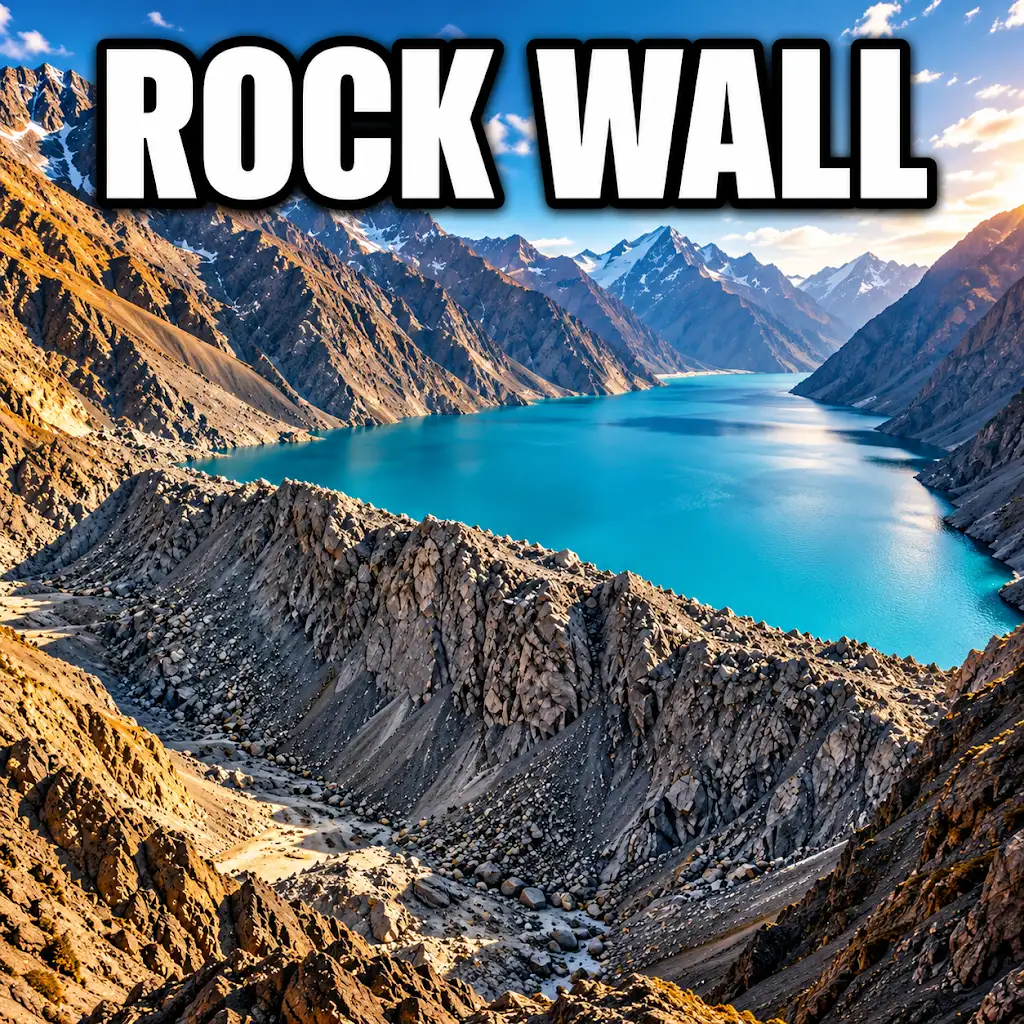
Could a Wave Push Lake Sarez Over This Natural Dam?
FAQs
What is the geological history of Tajikistan?
Tajikistan’s geological history dates back millions of years and includes the formation of the Pamir Mountains, which are part of the collision zone between the Indian and Eurasian tectonic plates.
What are the major geological features of Tajikistan?
Some of the major geological features of Tajikistan include the Pamir Mountains, the Fann Mountains, the Turkestan Range, and the Amu Darya River basin.
How does the geology of Tajikistan contribute to its natural resources?
The geology of Tajikistan contributes to the country’s natural resources by providing deposits of minerals such as gold, silver, lead, zinc, and uranium, as well as potential for hydroelectric power generation from its many rivers and lakes.
What role does tectonic activity play in Tajikistan’s geology?
Tectonic activity plays a significant role in Tajikistan’s geology, as the collision of the Indian and Eurasian plates has led to the uplift of the Pamir Mountains and the formation of numerous faults and earthquakes in the region.
How does the geology of Tajikistan impact its landscape and biodiversity?
The diverse geology of Tajikistan impacts its landscape by creating a variety of ecosystems, from high mountain ranges to fertile river valleys, which in turn support a wide range of plant and animal species, contributing to the country’s biodiversity.