
The Drake Passage, a body of water located between the southern tip of South America and Antarctica, is renowned for its tumultuous seas and unpredictable weather patterns. This narrow stretch of ocean, measuring approximately 800 kilometers (500 miles) wide, serves as a critical conduit for maritime traffic between the Atlantic and Pacific Oceans. Named after the English explorer Sir Francis Drake, who navigated these waters in the late 16th century, the passage has long been a focal point for adventurers, researchers, and commercial vessels alike.
Its unique geographical position not only makes it a vital route for shipping but also a challenging one, as it is often characterized by high winds, large waves, and rapidly changing weather conditions. Navigating the Drake Passage is no small feat. The waters are notorious for their roughness, with waves that can reach heights of over 30 feet during storms.
This unpredictability poses significant risks to vessels traversing the area, making it essential for mariners to employ advanced navigation techniques and technologies. As maritime traffic continues to increase in this region, understanding the complexities of the Drake Passage becomes increasingly important. The integration of satellite technology into navigation practices has emerged as a game-changer, providing mariners with tools to enhance their safety and efficiency while traversing these challenging waters.
Key Takeaways
- The Drake Passage is a treacherous body of water located between South America’s Cape Horn and the South Shetland Islands of Antarctica.
- Navigating the Drake Passage presents numerous challenges due to its unpredictable weather, strong winds, and rough seas.
- Satellite technology plays a crucial role in navigating the Drake Passage by providing real-time weather updates, ice monitoring, and communication capabilities.
- Satellite communication enables ships to stay connected in remote areas, enhancing safety and allowing for efficient coordination during emergencies.
- Satellite navigation systems such as GPS and GLONASS offer precise positioning and navigation, improving overall safety and efficiency in the Drake Passage.
Challenges of Navigating the Drake Passage
The challenges associated with navigating the Drake Passage are multifaceted and can vary significantly depending on the time of year and prevailing weather conditions. One of the most pressing issues is the fierce winds that sweep through the passage, often reaching gale force. These winds can create steep, choppy seas that make it difficult for vessels to maintain stability and control.
Additionally, the confluence of cold Antarctic waters with warmer currents from the north can lead to sudden changes in sea conditions, further complicating navigation efforts. Another significant challenge is the presence of icebergs and sea ice, particularly during the Antarctic summer months. While many vessels are equipped to handle icy conditions, the unpredictability of ice movement poses a constant threat.
Mariners must remain vigilant and utilize all available resources to detect and avoid potential hazards. Furthermore, the remoteness of the Drake Passage means that assistance may not be readily available in case of emergencies, making it imperative for crews to be well-prepared and equipped with reliable navigation tools.
Importance of Satellite Technology in Navigating the Drake Passage
In recent years, satellite technology has revolutionized maritime navigation, particularly in challenging environments like the Drake Passage. The ability to access real-time data regarding weather patterns, sea conditions, and vessel positioning has become indispensable for mariners operating in these treacherous waters. Satellite systems provide comprehensive coverage that allows ships to receive critical information even in remote areas where traditional navigation aids may be lacking.
By integrating satellite data with onboard navigation systems, mariners can make informed decisions based on current conditions rather than relying solely on historical data or visual cues. This capability is particularly crucial in an area known for its rapidly changing weather and sea states.
As a result, satellite technology not only improves navigation efficiency but also significantly enhances safety for vessels traversing this formidable passage.
The Role of Satellite Communication in Navigating the Drake Passage
| Metrics | Data |
|---|---|
| Distance of Drake Passage | 800 kilometers |
| Number of Satellites used for communication | Multiple |
| Reliability of Satellite Communication | High |
| Bandwidth for data transmission | Varies |
| Impact of weather on satellite communication | Minimal |
Satellite communication plays a pivotal role in ensuring safe navigation through the Drake Passage. It enables continuous connectivity between vessels and shore-based support systems, allowing crews to receive updates on weather forecasts, navigational warnings, and other critical information. This constant flow of communication is vital for making timely decisions that can affect a vessel’s course and safety.
In addition to facilitating communication with land-based operations, satellite systems also allow for real-time data sharing among vessels operating in the vicinity. This collaborative approach enhances situational awareness across multiple ships, enabling them to coordinate their movements and avoid potential hazards. The ability to communicate effectively in such a remote and challenging environment is invaluable, as it fosters a sense of community among mariners who share the common goal of safely navigating the Drake Passage.
Satellite Navigation Systems for Navigating the Drake Passage
Several satellite navigation systems are available to assist mariners in safely traversing the Drake Passage. The Global Positioning System (GPS) is perhaps the most widely recognized and utilized system, providing accurate positioning data that is essential for navigation. GPS technology allows vessels to determine their exact location with remarkable precision, enabling them to plot safe courses through the often-turbulent waters of the passage.
In addition to GPS, other satellite-based systems such as GLONASS (Russia), Galileo (European Union), and BeiDou (China) offer complementary services that enhance navigational accuracy. These systems work together to provide redundancy and improve reliability, ensuring that mariners have access to accurate positioning information even in challenging conditions. The integration of multiple satellite navigation systems allows crews to navigate with confidence, knowing they have access to a wealth of data that can guide them safely through one of the world’s most formidable maritime routes.
Advantages of Using Satellite Technology in Navigating the Drake Passage
The advantages of utilizing satellite technology in navigating the Drake Passage are numerous and significant. One of the primary benefits is enhanced accuracy in positioning and navigation. With access to real-time data from multiple satellite systems, mariners can pinpoint their location with exceptional precision, reducing the risk of navigational errors that could lead to dangerous situations.
Additionally, satellite technology provides critical information about weather patterns and sea conditions. Mariners can receive up-to-date forecasts and alerts about impending storms or rough seas, allowing them to adjust their routes accordingly. This proactive approach not only improves safety but also enhances operational efficiency by enabling vessels to avoid adverse conditions whenever possible.
The ability to make informed decisions based on real-time data is a game-changer for those navigating the unpredictable waters of the Drake Passage.
How Satellite Technology Improves Safety in Navigating the Drake Passage
Safety is paramount when navigating the Drake Passage, and satellite technology plays a crucial role in enhancing maritime safety measures. By providing real-time information about weather conditions, sea states, and potential hazards such as icebergs or other vessels, satellite systems empower crews to make informed decisions that prioritize safety. Moreover, satellite communication allows for constant connectivity between vessels and shore-based support teams.
In emergencies or unexpected situations, crews can quickly reach out for assistance or guidance, ensuring that help is available when needed most. This level of connectivity fosters a culture of safety within maritime operations, as crews are equipped with the tools necessary to respond effectively to challenges that may arise during their journey through the passage.
Case Studies of Successful Navigations Using Satellite Technology in the Drake Passage
Numerous case studies illustrate the successful application of satellite technology in navigating the Drake Passage. One notable example involves a research vessel conducting scientific studies in Antarctic waters. Equipped with advanced satellite navigation systems and communication tools, the crew was able to monitor real-time weather changes and adjust their course accordingly.
This adaptability allowed them to complete their research mission safely while avoiding hazardous conditions that could have jeopardized their safety. Another case study highlights a commercial shipping vessel that encountered unexpected severe weather while transiting the Drake Passage. Thanks to its satellite communication capabilities, the crew received timely updates about approaching storms and was able to reroute their journey to avoid dangerous conditions.
This proactive decision-making not only ensured the safety of the crew but also protected valuable cargo from potential damage.
Future Developments in Satellite Technology for Navigating the Drake Passage
As technology continues to advance at a rapid pace, future developments in satellite technology promise to further enhance navigation capabilities in challenging environments like the Drake Passage.
Additionally, emerging technologies such as artificial intelligence (AI) may play a significant role in optimizing navigation strategies based on real-time data analysis.
By leveraging AI algorithms, mariners could receive personalized recommendations for safe routes based on current conditions and historical data patterns. These advancements hold great potential for improving safety and efficiency in navigating one of the world’s most formidable maritime passages.
Tips for Navigating the Drake Passage Using Satellite Technology
For mariners preparing to navigate the Drake Passage using satellite technology, several tips can enhance their experience and ensure safety throughout their journey. First and foremost, it is essential to familiarize oneself with available satellite navigation systems and communication tools before setting sail. Understanding how these technologies work will enable crews to utilize them effectively during their voyage.
Additionally, staying informed about weather patterns and sea conditions is crucial. Regularly checking satellite-based weather forecasts can help mariners anticipate changes and make informed decisions about their routes. It is also advisable to maintain open lines of communication with other vessels operating in the area; sharing information about current conditions can enhance situational awareness for all involved.
The Future of Navigating the Drake Passage with Satellite Technology
The future of navigating the Drake Passage is undoubtedly intertwined with advancements in satellite technology. As maritime traffic continues to grow in this challenging region, leveraging innovative tools will be essential for ensuring safe and efficient passage through its turbulent waters. The integration of real-time data from satellite systems not only enhances navigational accuracy but also fosters a culture of safety among mariners.
As technology evolves, so too will the capabilities available to those navigating this formidable passage. With ongoing developments in satellite communication and navigation systems on the horizon, mariners can look forward to an increasingly secure future as they traverse one of nature’s most awe-inspiring yet challenging maritime routes. The continued investment in satellite technology will undoubtedly pave the way for safer journeys across the Drake Passage for generations to come.
The Drake Passage, a crucial waterway connecting the Atlantic and Pacific Oceans, has long been a subject of interest for scientists and navigators alike. Recent advancements in satellite technology have provided new insights into the dynamic ocean currents and weather patterns of this region. For those interested in exploring more about the geographical significance and scientific studies related to the Drake Passage, you can find additional information on the MyGeoQuest sample page, which offers a wealth of resources and articles on similar topics.
WATCH NOW! Drake Passage: Earth’s Deadliest Waters Revealed
FAQs
What is the Drake Passage?
The Drake Passage is the body of water between the southern tip of South America and the northern tip of the Antarctic Peninsula. It is known for its rough seas and strong winds, making it a challenging area for navigation.
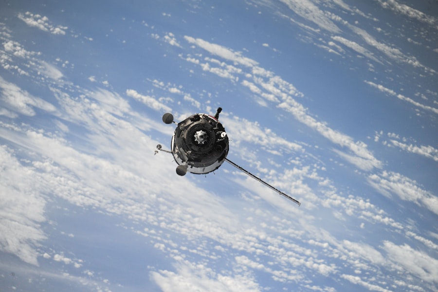
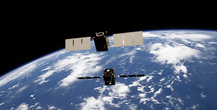
What is a Drake Passage satellite?
A Drake Passage satellite is a satellite that is used to monitor and study the weather and ocean conditions in the Drake Passage. These satellites provide valuable data for understanding the dynamics of this remote and important region.
Why is it important to study the Drake Passage?
Studying the Drake Passage is important because it plays a crucial role in the global climate system. The passage is a key area for the exchange of water, heat, and nutrients between the Atlantic, Pacific, and Southern Oceans, which has a significant impact on the Earth’s climate.
How do Drake Passage satellites work?
Drake Passage satellites use various instruments, such as radar and sensors, to collect data on sea surface temperature, ocean currents, wind patterns, and other environmental factors. This data is then transmitted back to Earth for analysis by scientists.
What are the benefits of using Drake Passage satellites?
Using satellites to study the Drake Passage allows scientists to gather data over a large and remote area that would be difficult to access by other means. This data is crucial for understanding the complex interactions that occur in this region and for improving climate and weather models.