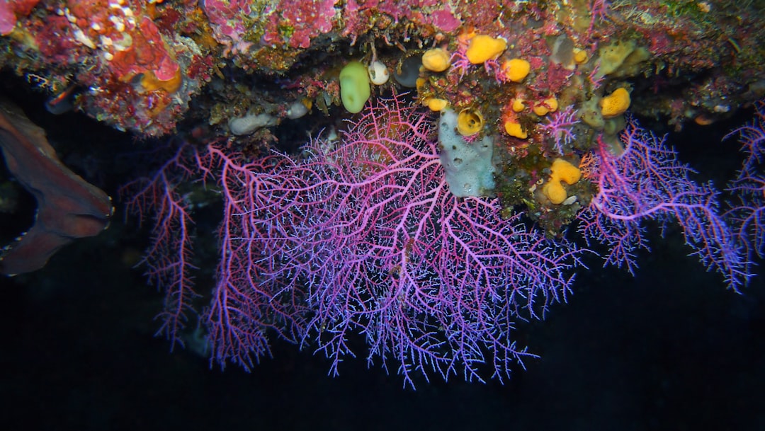
Seabed morphology refers to the study of the physical features and structures found on the ocean floor. This field encompasses a wide range of characteristics, including the shape, composition, and arrangement of various geological formations. Understanding seabed morphology is crucial for numerous applications, such as marine navigation, resource exploration, and environmental conservation.
The ocean floor is not a uniform surface; rather, it is a complex landscape shaped by various geological processes over millions of years. From underwater mountains and valleys to sedimentary plains and volcanic ridges, the seabed presents a diverse array of features that can significantly impact marine ecosystems and human activities. The significance of seabed morphology extends beyond mere academic interest.
It plays a vital role in understanding geological hazards, which can pose risks to both human life and infrastructure. By studying the seabed’s features, scientists and engineers can better predict and mitigate the effects of natural disasters such as tsunamis, underwater landslides, and earthquakes. As human activities continue to expand into marine environments, the need for comprehensive knowledge of seabed morphology becomes increasingly important.
This understanding not only aids in safe navigation but also informs sustainable practices in marine resource management.
Key Takeaways
- Seabed morphology varies widely and influences the occurrence of geological hazards.
- Identifying and mapping seabed features are crucial for assessing potential geological risks.
- Advanced technology plays a key role in safely navigating complex seabed terrains.
- Implementing regulations and guidelines helps mitigate the impact of geological hazards.
- Case studies provide valuable insights into effective strategies for managing seabed-related risks.
Understanding Geological Hazards
Geological hazards are natural events that can cause significant damage to life, property, and the environment. These hazards include earthquakes, tsunamis, landslides, and volcanic eruptions, among others. Each of these phenomena is influenced by geological processes that occur beneath the Earth’s surface.
For instance, earthquakes are often triggered by the movement of tectonic plates, while tsunamis can result from underwater seismic activity. Understanding these hazards requires a multidisciplinary approach that combines geology, oceanography, and engineering. The impact of geological hazards can be devastating.
Coastal communities are particularly vulnerable to tsunamis and storm surges, which can lead to loss of life and extensive property damage. Similarly, underwater landslides can disrupt marine ecosystems and pose risks to shipping routes. By studying the geological processes that give rise to these hazards, researchers can develop models to predict their occurrence and assess their potential impact.
This knowledge is essential for disaster preparedness and response strategies, enabling communities to better protect themselves against the unpredictable forces of nature.
Types of Seabed Morphology
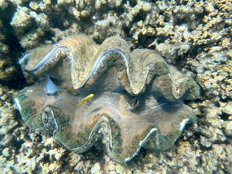
Seabed morphology encompasses a variety of features that can be classified into several categories. One prominent type is the continental shelf, which is the submerged extension of a continent. Continental shelves are typically characterized by shallow waters and gentle slopes, making them rich in biodiversity and resources.
These areas are often prime locations for fishing and oil exploration due to their nutrient-rich waters and accessible geological formations. Another significant type of seabed morphology is the abyssal plain, which represents the deep-sea floor characterized by flat, featureless expanses. Abyssal plains are found at depths ranging from 3,000 to 6,000 meters and are often covered with fine sediments that have settled over time.
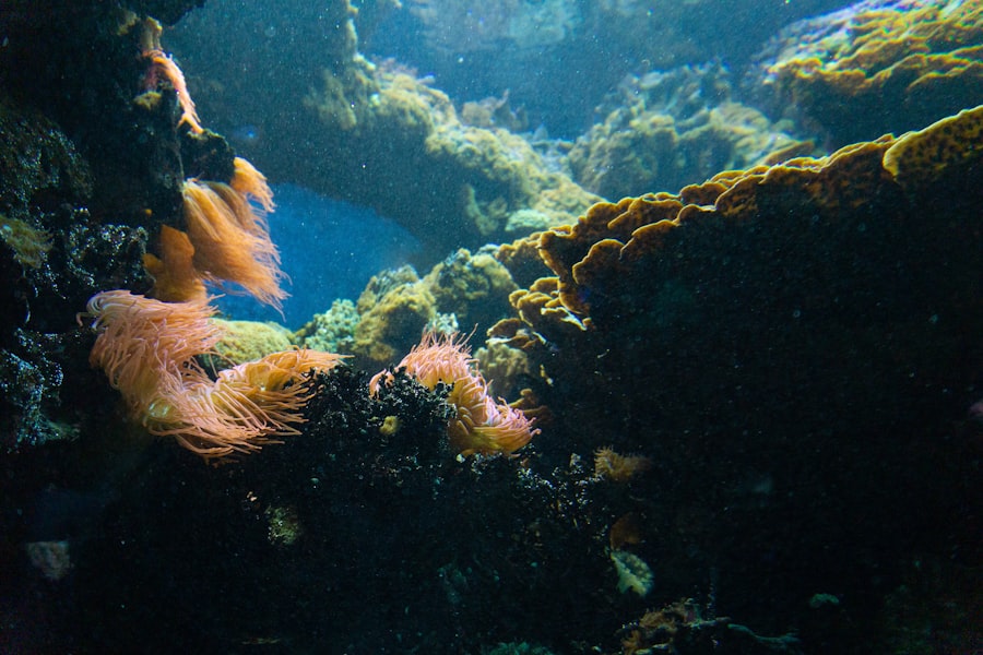
These regions are home to unique ecosystems that thrive in extreme conditions, showcasing the adaptability of life in the deep ocean. Additionally, features such as seamounts—underwater mountains formed by volcanic activity—add complexity to the seabed landscape. These structures can serve as important habitats for marine life and play a role in ocean circulation patterns.
Identifying Geological Hazards
Identifying geological hazards involves a combination of field studies, remote sensing technologies, and data analysis. Researchers utilize various methods to monitor seismic activity, underwater landslides, and other geological phenomena. For instance, seismographs are deployed in strategic locations to detect and record earthquake activity.
This data is crucial for understanding the frequency and intensity of seismic events in a given region. Remote sensing technologies, such as sonar mapping and satellite imagery, also play a vital role in identifying geological hazards. Sonar systems can create detailed maps of the seabed, revealing features such as fault lines and underwater landslides that may pose risks to navigation and infrastructure.
By analyzing these maps alongside historical data on geological events, scientists can identify patterns that may indicate potential hazards. This proactive approach allows for better preparedness and risk management strategies in vulnerable coastal areas.
Mapping Seabed Morphology
| Metric | Description | Typical Values | Relevance to Geological Hazards |
|---|---|---|---|
| Seafloor Slope Angle | Angle of inclination of the seabed surface | 0° to 30° (steeper on continental slopes) | Steeper slopes are prone to submarine landslides and sediment slumping |
| Seabed Sediment Type | Composition of seabed materials (sand, mud, clay, gravel) | Varies by region; e.g., clay (fine-grained), sand (coarse-grained) | Fine sediments can liquefy during seismic events, increasing hazard risk |
| Fault Density | Number of active faults per square kilometer | 0 to >5 faults/km² in tectonically active zones | High fault density increases earthquake and tsunami risk |
| Seafloor Roughness | Variability in seabed elevation over short distances | Low to high roughness (measured by rugosity index) | High roughness may indicate tectonic activity or past landslides |
| Gas Hydrate Presence | Concentration of methane hydrates within seabed sediments | 0 to >10% volume in sediment pore space | Destabilization can trigger submarine landslides and methane release |
| Submarine Landslide Frequency | Number of landslide events per century | Varies widely; some regions >1 event/decade | Direct cause of tsunamis and seabed morphology changes |
| Seismic Activity Level | Number of earthquakes per year with magnitude >4.0 | 0 to >100 in active zones | Triggers sediment destabilization and seabed deformation |
Mapping seabed morphology is essential for understanding the complex features of the ocean floor. Various techniques are employed to create accurate representations of seabed structures, including multibeam sonar systems and LiDAR (Light Detection and Ranging) technology. Multibeam sonar systems emit sound waves that bounce off the seabed, allowing researchers to generate high-resolution maps of underwater topography.
These maps provide valuable insights into the distribution of geological features and help identify areas prone to hazards. In addition to sonar mapping, satellite altimetry has emerged as a powerful tool for studying seabed morphology on a larger scale. By measuring variations in sea surface height caused by underwater topography, scientists can infer the presence of features such as seamounts and ridges.
The integration of these mapping technologies enhances our understanding of seabed morphology and its implications for geological hazard assessment.
Assessing Geological Hazards
Assessing geological hazards involves evaluating the potential risks associated with specific geological features or events. This process typically includes analyzing historical data on past events, conducting field studies to gather current information, and utilizing modeling techniques to predict future occurrences. For example, researchers may study past earthquake activity in a region to determine its seismic risk level and identify areas that may be more susceptible to future events.
Risk assessment also considers factors such as population density, infrastructure vulnerability, and environmental impacts. By integrating these elements into hazard assessments, scientists can provide valuable information to policymakers and emergency management agencies. This information is crucial for developing effective disaster response plans and implementing mitigation strategies that protect communities from potential threats.
Mitigating Geological Hazards
Mitigating geological hazards requires a multifaceted approach that combines engineering solutions with community preparedness initiatives. One common strategy is the construction of protective infrastructure, such as seawalls or levees, designed to shield coastal areas from storm surges and tsunamis. These structures can help reduce the impact of natural disasters on vulnerable populations and critical infrastructure.
In addition to physical barriers, public education plays a vital role in hazard mitigation. Communities must be informed about potential risks and equipped with knowledge on how to respond during emergencies. This includes developing evacuation plans, conducting drills, and providing resources for residents to prepare their homes for potential hazards.
Technology for Navigating Seabed Morphology
Advancements in technology have revolutionized the way researchers navigate and study seabed morphology. Autonomous underwater vehicles (AUVs) equipped with sophisticated sensors are now commonly used for mapping underwater landscapes. These vehicles can operate in challenging environments where human divers cannot safely venture, allowing for detailed exploration of remote or hazardous areas.
Additionally, advancements in data processing software have improved the analysis of seabed mapping data. Geographic Information Systems (GIS) enable researchers to visualize complex datasets and identify patterns that may not be immediately apparent through traditional analysis methods. This technology facilitates better decision-making regarding marine resource management and hazard assessment by providing comprehensive insights into seabed morphology.
Case Studies of Geological Hazards
Case studies provide valuable insights into the real-world implications of geological hazards on communities and ecosystems. One notable example is the 2004 Indian Ocean tsunami, which was triggered by a massive undersea earthquake off the coast of Sumatra. The tsunami caused widespread devastation across multiple countries, highlighting the importance of understanding seismic activity in relation to coastal hazards.
Another significant case study involves underwater landslides along continental slopes, which have been linked to increased sedimentation rates due to human activities such as dredging or construction near coastlines. These landslides can disrupt marine ecosystems and pose risks to shipping routes. By examining these case studies, researchers can identify lessons learned and develop strategies for improving hazard preparedness in similar contexts.
Regulations and Guidelines for Navigating Seabed Morphology
Navigating seabed morphology is governed by various regulations and guidelines aimed at ensuring safety and environmental protection. International agreements such as the United Nations Convention on the Law of the Sea (UNCLOS) establish frameworks for managing marine resources and protecting vulnerable ecosystems from harmful activities. National regulations also play a crucial role in guiding seabed exploration and development activities.
These regulations often require environmental impact assessments before any significant projects can proceed, ensuring that potential risks are thoroughly evaluated. By adhering to these guidelines, stakeholders can minimize their impact on marine environments while promoting sustainable practices in seabed navigation.
Best Practices for Navigating Seabed Morphology
Navigating seabed morphology requires a comprehensive understanding of geological features and associated hazards. Best practices involve utilizing advanced mapping technologies, conducting thorough risk assessments, and implementing effective mitigation strategies to protect communities from potential threats. Collaboration among scientists, policymakers, and local communities is essential for fostering resilience against geological hazards.
Furthermore, ongoing research into seabed morphology will continue to enhance our understanding of these complex environments. As human activities expand into marine spaces, prioritizing sustainable practices will be crucial for preserving marine ecosystems while ensuring safe navigation through these dynamic landscapes. By embracing innovation and fostering collaboration across disciplines, society can better navigate the challenges posed by seabed morphology while safeguarding both human life and the environment.
Seabed morphology plays a crucial role in understanding geological hazards, as variations in the seabed can influence the occurrence and impact of events such as underwater landslides and tsunamis. For a deeper insight into this topic, you can explore the article on geological hazards related to seabed morphology at