The Mississippi River, a mighty artery of North America, has, for millennia, been a dynamic force shaping the very landscape of the United States. Its course, however, is not an immutable decree etched in stone, but rather a story of constant evolution, driven by the immense power of water and sediment. One of the most dramatic chapters in this ongoing narrative is the natural phenomenon of the Mississippi River jump to the Atchafalaya River, a process that has occurred repeatedly throughout geological history and continues to be a critical element in managing the river’s flow today. Understanding this natural shift is crucial to appreciating the forces that sculpt continents and the ingenuity required to coexist with such powerful natural processes.
The Mississippi River, as it flows southward, carries an immense burden of sediment picked up from its vast watershed. This sediment, a gritty inheritance from upstream erosion, is the river’s constant companion. As the river approaches the Gulf of Mexico, its gradient, or the steepness of its slope, begins to lessen dramatically. Imagine a runner, fueled by the momentum of a long race, suddenly finding themselves on a flat plain. Their energy, once focused on descending, now seeks the path of least resistance. Similarly, the Mississippi, carrying its sediment load, has a natural inclination to seek the shortest and steepest path to the sea.
The Role of Gradient and Sediment Load
The prevailing gradient of the Mississippi River dictates its flow. Downstream, the land flattens, and the river’s energy is dissipated over a wider, shallower area. However, the river’s sediment load is a crucial factor that disrupts this equilibrium. As the river slows, it drops some of its sediment, building up its own bed and banks. This process of aggradation, the accumulation of sediment, can effectively raise the river’s elevation relative to the surrounding floodplain. Over time, this can make a lower, more direct pathway to the sea an increasingly attractive alternative.
The Atchafalaya Basin: A Natural Bypass
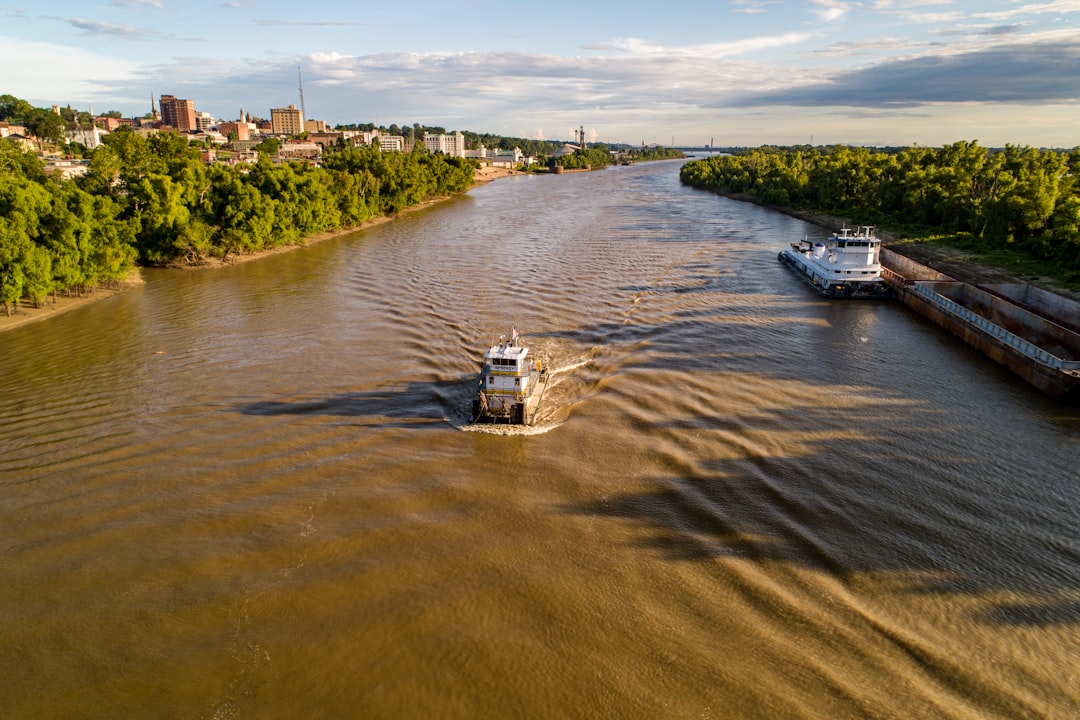
The Atchafalaya Basin, a vast and complex wetland system in south-central Louisiana, lies southwest of the Mississippi’s current main channel. It is, in essence, a natural drainage basin that has always been a potential outlet for the Mississippi River. The land within the Atchafalaya Basin is generally lower than the Mississippi’s present-day levee system in that region, offering a more direct route to the Gulf of Mexico. The Atchafalaya River itself is a distributary—a smaller river flowing out of a larger one—that already receives a portion of the Mississippi’s flow, particularly during periods of high water.
The Mississippi River’s dynamic flow and its connection to the Atchafalaya Basin have been the subject of extensive research and discussion. For those interested in exploring this fascinating topic further, you can read an insightful article that delves into the implications of the river’s potential jump to the Atchafalaya. This article provides a comprehensive overview of the geological and environmental factors at play. To learn more, visit this link.
Historical Occurrences of the Mississippi River Jump
The concept of the Mississippi “jumping” to the Atchafalaya is not a hypothetical scenario; it is a recurring geological event. These shifts have dramatically altered the course of major rivers throughout history and provide a stark reminder of nature’s immense power. The Mississippi, a hydrological titan, has not always followed its present path.
The Last Major Jump: A Testament to Natural Forces
The most significant and well-documented jump of the Mississippi River to the Atchafalaya occurred approximately 1,000 years ago. Prior to this event, the Mississippi River flowed more directly eastward in Louisiana before emptying into the Gulf of Mexico. This shift was not a sudden, cataclysmic event in human terms, but rather a gradual process that unfolded over centuries, driven by the relentless deposition of sediment.
The Sediment Accretion Hypothesis
At the heart of the last major jump lies the theory of sediment accretion. As the Mississippi River flowed, it deposited vast quantities of sand and silt, particularly in its lower reaches. This accumulation raised the riverbed. Simultaneously, the Atchafalaya Basin offered a lower elevation and a more direct path. As the Mississippi’s bed rose, it encountered the higher ground that defined its historical channel. The Atchafalaya, with its more favorable gradient and capacity to accept water, became an increasingly dominant distributary. Gradually, more and more of the Mississippi’s flow was diverted into the Atchafalaya River.
The Impact on Drainage Patterns
The consequences of this natural diversion were profound. The old channel of the Mississippi River, starved of its main source of water, gradually diminished. The Atchafalaya River, conversely, swelled, carrying an increasing volume of water. This shift fundamentally altered drainage patterns in the region, creating new wetlands, changing ecological balances, and influencing human settlement patterns in the millennia that followed.
Evidence from Geological Records
Geologists and geomorphologists have pieced together the story of these ancient river jumps by examining various geological records. The evidence is etched into the landscape itself, like ancient scars on the face of the earth.
Paleochannel Identification
By studying satellite imagery, aerial photographs, and conducting ground surveys, scientists can identify “paleochannels”—the abandoned courses of former rivers. These buried or partially filled riverbeds provide tangible evidence of where the Mississippi once flowed. The extensive network of ancient Mississippi River channels found in Louisiana is a testament to its restless nature.
Sediment Stratigraphy
Analyzing the layers of sediment (stratigraphy) in core samples taken from the ground can also reveal the history of river activity. Different sediment types and their arrangement can indicate periods of deposition from the Mississippi versus other river systems, or periods of stagnant water in former channels. The composition of these layers acts like pages in a history book, each telling a story of different hydrological regimes.
The Atchafalaya Basin: A Modern Conundrum
In the present day, the natural tendency of the Mississippi River to shift its course to the Atchafalaya Basin remains a potent force, posing a significant challenge for flood control and navigation. Engineers and hydrologists constantly work to manage this natural inclination, recognizing that preventing the shift entirely is a precarious endeavor.
The Engineered Solution: The Old River Control Structure
Following the devastating floods of 1927, which highlighted the vulnerability of the Mississippi River Valley to its own power, significant engineering efforts were undertaken. The most critical of these is the Old River Control Structure, a complex set of dams and spillways located near the point where the Atchafalaya begins to diverge from the Mississippi. This structure serves as the primary guardian against a complete takeover of the Mississippi’s flow by the Atchafalaya.
Functions of the Structure
The Old River Control Structure is designed to regulate the amount of water that flows from the Mississippi into the Atchafalaya. During normal flow conditions, it allows a certain percentage of the Mississippi’s water to pass into the Atchafalaya, maintaining it as a viable waterway. However, during periods of exceptionally high flow in the Mississippi, the structure is engineered to restrict the diversion, preventing the Atchafalaya from being overwhelmed and the Mississippi from entirely abandoning its current course. It is a delicate balancing act, like a seasoned maestro conducting an orchestra, ensuring each instrument plays its part without overpowering the others.
The Challenge of Maintenance and Operation
The constant operation and maintenance of the Old River Control Structure are paramount. The immense forces of water and sediment are unforgiving. Erosion, silting, and structural integrity are ongoing concerns that require continuous monitoring and significant resources. The structure is not a static solution but a dynamic system that must adapt to the river’s ever-changing mood.
The “1/3 Rule”: A Balancing Act
A critical guiding principle in managing the Mississippi-Atchafalaya system is the “1/3 rule.” This rule dictates that approximately one-third of the Mississippi River’s flow, when it reaches the Old River, should be allowed to go into the Atchafalaya Basin, with the remaining two-thirds continuing down the main Mississippi channel. This proportion is considered optimal for maintaining both the health of the Atchafalaya Basin’s ecosystem and the navigability of the lower Mississippi.
Ecological Considerations
The Atchafalaya Basin is a vast and ecologically rich wetland, home to diverse plant and animal life. The regulated flow from the Mississippi is essential for maintaining the basin’s hydrological balance and supporting its unique ecosystems. Without this managed diversion, the Atchafalaya Basin could dry out, with devastating consequences for its biodiversity.
Navigational Requirements
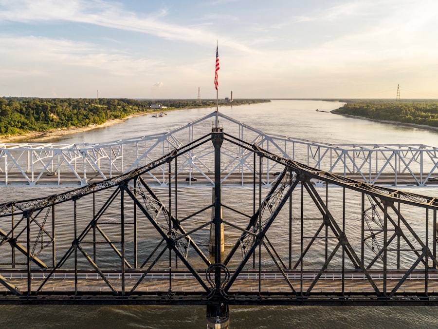
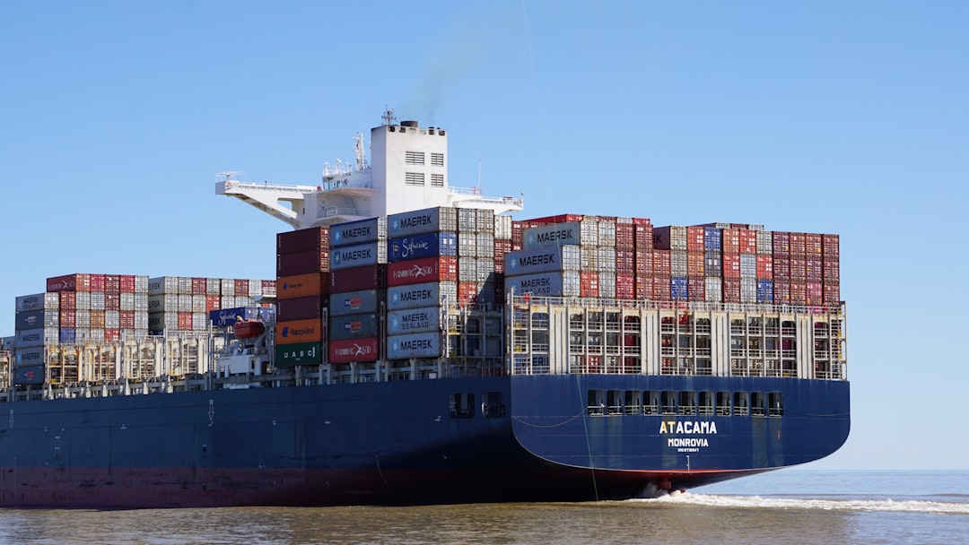
The lower Mississippi River, a vital artery for shipping and commerce, requires a certain minimum flow to maintain navigable depths. The 1/3 rule ensures that enough water remains in the main channel to support this crucial economic activity.
The Future of the Mississippi-Atchafalaya System
The natural phenomenon of the Mississippi River jump to the Atchafalaya is not a relic of the past; it is an ongoing reality that necessitates continued vigilance and adaptation. The forces of nature are relentless, and human interventions, while necessary, are ultimately attempts to guide, not to conquer.
The Inherent Instability of River Systems
River systems, by their very nature, are dynamic and prone to change. Sediment transport, erosion, and avulsion (the process by which a river abandons its old course for a new one) are natural processes that have shaped the Earth’s surface for millions of years. The Mississippi, like all great rivers, is engaged in a continuous dialogue with its landscape, and this dialogue will inevitably lead to shifts in its course over geological timescales. The river is a living entity, constantly reshaping its form.
The Ongoing Threat of Avulsion
Despite the engineering marvels at Old River, the threat of a complete avulsion, where the Mississippi River permanently abandons its current channel for the Atchafalaya, remains. The forces that drove the historical jumps are still at play. Increased sediment loads, changes in rainfall patterns due to climate change, or even seismic activity could, in theory, tip the balance. The engineers’ job is to keep the river on its designated path, a task akin to keeping a mountain goat from straying from a narrow ledge.
The Mississippi River’s potential to jump to the Atchafalaya Basin has been a topic of significant interest among geographers and environmentalists. This phenomenon, often referred to as river avulsion, could dramatically alter the landscape and ecology of the region. For more insights into this fascinating subject, you can read a related article that delves into the implications of such a shift by visiting this link. Understanding the dynamics of these waterways is crucial for predicting future changes and managing the surrounding ecosystems effectively.
Conclusion: A Symbiotic Dance with Nature
| Metric | Value | Description |
|---|---|---|
| Location | Mississippi River to Atchafalaya River, Louisiana | Geographic area where the river jump is occurring |
| Distance of River Jump | Approximately 150 miles | Length of the river course being diverted |
| Flow Diversion Percentage | Currently ~30% | Percentage of Mississippi River flow diverted into Atchafalaya |
| Historical Flow Diversion | Less than 10% (pre-1950s) | Flow diversion before major flood control structures |
| Control Structure | Old River Control Structure | Man-made structure to regulate flow between rivers |
| Risk of Uncontrolled Jump | Moderate to High | Likelihood of Mississippi River changing course naturally |
| Impact on Navigation | Significant if jump occurs | Potential disruption to shipping and commerce |
| Environmental Impact | Altered ecosystems and sediment distribution | Changes in habitats along both river systems |
| Flood Control Measures | Levees, Spillways, and Control Structures | Infrastructure to manage river flow and prevent jump |
The Mississippi River’s propensity to shift its course to the Atchafalaya Basin is a powerful illustration of natural forces at work. It underscores the dynamic nature of our planet and the intricate relationships between water, land, and sediment. For centuries, humankind has sought to tame and control rivers, but the Mississippi-Atchafalaya system serves as a potent reminder that understanding and working with these natural processes is often the most effective—and sometimes the only—path to long-term coexistence. The ongoing management of this hydrological phenomenon is a testament to both the power of nature and the ingenuity of humanity in attempting to harmonize with its grand designs.
WATCH NOW ▶️ SHOCKING: Mississippi: The $12 Trillion Lie Revealed
FAQs
What is the Mississippi River jump to the Atchafalaya?
The Mississippi River jump to the Atchafalaya refers to a natural process where the main flow of the Mississippi River shifts its course from the current channel to the Atchafalaya River, a shorter and steeper path to the Gulf of Mexico.
Why is the Mississippi River jump to the Atchafalaya significant?
This event is significant because it would drastically change the flow of water, sediment, and nutrients in the region, impacting navigation, ecosystems, and communities along both rivers. It could also affect the economy, especially the port of New Orleans.
Has the Mississippi River ever jumped to the Atchafalaya before?
Yes, the Mississippi River has naturally shifted its course to the Atchafalaya multiple times over geological history. The current concern is about a potential future shift, which is being monitored and managed.
What measures are in place to prevent the Mississippi River from jumping to the Atchafalaya?
The U.S. Army Corps of Engineers operates the Old River Control Structure, a system of dams and levees designed to regulate the flow between the Mississippi and Atchafalaya Rivers to prevent the Mississippi from changing course.
What would be the environmental impact if the Mississippi River jumps to the Atchafalaya?
If the river jumps, it could lead to significant changes in wetland ecosystems, sediment distribution, and fish habitats. Some areas might experience increased flooding, while others could see reduced water flow, affecting wildlife and human activities.