The Camarinal Sill, a prominent underwater geological feature located in the Strait of Gibraltar, serves as a critical juncture between the Atlantic Ocean and the Mediterranean Sea. This underwater ridge plays a significant role in shaping the oceanographic dynamics of the region, influencing both marine ecosystems and global ocean currents. The sill’s unique characteristics and its strategic position have made it a focal point for scientific research, drawing the attention of oceanographers, geologists, and marine biologists alike.
As a natural barrier, the Camarinal Sill not only affects water exchange between two major bodies of water but also serves as a habitat for diverse marine life. Understanding the Camarinal Sill is essential for comprehending broader oceanographic processes. Its formation and geological composition provide insights into the Earth’s tectonic history and the evolution of marine environments.
The sill’s significance extends beyond its physical attributes; it is a vital component of the ecological balance in the region, influencing nutrient distribution and marine biodiversity. As researchers continue to explore this underwater feature, they uncover new layers of complexity that highlight the interconnectedness of geological and biological systems.
Key Takeaways
- The Camarinal Sill is a key underwater geological feature influencing ocean currents between the Atlantic Ocean and the Mediterranean Sea.
- Its formation is linked to tectonic activity, shaping the unique geology of the Strait of Gibraltar region.
- The sill plays a crucial role in marine ecosystems, supporting diverse marine life adapted to its environment.
- Advanced exploration techniques, including sonar mapping and submersibles, have enhanced understanding of its underwater geology.
- Ongoing research and conservation efforts aim to protect the Camarinal Sill while expanding knowledge of its impact on oceanography and marine biodiversity.
Formation and Geology of the Camarinal Sill
The formation of the Camarinal Sill is a fascinating tale of geological processes that span millions of years. It is primarily composed of limestone and other sedimentary rocks, which have been shaped by tectonic activity and erosion over time. The sill emerged as a result of the collision between the African and Eurasian tectonic plates, a process that has created various geological formations throughout the Mediterranean region.
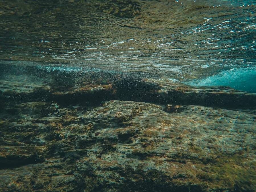
This tectonic activity has not only contributed to the sill’s current structure but has also influenced the surrounding seabed, leading to a complex interplay of geological features. Geologically, the Camarinal Sill is characterized by its relatively shallow depth compared to the surrounding oceanic basins. This shallowness creates a unique environment where different water masses converge, leading to distinct thermal and salinity gradients.
The sill acts as a barrier that restricts deep water exchange between the Atlantic and Mediterranean, resulting in unique hydrographic conditions. These geological characteristics are crucial for understanding how ocean currents behave in this region and how they impact marine ecosystems.
Importance of the Camarinal Sill in Oceanography
The Camarinal Sill holds immense importance in oceanographic studies due to its role in regulating water exchange between two major bodies of water. The sill acts as a gatekeeper, controlling the flow of Atlantic waters into the Mediterranean Sea while simultaneously influencing the outflow of Mediterranean waters back into the Atlantic. This exchange is vital for maintaining the salinity and temperature balance in both seas, which in turn affects global ocean circulation patterns.
Moreover, the sill’s influence extends beyond mere water exchange; it plays a crucial role in nutrient distribution within these waters. The mixing of different water masses at the sill creates areas rich in nutrients, which are essential for supporting marine life. Understanding these processes is fundamental for oceanographers who seek to comprehend how changes in climate and human activity may impact marine ecosystems.
The Camarinal Sill serves as a natural laboratory for studying these dynamics, providing valuable data that can inform conservation efforts and policy decisions.
Marine Life around the Camarinal Sill
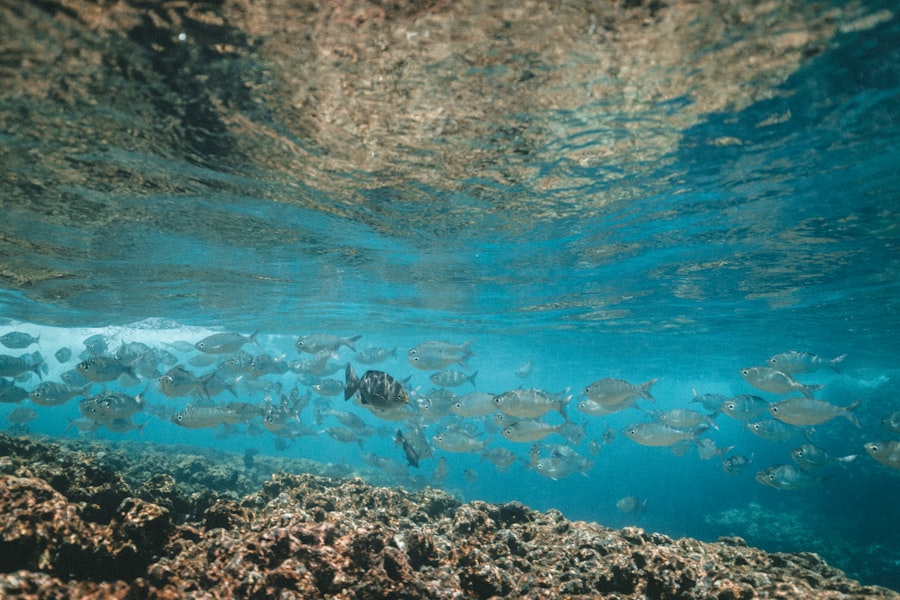
The marine life surrounding the Camarinal Sill is as diverse as it is abundant, thanks in large part to the unique environmental conditions created by this underwater feature. The mixing of Atlantic and Mediterranean waters fosters a rich habitat for various species, including fish, mollusks, and crustaceans. This biodiversity is not only vital for maintaining ecological balance but also supports local fisheries that rely on these resources for their livelihoods.
In addition to commercially important species, the area around the Camarinal Sill is home to numerous endemic organisms that thrive in its specific conditions. The presence of underwater structures such as reefs and rocky outcrops provides shelter and breeding grounds for many marine species. Researchers have documented various habitats ranging from seagrass meadows to deep-sea corals, each supporting unique communities of organisms.
The ecological significance of this area cannot be overstated; it serves as a critical refuge for many species facing threats from overfishing and climate change.
Exploration Techniques for Studying the Underwater Geology
| Parameter | Value | Unit | Description |
|---|---|---|---|
| Location | Camarinal Sill | – | Strait between the Atlantic Ocean and the Mediterranean Sea |
| Depth | 280 | meters | Maximum sill depth below sea level |
| Geological Composition | Carbonate and Siliciclastic Rocks | – | Main rock types forming the sill |
| Age | Miocene to Pliocene | Million years | Geological age of the sill formation |
| Seismic Velocity | 3.5 – 4.2 | km/s | Range of P-wave velocities in sill sediments |
| Thickness | 50 – 150 | meters | Thickness of sedimentary layers over the sill |
| Salinity Gradient | 35 – 38 | PSU (Practical Salinity Units) | Salinity variation across the sill |
| Current Velocity | 1.2 | m/s | Average water current speed over the sill |
Studying the underwater geology of the Camarinal Sill requires advanced exploration techniques that can capture its complex features accurately. Researchers employ a combination of remote sensing technologies, such as sonar mapping and satellite imagery, alongside traditional methods like sediment sampling and underwater photography. These techniques allow scientists to create detailed maps of the seabed, revealing intricate geological formations that would otherwise remain hidden beneath the waves.
In addition to mapping techniques, submersibles and remotely operated vehicles (ROVs) play a crucial role in exploring the sill’s depths. These advanced tools enable researchers to collect samples from hard-to-reach areas while capturing high-resolution images of marine life and geological structures. By combining these various methods, scientists can gain a comprehensive understanding of the Camarinal Sill’s geology and its implications for oceanographic processes.
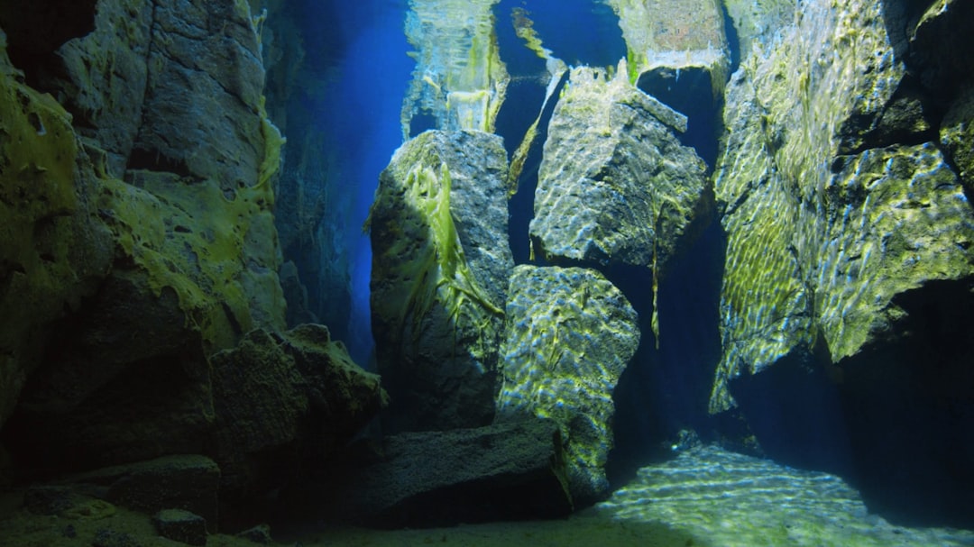
Unique Features of the Camarinal Sill
The Camarinal Sill boasts several unique features that set it apart from other underwater geological formations. One of its most notable characteristics is its relatively shallow depth compared to surrounding areas, which creates distinct hydrological conditions that influence local marine ecosystems.
Another remarkable aspect of the Camarinal Sill is its role as a natural barrier that affects water circulation patterns in both the Atlantic Ocean and Mediterranean Sea. This barrier creates distinct thermal stratification, leading to variations in temperature and salinity that can significantly impact marine life. Additionally, the sill’s geological composition includes various rock types that provide essential nutrients for marine organisms, further enhancing its ecological significance.
Impact of the Camarinal Sill on Ocean Currents
The impact of the Camarinal Sill on ocean currents is profound and multifaceted. As a physical barrier, it influences how water masses move between the Atlantic Ocean and Mediterranean Sea, creating distinct current patterns that affect regional climate and weather systems. The sill restricts deep-water flow while allowing surface currents to interact more freely, leading to complex mixing processes that are essential for nutrient distribution.
These current dynamics are crucial for understanding broader oceanographic phenomena such as thermohaline circulation, which plays a significant role in regulating global climate patterns. The interaction between Atlantic inflow and Mediterranean outflow at the sill creates areas of upwelling and downwelling that are vital for sustaining marine ecosystems. By studying these currents, researchers can gain insights into how changes in temperature or salinity may impact marine life and overall ocean health.
Research and Discoveries around the Camarinal Sill
Research around the Camarinal Sill has yielded numerous discoveries that enhance our understanding of underwater geology and marine ecosystems. Scientists have conducted extensive studies on sedimentation patterns, revealing how materials accumulate over time due to varying current dynamics. These findings provide valuable insights into historical climate changes and their effects on marine environments.
Additionally, ongoing research has uncovered new species and habitats within this region, highlighting its ecological significance. The discovery of previously unknown organisms emphasizes the importance of continued exploration in understanding biodiversity hotspots like the Camarinal Sill. Such findings not only contribute to scientific knowledge but also underscore the need for conservation efforts to protect these fragile ecosystems from human-induced threats.
Environmental Conservation Efforts around the Camarinal Sill
Given its ecological importance, environmental conservation efforts around the Camarinal Sill have become increasingly vital. Various organizations and governmental bodies are working collaboratively to implement measures aimed at protecting this unique underwater environment from overfishing, pollution, and climate change impacts.
Public awareness campaigns also play a crucial role in conservation efforts by educating local communities about the significance of preserving marine ecosystems. Engaging stakeholders such as fishermen, tourism operators, and policymakers fosters a sense of shared responsibility for protecting this vital resource. By promoting sustainable practices and encouraging responsible tourism, these efforts aim to ensure that future generations can continue to benefit from the rich biodiversity surrounding the Camarinal Sill.
Future Prospects for Understanding the Underwater Geology
The future prospects for understanding the underwater geology of the Camarinal Sill are promising as technological advancements continue to enhance research capabilities. Innovations in remote sensing technologies, data analysis techniques, and underwater robotics are paving new avenues for exploration and discovery. These tools will enable scientists to gather more comprehensive data on geological formations, sediment dynamics, and marine ecosystems.
Moreover, interdisciplinary collaboration among oceanographers, geologists, biologists, and environmental scientists will be crucial in addressing complex questions related to climate change impacts on this region. As researchers delve deeper into understanding how geological features like the Camarinal Sill influence oceanographic processes, they will contribute valuable insights that can inform conservation strategies and policy decisions aimed at protecting this vital marine environment.
The Significance of Studying the Camarinal Sill’s Underwater Geology
In conclusion, studying the underwater geology of the Camarinal Sill is essential for understanding not only its unique geological features but also its broader implications for oceanography and marine ecology. This underwater ridge serves as a critical junction between two major bodies of water, influencing currents, nutrient distribution, and biodiversity in profound ways. As researchers continue to explore this remarkable feature using advanced technologies and collaborative approaches, they uncover new layers of complexity that highlight its significance within global ocean systems.
The ongoing research efforts surrounding the Camarinal Sill underscore its importance as both an ecological treasure trove and a natural laboratory for scientific inquiry. By prioritizing conservation efforts and fostering public awareness about this unique environment, society can ensure that future generations will continue to benefit from its rich resources while preserving its delicate ecosystems for years to come.
The Camarinal Sill is a fascinating feature in underwater geology, serving as a natural barrier that influences ocean currents and marine ecosystems. For a deeper understanding of similar geological formations and their significance, you can explore the article on MyGeoQuest, which provides insights into various underwater geological structures. Check it out here: MyGeoQuest.
WATCH THIS! The $10 Trillion Secret: What Happens If The Strait of Gibraltar Closes For Good
FAQs
What is the Camarinal Sill?
The Camarinal Sill is an underwater geological formation located at the Strait of Gibraltar. It is a submerged ridge that acts as a natural barrier between the Atlantic Ocean and the Mediterranean Sea.
Why is the Camarinal Sill important in underwater geology?
The Camarinal Sill is significant because it influences water exchange between the Atlantic and Mediterranean, affecting ocean currents, salinity, and marine ecosystems. It also provides insights into tectonic activity and sediment deposition in the region.
How was the Camarinal Sill formed?
The Camarinal Sill was formed through tectonic processes related to the collision of the African and Eurasian plates. This geological activity created the underwater ridge that now separates the two bodies of water.
What are the main geological features of the Camarinal Sill?
The sill is characterized by a shallow ridge with steep slopes, composed mainly of sedimentary rocks and marine deposits. It has a complex topography that affects water flow and sediment transport.
How does the Camarinal Sill affect marine life?
By controlling water exchange and nutrient flow between the Atlantic and Mediterranean, the Camarinal Sill influences the distribution and diversity of marine species in the area. It creates unique habitats and ecological conditions.
Can the Camarinal Sill impact human activities?
Yes, the sill affects navigation, fishing, and underwater construction projects in the Strait of Gibraltar. Understanding its geology is important for safe maritime operations and environmental management.
What methods are used to study the Camarinal Sill?
Researchers use sonar mapping, underwater drilling, seismic surveys, and sediment analysis to study the structure and composition of the Camarinal Sill. These methods help reveal its geological history and current dynamics.
Is the Camarinal Sill a site of ongoing geological research?
Yes, the Camarinal Sill continues to be a focus of scientific research due to its role in oceanography, geology, and environmental science. Studies aim to better understand its formation, evolution, and impact on regional marine systems.