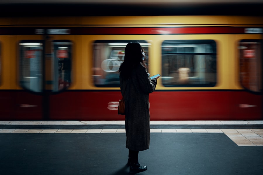
New York City boasts one of the most extensive and intricate public transportation systems in the world, serving millions of residents and visitors alike. The Metropolitan Transportation Authority (MTA) oversees this vast network, which includes subways, buses, and commuter trains. The subway system alone comprises 472 stations and spans over 665 miles of track, making it a vital lifeline for those traversing the city.
The buses complement the subway by covering areas that are not easily accessible by train, ensuring that every corner of the city is connected. This multifaceted approach to public transit allows New Yorkers to navigate the bustling metropolis efficiently. Understanding the fare structure is crucial for anyone looking to utilize NYC’s public transportation.
The standard fare for a subway or local bus ride is $2.75, with options for unlimited ride MetroCards available for those who plan to travel frequently. Additionally, the MTA offers discounts for seniors and people with disabilities, making public transit accessible to a broader audience. With the introduction of contactless payment options, such as OMNY, riders can now tap their credit or debit cards directly at the turnstiles, streamlining the boarding process and reducing wait times.
This modern approach to fare collection reflects the city’s commitment to enhancing the commuter experience.
Key Takeaways
- NYC’s public transportation system is extensive and includes subways, buses, commuter rail services, walking, biking, ride-sharing, bridges, tunnels, ferries, and more.
- Navigating the subway system can be overwhelming, but using a map, understanding the different lines, and knowing the express vs. local stops can make it easier.
- When using the bus system, it’s important to have exact change or a MetroCard, to be aware of bus schedules, and to signal the bus to stop.
- Commuter rail services like the Long Island Rail Road and Metro-North Railroad are convenient for traveling to and from the city’s surrounding areas.
- Walking and biking in the city can be a great way to get around, but it’s important to be aware of traffic and pedestrian rules for safety.
- Understanding traffic patterns and congestion can help commuters plan their routes and avoid delays during peak hours.
- Ride-sharing services like Uber and Lyft can be a convenient option for getting around the city, especially during late hours or in areas with limited public transportation.
- Navigating NYC’s bridges and tunnels requires knowledge of tolls, traffic patterns, and alternative routes in case of closures or heavy congestion.
- Ferry services are a scenic and efficient way to travel between Manhattan, Brooklyn, Queens, and Staten Island, offering beautiful views of the city skyline.
- Commuting during peak hours can be challenging, so it’s important to plan ahead, consider alternative routes, and be prepared for crowded public transportation.
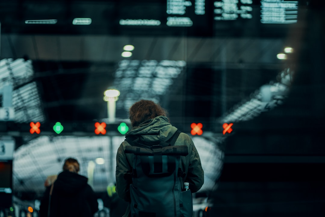
Navigating the Subway System
The subway system in New York City is a marvel of engineering and efficiency, but it can also be overwhelming for newcomers. With 27 lines and a complex web of routes, understanding how to navigate this underground labyrinth is essential for a smooth journey. Each subway line is identified by a letter or number, and trains run on different schedules depending on the time of day.
Riders can easily access real-time information through various apps or digital displays at stations, which provide updates on train arrivals and service changes. Familiarizing oneself with the subway map is a crucial first step in mastering this mode of transportation. Riders should also be aware of the different types of services offered by the subway system.
Local trains stop at every station along their route, while express trains skip certain stops to provide faster service on longer journeys. This distinction can significantly impact travel time, especially during rush hours when every minute counts. Additionally, some stations may have multiple entrances or exits, which can lead to confusion if one is not paying attention.
By planning ahead and consulting maps or apps, commuters can ensure they board the correct train and arrive at their destination with minimal hassle.
Tips for Using the Bus System
While the subway is often the go-to option for many New Yorkers, the bus system plays an equally important role in the city’s transportation landscape. Buses can reach areas that are not serviced by subway lines, making them an essential component of public transit. However, navigating the bus system requires a different set of skills compared to riding the subway.
For instance, understanding bus routes and schedules is vital; each bus line has its own designated path and timetable, which can vary throughout the day.
Local buses make frequent stops along their routes, while limited-stop buses provide faster service by skipping certain stops.
Additionally, express buses cater to commuters traveling longer distances, often providing a more comfortable ride with fewer stops. Riders should also take note of bus stops, which are marked with signs indicating the routes that service that particular location. Utilizing apps that provide real-time tracking of buses can further enhance the experience, allowing riders to plan their journeys more effectively.
Utilizing Commuter Rail Services
| City | Commuter Rail Service Provider | Number of Stations | Frequency of Trains | Peak Hours Schedule |
|---|---|---|---|---|
| New York City | Metro-North Railroad | 124 | Every 30 minutes | 6am-10am, 4pm-8pm |
| Boston | MBTA Commuter Rail | 138 | Every 15-60 minutes | 6am-9am, 4pm-7pm |
| Chicago | Metra | 242 | Every 15-60 minutes | 6am-9am, 4pm-7pm |
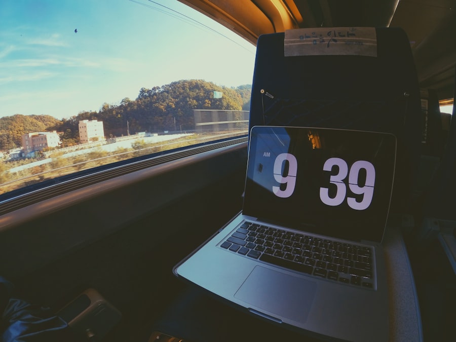
For those traveling to and from New York City from surrounding areas, commuter rail services offer a convenient alternative to subways and buses. The MTA operates two primary commuter rail lines: the Long Island Rail Road (LIRR) and Metro-North Railroad. These services connect commuters from suburban regions to various points in Manhattan and beyond, making them an attractive option for those who live outside the city but work within it.
The commuter rail system is known for its punctuality and comfort, providing a reliable means of transportation for daily travelers. Riders should be aware of ticketing options when using commuter rail services.
Additionally, understanding the different types of tickets—such as one-way, round-trip, or monthly passes—can help commuters save money based on their travel patterns. The commuter rail experience often includes amenities such as spacious seating and onboard restrooms, making it a pleasant alternative for those who prefer not to navigate the crowded subway during peak hours.
Walking and Biking in the City
New York City is renowned for its walkability, with many neighborhoods designed to be explored on foot. Walking not only allows individuals to soak in the vibrant atmosphere of the city but also serves as an efficient means of getting from one place to another, especially in densely populated areas where traffic congestion can be a significant issue. Sidewalks are generally wide and well-maintained, making it easy for pedestrians to navigate bustling streets filled with shops, restaurants, and cultural landmarks.
Biking has also gained popularity as a viable mode of transportation in NYThe city has invested heavily in expanding its network of bike lanes and bike-sharing programs like Citi Bike, which allows users to rent bicycles for short trips around town. This eco-friendly option provides an exhilarating way to traverse the city while avoiding traffic jams and crowded public transit. However, cyclists should remain vigilant about safety; wearing helmets and following traffic rules are essential practices to ensure a safe ride through the urban landscape.
Understanding Traffic Patterns and Congestion
Traffic congestion is an inevitable aspect of life in New York City, particularly during peak commuting hours when roads are filled with vehicles transporting workers into and out of Manhattan. Understanding traffic patterns can help commuters plan their journeys more effectively and avoid unnecessary delays. For instance, morning rush hour typically peaks between 7:00 AM and 9:00 AM, while evening congestion often builds from 4:00 PM to 6:00 PM.
During these times, certain routes may experience significant slowdowns due to high volumes of cars and buses. To mitigate the impact of congestion on their commutes, many New Yorkers opt for alternative travel times or routes when possible. Utilizing real-time traffic apps can provide valuable insights into current conditions on the roads, allowing commuters to make informed decisions about their travel plans.
Additionally, some individuals choose to carpool or use public transportation during peak hours to reduce their carbon footprint while avoiding the stress of driving in heavy traffic.
Tips for Using Ride-Sharing Services
Ride-sharing services like Uber and Lyft have transformed how people navigate New York City, offering a convenient alternative to traditional taxis and public transportation. These services allow users to request rides through mobile apps, providing flexibility and ease of use that appeals to many commuters. However, there are several tips that can enhance the ride-sharing experience in NYC.
First and foremost, riders should be mindful of surge pricing during peak hours or special events when demand for rides increases significantly. Understanding when surge pricing is likely to occur can help users plan their trips more economically. Additionally, selecting pick-up locations wisely can make a difference; choosing less congested areas or nearby intersections can lead to quicker pick-up times and smoother rides.
Finally, riders should always verify their driver’s identity before getting into a vehicle to ensure safety.
Navigating NYC’s Bridges and Tunnels
New York City’s iconic bridges and tunnels are not only architectural marvels but also critical components of its transportation infrastructure. Structures like the Brooklyn Bridge and Queensboro Bridge connect different boroughs while offering stunning views of the skyline and waterways. Tunnels such as the Holland Tunnel and Lincoln Tunnel facilitate vehicular travel between Manhattan and New Jersey, making them essential routes for commuters.
When navigating these crossings, it is important for drivers to be aware of tolls associated with each bridge or tunnel. Tolls can vary based on time of day and vehicle type; therefore, planning ahead can help avoid unexpected expenses. Additionally, traffic conditions on these crossings can fluctuate significantly throughout the day; utilizing real-time traffic apps can assist drivers in selecting optimal travel times or alternative routes if congestion arises.
Understanding Ferry Services
Ferry services provide a unique perspective on commuting in New York City while offering an enjoyable way to travel across its waterways. The NYC Ferry system connects various neighborhoods across Manhattan, Brooklyn, Queens, and Staten Island, providing scenic views along the way. Ferries are particularly popular among those who live near waterfront areas but work in other parts of the city.
Riders should familiarize themselves with ferry schedules and routes before embarking on their journey; services may vary depending on time of day or season. Additionally, purchasing tickets in advance through mobile apps can streamline boarding processes and reduce wait times at terminals. The ferry experience not only serves as a practical means of transportation but also allows passengers to appreciate the beauty of New York City’s skyline from a different vantage point.
Tips for Commuting During Peak Hours
Commuting during peak hours in New York City can be a daunting task due to overcrowded public transportation systems and heavy traffic congestion on roadways. However, there are several strategies that commuters can employ to make their journeys more manageable during these busy times. One effective approach is to plan ahead by checking transit schedules and real-time updates before leaving home or work.
Another useful tip is to consider alternative routes or modes of transportation when possible. For instance, if subway lines are experiencing delays or overcrowding, opting for a bus or even walking part of the way may prove more efficient. Additionally, adjusting travel times slightly—such as leaving earlier or later than usual—can help avoid peak congestion altogether.
By being proactive and flexible in their commuting strategies, individuals can navigate NYC’s bustling transit landscape with greater ease.
Navigating NYC’s Commute Options for Visitors
For visitors exploring New York City, understanding the various commuting options available can greatly enhance their experience in this vibrant metropolis. While many tourists may rely on taxis or ride-sharing services for convenience, utilizing public transportation offers an authentic glimpse into daily life in NYC while also being cost-effective. Visitors should consider purchasing a MetroCard upon arrival; this card provides access to both subways and buses throughout the city.
Familiarizing themselves with subway maps and bus routes will empower tourists to navigate confidently without relying solely on guided tours or private transportation options. Additionally, walking between attractions is often feasible due to the city’s compact layout; this allows visitors not only to save money but also to discover hidden gems along their journey. In conclusion, New York City’s public transportation system offers a wealth of options for both residents and visitors alike.
By understanding how to navigate subways, buses, commuter rails, ferries, and even biking or walking routes effectively, individuals can make their journeys through this bustling metropolis more enjoyable and efficient. With careful planning and awareness of traffic patterns and peak hours, anyone can master commuting in NYC while experiencing all that this iconic city has to offer.
In recent years, the daily commute in New York City has become a topic of increasing concern, with many residents experiencing longer travel times due to various factors such as infrastructure challenges and increased population density. An insightful article on this subject can be found on MyGeoQuest, which delves into the intricacies of NYC’s commuting landscape and offers potential solutions to alleviate the burden on daily travelers. For a deeper understanding of these issues, you can read the full article by visiting MyGeoQuest.
WATCH THIS! The Real Cost of NYC Living: Your Wallet, Sanity, and Subway Survival Skills
FAQs
What is the average commute time in NYC?
The average commute time in NYC is approximately 40 minutes one way, which is longer than the national average.
What are the main factors that contribute to long commute times in NYC?
The main factors that contribute to long commute times in NYC include heavy traffic, crowded public transportation, and the distance between residential areas and job centers.
What are the most common modes of transportation for commuting in NYC?
The most common modes of transportation for commuting in NYC are the subway, buses, walking, and cycling. Many residents also rely on cars and taxis for their daily commute.
How does the NYC subway system impact commute times?
The NYC subway system plays a significant role in the daily commute of millions of residents. However, delays, overcrowding, and maintenance issues can contribute to longer commute times for subway riders.
Are there any initiatives in place to improve commute times in NYC?
Yes, the city has implemented various initiatives to improve commute times, such as expanding bike lanes, improving public transportation infrastructure, and promoting telecommuting options for employees.
What are some tips for reducing commute times in NYC?
Some tips for reducing commute times in NYC include using alternative modes of transportation, such as cycling or walking, carpooling with colleagues, and taking advantage of flexible work schedules when possible.