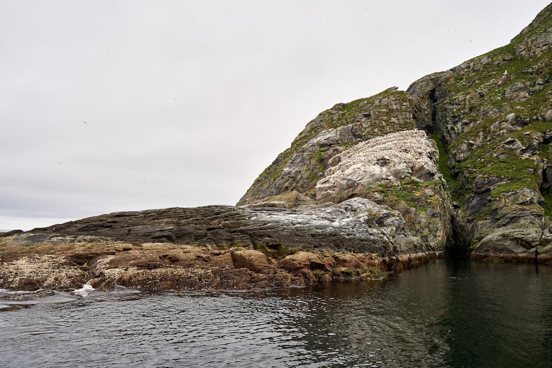
The Drake Passage, a formidable stretch of ocean separating the southern tip of South America from the Antarctic Peninsula, is a name that evokes images of tempestuous seas and intrepid explorers. Its reputation as one of the world’s most challenging waterways is not unfounded, stemming from a complex interplay of geographical factors. Understanding the geography of the Drake Passage is crucial for anyone considering its passage, whether by research vessel, expedition ship, or the historical routes of those who first dared its crossing. This exploration delves into the geographical underpinnings of this iconic stretch of water, illuminating the forces that shape its notorious character.
The very existence and dramatic nature of the Drake Passage are rooted in the grand, slow-motion ballet of tectonic plates. Millions of years ago, South America and Antarctica were not separated by a vast ocean, but were in fact joined. The opening of the Drake Passage was a gradual process, driven by the relentless movement of the Earth’s crust. This geological saga, spanning epochs, is the fundamental reason for the water body’s existence and its unique oceanographic characteristics.
The Breakup of Gondwana and the Genesis of the Southern Ocean
The story begins with Gondwana, a supercontinent that once encompassed much of the landmasses in the Southern Hemisphere, including South America, Antarctica, Africa, Australia, and India. As the Earth’s crust shifted, Gondwana began to fragment. The separation of South America from Antarctica was a pivotal moment in this breakup. This continental drift was not a sudden event but a prolonged period of rifting and spreading. The land bridges that once connected these continents slowly receded, allowing for the nascent formation of a body of water.
The Role of Plate Boundaries and Spreading Centers
The Drake Passage lies over a complex region of tectonic plate boundaries. Here, the South American Plate, the Scotia Plate, and the Antarctic Plate interact. The seafloor spreading that occurred between South America and Antarctica created the oceanic crust that now underlies the passage. This process, driven by upwelling magma from the Earth’s mantle, is a continuous force that, over geological timescales, widens the gap between the continents. The specific configuration of these plates and their rates of movement have directly influenced the depth and width of the passage, contributing to its oceanic dynamics.
Submarine Topography: The Hidden Landscape
Beneath the turbulent surface of the Drake Passage lies a complex submarine topography that significantly influences the flow of water and the behavior of waves. While often perceived as a uniform expanse, the seafloor is marked by undersea mountains, valleys, and plateaus. These features can channel ocean currents, create localized areas of turbulence, and impact the distribution of marine life. Understanding this hidden landscape is as vital as charting the surface conditions.
The Scotia Arc: A Submarine Barrier and Conduit
The Scotia Arc is a prominent underwater mountain range that stretches across the eastern part of the Drake Passage, connecting South America to the South Sandwich Islands and then curving towards the Antarctic Peninsula. This arc acts as a partial barrier, influencing the pathways of ocean currents and the exchange of water between the Atlantic and Pacific Oceans. It also contributes to the complex patterns of seafloor topography, creating areas of both restricted flow and enhanced mixing.
Trenches and Seamounts: Sculpting the Ocean Floor
The presence of deep ocean trenches and isolated seamounts within the Drake Passage further complicates its underwater geography. Trenches, such as the South Sandwich Trench to the east, represent areas where tectonic plates are subducting, leading to extreme depths. Seamounts, which are underwater volcanoes, rise from the seafloor, creating obstacles that can disrupt currents and generate localized upwelling. These features are not merely static elements of the seafloor; they actively participate in shaping the oceanic environment.
The Drake Passage, a body of water located between the southern tip of South America and Antarctica, is known for its challenging weather conditions and significant role in oceanic currents. For a deeper understanding of the geographical features and dynamics of this region, you can explore the article titled “Geography of the Drake Passage Explained” available at this link. This resource provides valuable insights into the unique characteristics of the Drake Passage and its importance in global climate patterns.
The Roaring Forties and Furious Fifties: Wind and Weather Systems
The infamous reputation of the Drake Passage is inextricably linked to its potent and persistent wind systems. The geographical location of the passage places it directly within the latitudes known for some of the strongest westerly winds on Earth. These winds, amplified by the lack of significant landmasses to impede them, are the primary engine behind the passage’s rough seas and challenging conditions.
The Role of the West Wind Drift: A Global Ocean Current
The Drake Passage is a critical conduit for the Antarctic Circumpolar Current (ACC), also known as the West Wind Drift. This massive oceanic current flows unimpeded around Antarctica, driven by prevailing westerly winds. As the ACC funnels through the relatively narrow Drake Passage, its velocity increases, and the interaction with the surrounding continents and islands contributes to the generation of powerful waves and strong currents. The ACC is the largest ocean current on Earth, and the Drake Passage is its only connection between the Atlantic and Pacific Oceans at these latitudes.
The Influence of the Subpolar Lows: Atmospheric Drivers
The weather systems that dominate the Drake Passage are often characterized by the presence of deep low-pressure systems, known as subpolar lows. These storms form over the Southern Ocean and are fueled by the temperature gradients between the cold polar air and the warmer mid-latitude air. As these lows track eastward, they often pass through or near the Drake Passage, bringing with them strong winds, heavy precipitation, and significant wave action. The intensity and frequency of these lows directly correlate with the severity of the conditions encountered in the passage.
The Fetch: The Open Ocean’s Influence
The term “fetch” refers to the uninterrupted distance over which wind can blow across a body of water. In the Drake Passage, the vast, open expanse of the Southern Ocean to the west allows for an exceptionally long fetch. This means that winds, particularly the persistent westerlies, can build up significant wave energy before reaching the passage. The absence of landmasses to break the waves before they enter the Drake Passage contributes to their size and power.
Coriolis Effect: Steering the Winds and Currents
The Earth’s rotation imparts a force known as the Coriolis effect, which deflects moving objects, including winds and ocean currents, to the right in the Northern Hemisphere and to the left in the Southern Hemisphere. In the Drake Passage, the Coriolis effect plays a crucial role in shaping the direction of the prevailing westerlies and the flow of the Antarctic Circumpolar Current. This deflection contributes to the consistent westward flow of water and air, further energizing the passage’s oceanic and atmospheric dynamics.
The Confluence of Oceans: Water Masses and Their Interactions
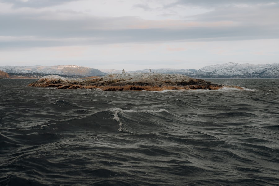
The Drake Passage is not simply a void of water; it is a dynamic interface where major ocean currents and distinct water masses converge and interact. The mixing of these waters, influenced by both global oceanographic patterns and local bathymetry, contributes to the unique hydrological characteristics of the passage.
The Antarctic Circumpolar Current (ACC): The Dominant Force
As previously mentioned, the ACC is the most significant oceanographic feature influencing the Drake Passage. This current encircles Antarctica, acting as a barrier that isolates the continent’s frigid climate and carrying vast quantities of cold, dense water. Its passage through the Drake is essential for the global thermohaline circulation, playing a vital role in regulating Earth’s climate. The sheer volume and speed of the ACC contribute to the rough seas, as its momentum encounters the continental shelves and submarine topography.
The Influence of the Atlantic and Pacific Oceans
The Drake Passage acts as a crucial gateway for the exchange of water between the Atlantic and Pacific Oceans. Water from the warmer, saltier Atlantic can flow southward and mix with the colder, fresher waters of the Pacific. This interaction of water masses, driven by pressure gradients and density differences, creates complex frontal zones and areas of significant mixing within the passage. The specific salinity and temperature of these water masses can also influence the density of the water, further impacting ocean currents.
Upwelling and Downwelling: Vertical Movements of Water
The geological features and the flow of currents within the Drake Passage can induce both upwelling and downwelling of water. Upwelling occurs when deep, nutrient-rich waters are brought to the surface, often driven by the interaction of currents with submarine ridges or by the effect of winds pushing surface water away. Downwelling, conversely, involves the sinking of surface waters. These vertical movements are critical for the distribution of nutrients, oxygen, and heat, and they play a role in supporting the unique marine ecosystems found in and around the passage.
Frontal Zones: Boundaries of Distinct Water Types
The mixing of different water masses within the Drake Passage leads to the formation of frontal zones – boundaries where distinct water types with different temperature, salinity, and density characteristics meet. These fronts can be areas of intense turbulence and biological activity. Navigating these zones requires careful attention to changes in sea conditions, as they can be characterized by unpredictable wave patterns and strong localized currents.
The Antarctic Convergence: A Bio-Geographical Boundary
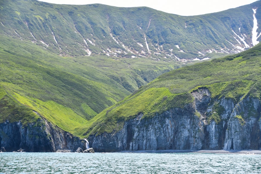
The Drake Passage is situated in a region of significant biological importance, marked by the Antarctic Convergence. This convergence is not a purely geographical feature, but rather a dynamic zone where the cold Antarctic waters meet the warmer sub-Antarctic waters. This mixing of waters creates a highly productive marine environment, drawing a diverse array of marine life.
The Impact of Temperature and Salinity Gradients
The Antarctic Convergence is characterized by steep gradients in temperature and salinity. The sharp drop in temperature as one moves southward from the sub-Antarctic is a key indicator of this zone. These gradients are directly related to the meeting of the Antarctic Circumpolar Current and the warmer waters from the Atlantic and Pacific. The biological productivity of this zone is a direct consequence of the nutrient-rich waters being brought to the surface and the favorable conditions created by this mixing.
A Hotspot for Marine Life: Feeding Grounds and Migratory Routes
The convergence zone is a vital feeding ground for numerous species, including krill, fish, squid, seals, whales, and seabirds. The abundance of food attracts these animals, making the Drake Passage and its surrounding waters a critical area for their survival and reproduction. Many migratory species also utilize the passage as a transit route between feeding and breeding grounds. Understanding the bio-geography of this region highlights its ecological significance and the importance of its preservation.
Krill Abundance: The Base of the Food Web
Antarctic krill (Euphausia superba) are the cornerstone of the Antarctic food web, and their populations are particularly dense within the convergence zone. These small crustaceans feed on phytoplankton, which thrive in the nutrient-rich waters created by upwelling and the mixing of currents. The abundance of krill in the Drake Passage directly supports the larger marine predators that inhabit the region.
Seabird Migrations: Indicators of Ocean Productivity
Seabirds, such as albatrosses and petrels, are often found in large numbers in the Drake Passage, following the rich feeding grounds. Their presence and migratory patterns are often indicators of the productivity of the ocean. The specific species that frequent the passage are adapted to the challenging conditions and are a testament to the resilience of life in this environment.
The Drake Passage, known for its turbulent waters and unique geographical features, plays a crucial role in the oceanic currents that influence global climate patterns. For those interested in a deeper understanding of this fascinating region, you can explore a related article that provides insights into the geography of the Drake Passage. This resource highlights the significance of the passage in connecting the Atlantic and Pacific Oceans while also discussing its impact on marine biodiversity. To learn more, visit this article for an in-depth exploration of the topic.
The Gateway to the Seventh Continent: Human Exploration and Navigation
| Aspect | Details |
|---|---|
| Location | South of Cape Horn, between South America and Antarctica |
| Width | Average width of 800 kilometers |
| Depth | Deepest point reaches over 5,000 meters |
| Currents | Strong and unpredictable currents due to the Antarctic Circumpolar Current |
| Weather | Frequent strong winds and rough seas due to the convergence of the Pacific and Atlantic Oceans |
Historically, the Drake Passage has been a formidable barrier, a rite of passage for those seeking to explore the Antarctic continent. Its geography has shaped the routes of exploration, the technologies used for navigation, and the very perception of what is possible in the face of nature’s might.
The Era of Sail: Facing the Elements Unassisted
Early explorers, sailing in wooden ships, faced the Drake Passage with little more than their courage, seamanship, and the rudimentary navigational tools of their time. The relentless winds and towering waves tested the limits of their vessels and their resolve. The accounts of these voyages – from Sir Francis Drake himself to the expeditions of Shackleton and Scott – are filled with harrowing descriptions of the passage, highlighting the profound impact of its geography on human endeavors.
Navigational Challenges: Understanding Currents and Weather
Navigating the Drake Passage under sail required an intimate understanding of wind patterns, ocean currents, and the subtle shifts in weather. Reliance on celestial navigation, compasses, and chronometers, combined with an acute awareness of the sea’s behavior, was paramount. The passage demanded constant vigilance and the ability to adapt to rapidly changing conditions.
Modern Navigation: Technology and Resilience
While modern vessels and navigational technologies have made passage through the Drake Passage safer and more predictable, its inherent challenges remain. GPS, sophisticated weather forecasting, and robust ship designs allow for more informed decision-making and greater resilience. However, the fundamental forces of wind and wave still dictate the experience, demanding respect and careful planning.
Icebergs and Sea Ice: Additional Hazards
As one approaches the Antarctic continent, the presence of icebergs and sea ice becomes a significant navigational concern, particularly during certain seasons. These frozen obstacles, sculpted by millennia of glacial activity, add another layer of complexity to traversing the southern reaches of the Drake Passage. Understanding the dynamics of ice formation and drift is crucial for safe passage in these waters.
The Importance of Expedition Planning
Successful navigation of the Drake Passage today, whether for scientific research or tourism, hinges on meticulous expedition planning. This includes selecting the appropriate vessels, ensuring adequate safety equipment, and having a comprehensive understanding of the prevailing meteorological and oceanographic conditions. The geography of the passage dictates that thorough preparation is not merely advisable, but essential.
In conclusion, the Drake Passage is a geographical marvel, a region where the titanic forces of plate tectonics, global wind patterns, and oceanic circulation converge. Its formidable nature is a direct consequence of this unique geographical setting. From the deep trenches beneath the waves to the roaring westerlies above, every aspect of its geography contributes to its reputation as a challenging yet captivating expanse. For those who venture into its embrace, a deep understanding of its geography is not just a matter of intellectual curiosity, but a fundamental requirement for a safe and meaningful passage.

Why Cape Horn Has Some of the Worst Seas on Earth
FAQs
What is the Drake Passage?
The Drake Passage is a body of water located between the southern tip of South America and the northern tip of the Antarctic Peninsula. It connects the Atlantic Ocean to the Pacific Ocean.
How wide is the Drake Passage?
The Drake Passage is approximately 800 kilometers (500 miles) wide at its narrowest point.
What is the significance of the Drake Passage?
The Drake Passage is known for its rough seas and strong winds, making it one of the most challenging maritime routes in the world. It is also an important oceanic gateway for the circulation of water and marine life between the Atlantic and Pacific Oceans.
What is the climate like in the Drake Passage?
The climate in the Drake Passage is characterized by strong winds, high waves, and cold temperatures. It is notorious for its stormy weather and rough seas, which can make navigation difficult for ships crossing the passage.
What is the geography of the Drake Passage like?
The geography of the Drake Passage is dominated by deep oceanic trenches and strong currents. It is also home to a diverse range of marine life, including whales, seals, and seabirds.