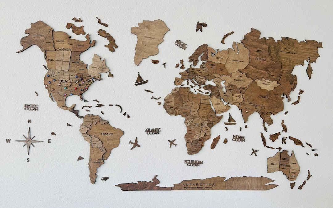
The familiar lines of a world map, a comforting tapestry of continents and oceans, have always served as a beacon of understanding, a representation of our known world. Yet, beneath the veneer of cartographic certainty lies a profound and persistent reality: there are places, and indeed entire concepts, where the very notion of a “map” begins to fray, where our ability to define and delineate falters. This exploration delves into those frontiers of knowledge, those territories of the unknown that challenge our ingrained understanding of space, existence, and even what it means to be mapped.
For centuries, cartographers diligently charted the known world, but their endeavors were often hampered by rumor, miscalculation, and the sheer vastness of unexplored oceans. This led to the creation of phantom islands, spectral landmasses that appeared on maps for decades, even centuries, before being definitively debunked. These weren’t mere errors; they were testaments to the power of narrative and the limitations of early exploration, highlighting how our understanding of the world was as much a product of imagination as it was of empirical observation.
The Allure of the Unseen: Myths and Misinformation
The genesis of many phantom islands lay in mariners’ tales, often embellished or misunderstood. Stories of rich lands brimming with resources or strategically important locations would filter back to port, fueling the desire of cartographers to fill the blank spaces on their charts. The lack of reliable communication and the infrequent nature of voyages meant that these stories could persist for generations, becoming ingrained in the very fabric of geographical knowledge.
The Case of Hy-Brasil: A Mythical Irish Isle
Perhaps one of the most enduring phantom islands is Hy-Brasil, a mythical island said to lie to the west of Ireland. Appearing on maps from the 14th century onwards, it was depicted as a place of wondrous beauty and prosperity. Its exact location was perpetually shifting, adding to its enigmatic nature. The persistence of Hy-Brasil on maps, despite a complete lack of verifiable evidence, speaks volumes about the human desire for the extraordinary and the enduring power of folklore to shape our perception of the world.
Frisland and Buss Island: Navigational Blinders
Other phantom islands, like Frisland (or Friesland) and Buss Island, emerged from actual navigational events that were misinterpreted. Voyages of exploration, particularly in the Arctic and North Atlantic, often encountered fog, ice, or unusual atmospheric conditions that could lead to the mistaken identification of landmasses. These sightings, however fleeting or illusory, were then diligently recorded, leading to their inclusion on charts, only to be later erased by more accurate surveys. The journey of these phantom islands from the edges of knowledge to the dustbin of cartographic history offers a valuable lesson in the iterative nature of scientific discovery.
The Dynamic Nature of Terrestrial Boundaries
Even on solid ground, where maps might seem more stable, the “unknown” can manifest in subtle yet profound ways. Political boundaries, while drawn with definitive lines, are rarely static. They are products of negotiation, conflict, and shifting geopolitical landscapes, and their exact demarcation can be surprisingly fluid and contested.
The Arbitrary Nature of Borders: Lines Drawn on the Sand
Many of the world’s borders were not organically formed by natural features or historical settlement patterns, but were rather arbitrarily drawn by colonial powers or as a result of international treaties. This often resulted in lines that bisected ethnic groups, divided natural resources, or ignored geographical realities. The ongoing territorial disputes and humanitarian crises that arise from these artificial divisions are a stark reminder that the “known” of a map is often a human construct, subject to the vagaries of power and politics.
The Uncharted Territories of Human Geography
Beyond the physical lines on a map, there are the equally complex and often unknown territories of human geography. The movements of populations, the formation of new settlements, the ebb and flow of cultural influences – these are all processes that are constantly reshaping the human landscape in ways that traditional maps struggle to capture. The rapid urbanization of developing nations, for instance, creates new centers of population and activity that may not yet be reflected in official cartography.
In exploring the intriguing concept of how the world map stops making sense, one can delve into the article found at My Geo Quest, which discusses the various distortions and misconceptions that arise from traditional map projections. This article highlights how the Mercator projection, for instance, exaggerates the size of landmasses near the poles, leading to a skewed perception of geography. By understanding these distortions, readers can gain a deeper appreciation for the complexities of our planet and the ways in which maps shape our understanding of the world.
The Unseen Architects: The Realms of Microscopic and Cosmic Uncertainty
Our perception of the “world” is heavily influenced by the scale at which we operate. While we are accustomed to mapping continents and countries, there are entire universes of existence that lie beyond our immediate sensory perception, realms where the very definition of “place” becomes abstract.
The Microscopic Frontier: A World Within
The realm of the microscopic, populated by bacteria, viruses, and intricate cellular structures, represents a vast and largely unseen dimension of our planet. While we can map the human body and its organs, the dynamic and constantly evolving ecosystems within us, and the organisms that inhabit every surface, remain largely unknown and poorly charted.
The Unmapped Microbiome: A Second Genome
The human microbiome, the trillions of microorganisms that live on and within us, is a prime example of an “unknown” territory that is now beginning to be explored. Scientists are only now starting to understand the complex interactions between these microbes and our health, and the concept of “mapping” this internal ecosystem is a monumental task. The diversity and individuality of each person’s microbiome mean that a truly comprehensive map might be an impossible dream.
The Hidden Worlds of Soil and Water
Beneath our feet, in the soil, and within the vastness of our oceans, lie ecosystems teeming with life that are still largely uncharacterized. The diversity of microbial life in these environments is staggering, with new species being discovered regularly. Understanding these hidden worlds is crucial for comprehending nutrient cycles, ecological stability, and even the origins of life.
The Cosmic Canvas: Galaxies and Beyond
At the opposite end of the spectrum, the universe presents an even grander scale of the unknown. While telescopes have revealed an awe-inspiring panorama of stars, galaxies, and nebulae, the vast majority of the cosmos remains a mystery. Our maps of the universe are inherently incomplete, based on observable phenomena and theoretical models.
The Mystery of Dark Matter and Dark Energy: Invisible Forces
The existence of dark matter and dark energy, which make up an estimated 95% of the universe, highlights a fundamental gap in our knowledge. These invisible forces exert gravitational influence and drive cosmic expansion, yet their true nature remains elusive. Mapping their distribution and understanding their properties is one of the most significant challenges in modern cosmology.
The Infinite Expanse: The Limits of Observation
The sheer size of the universe means that we are only able to observe a fraction of it. The finite speed of light and the age of the universe limit our view to a sphere of observable space. Beyond this horizon lies a potentially infinite expanse, filled with galaxies and phenomena that we may never be able to directly detect. The concept of mapping something that is potentially boundless is a philosophical and scientific paradox.
The Abstract Frontiers: Concepts and Ideas That Defy Cartography
The “unknown” is not solely confined to physical spaces. Our understanding of abstract concepts, complex phenomena, and even the very nature of consciousness presents frontiers that are equally challenging to map.
In exploring the intricacies of geography, one might come across fascinating discussions about how the world map stops making sense in certain contexts. For instance, the article on geographical anomalies delves into the peculiarities of map projections and the distortions they create, leading to surprising interpretations of landmasses and distances. This examination reveals how our understanding of the world can be skewed by the very tools we use to represent it, prompting a deeper reflection on the nature of geography itself.
The Labyrinth of Consciousness: The Inner Unknown
The human mind, with its intricate workings and subjective experiences, remains one of the greatest enigmas. While neuroscience is making strides in understanding brain activity, the essence of consciousness, subjective awareness, and the formation of thoughts and emotions are areas where definitive maps are still largely absent.
The Elusive Nature of Subjectivity: A Personal Universe
Each individual’s consciousness is a unique universe of experiences, memories, and perceptions. While we can share and communicate aspects of our inner lives, the fundamental subjective nature of consciousness makes it inherently unmappable in any objective sense. The “map” of one person’s mind is fundamentally inaccessible to another.
The Uncharted Territories of Dreams and Unconscious Thought
The realm of dreams, and the vast expanse of the unconscious mind, represent significant unknown territories within our own psyches. While psychoanalysis and psychology have explored these areas, their true extent and the underlying mechanisms remain largely mysterious. Mapping the unconscious is akin to charting a constantly shifting and symbolic landscape.
The Fluidity of Information and Knowledge: Ever-Evolving Maps
In the digital age, the concept of information itself has become a fluid and dynamic entity. The vast interconnectedness of data, the constant creation of new knowledge, and the ephemeral nature of digital content challenge traditional notions of mapping and categorization.
The Ever-Expanding Internet: A Constantly Reshaping Landscape
The internet is a prime example of an unmappable territory. Its sheer scale, the constant flux of its content, and the decentralized nature of its infrastructure make it impossible to create a static, comprehensive map. New websites, data streams, and social networks emerge and disappear at an astonishing rate, creating a landscape that is in perpetual motion.
The Complexity of Big Data: Finding Patterns in Chaos
The explosion of big data presents a different kind of mapping challenge. While we can analyze and visualize vast datasets to identify patterns and trends, the sheer volume and complexity can overwhelm traditional analytical tools. The “map” of big data is not a geographical representation but rather a complex network of relationships and correlations that require sophisticated algorithms to uncover.
The Ethical and Philosophical Implications of the Unknown
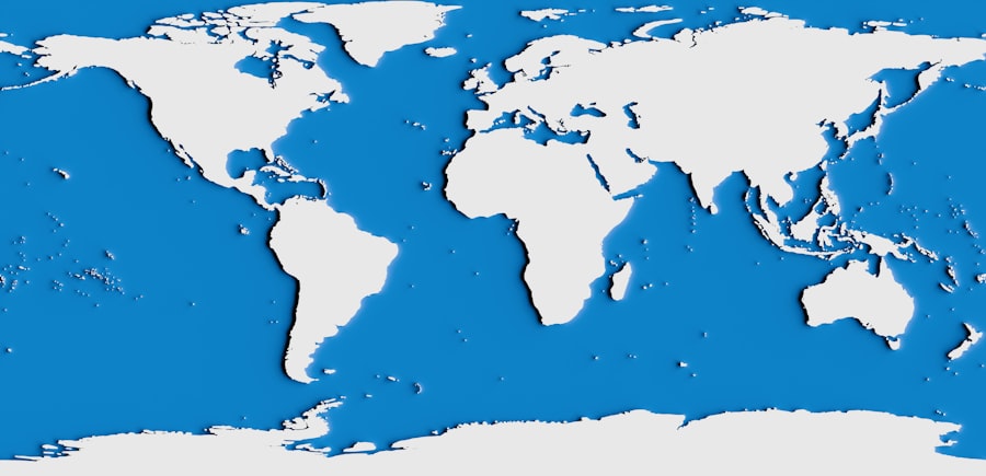
Exploring the unknown is not merely an intellectual pursuit; it carries significant ethical and philosophical implications that shape our understanding of ourselves and our place in the universe.
The Ethics of Exploration: Responsibility and Risk
The pursuit of knowledge in uncharted territories often involves confronting risks and making ethical decisions. Whether it’s deep-sea exploration, space travel, or scientific research involving potentially dangerous elements, the “unknown” demands a careful consideration of responsibility, safety, and the potential consequences of our actions.
The Precautionary Principle: Navigating Uncertainty
In the face of the unknown, the precautionary principle suggests taking preventative action even in the absence of full scientific certainty. This is particularly relevant in areas like environmental research and genetic engineering, where the potential for unforeseen consequences is high. Mapping the potential risks and benefits of such endeavors is an ongoing ethical challenge.
The Ownership and Exploitation of New Frontiers
As we discover and begin to understand new territories, questions of ownership, exploitation, and equitable access inevitably arise. The history of exploration is replete with examples of power imbalances and the subjugation of indigenous populations or the exploitation of natural resources. Understanding these ethical dimensions is crucial for navigating the “unknown” responsibly.
The Philosophical Dimensions: Humility and Wonder
The persistent presence of the unknown is a constant reminder of our limitations. It fosters a sense of humility, acknowledging that our current understanding is incomplete. This humility, however, is often accompanied by a profound sense of wonder, a yearning to explore, discover, and expand the boundaries of our knowledge.
The Quest for Meaning in the Void
The philosophical quest for meaning often finds itself confronting the vastness of the unknown. Questions about the origins of the universe, the nature of existence, and our purpose within it are all intrinsically linked to what we do not yet comprehend. The “map” of meaning is not a fixed destination but an ongoing journey of inquiry.
Embracing the Uncertainty: The Beauty of the Unfinished
Ultimately, the “unknown” is not a void to be feared, but a space of infinite possibility. It is the fertile ground from which new discoveries, new perspectives, and new understandings will emerge. Embracing the uncertainty, and continuing to ask questions, is the very essence of human progress and the perpetual endeavor to make sense of a world that constantly redraws its own boundaries.
The world map, in its most literal sense, is a tool for navigation and comprehension. But the true “where the world map stops making sense” lies not in the absence of ink on paper, but in the vast, untamed territories of our ignorance, realms that beckon us to explore, to question, and to continue the timeless human quest for understanding.
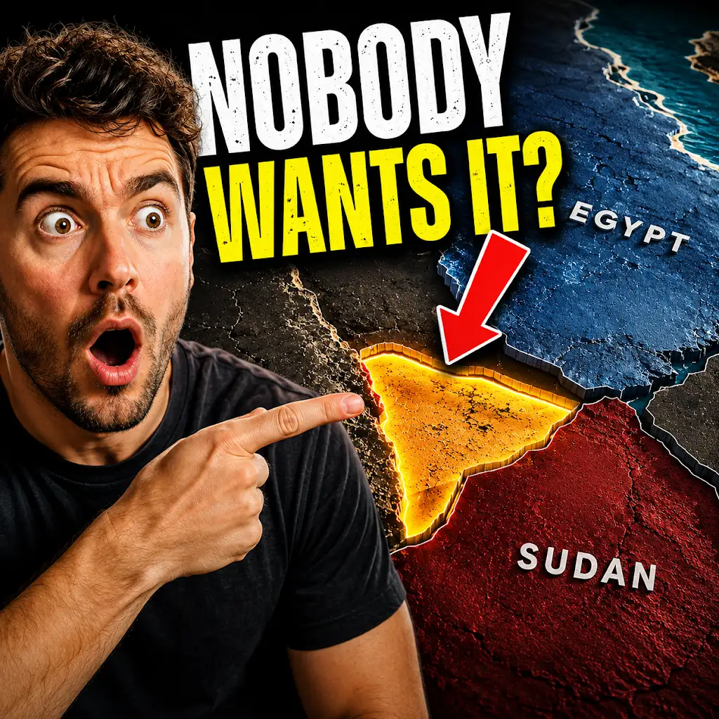
What Happens When No Country Owns a Place?
FAQs
What is the article “Where the World Map Stops Making Sense” about?
The article explores the concept of map projections and how they can distort the true size and shape of countries and continents, leading to discrepancies and inaccuracies in the representation of the world.
Why do map projections distort the true size and shape of countries?
Map projections distort the true size and shape of countries because it is impossible to accurately represent the three-dimensional surface of the Earth on a two-dimensional map. Different map projections prioritize different aspects, such as preserving area, shape, distance, or direction, leading to distortions in other aspects.
What are some examples of map projections that lead to distorted representations of the world?
Some examples of map projections that lead to distorted representations of the world include the Mercator projection, which exaggerates the size of countries near the poles, and the Gall-Peters projection, which accurately represents the relative sizes of countries but distorts their shapes.
How does the article suggest we approach understanding world maps despite their distortions?
The article suggests that we approach understanding world maps by being aware of the limitations and distortions of different map projections. It encourages a critical approach to interpreting maps and an understanding that no single map projection can accurately represent the true size and shape of the world.
What are some alternative ways to represent the world that may provide a more accurate depiction?
Some alternative ways to represent the world that may provide a more accurate depiction include using interactive globes or digital mapping tools that allow users to manipulate and visualize the Earth’s surface in three dimensions. Additionally, equal-area map projections, such as the Mollweide projection, can provide a more accurate representation of the relative sizes of countries and continents.