The Great Plains, a vast expanse of seemingly flat grassland stretching across the heart of North America, holds within its subsurface a profound and dynamic geological narrative. Far from being a static landscape, its history is a testament to eons of tectonic forces, deposition, erosion, and the persistent influence of water and life. Understanding this geological story unlocks not only the formation of its iconic topography but also the very foundation of its rich biodiversity and agricultural significance.
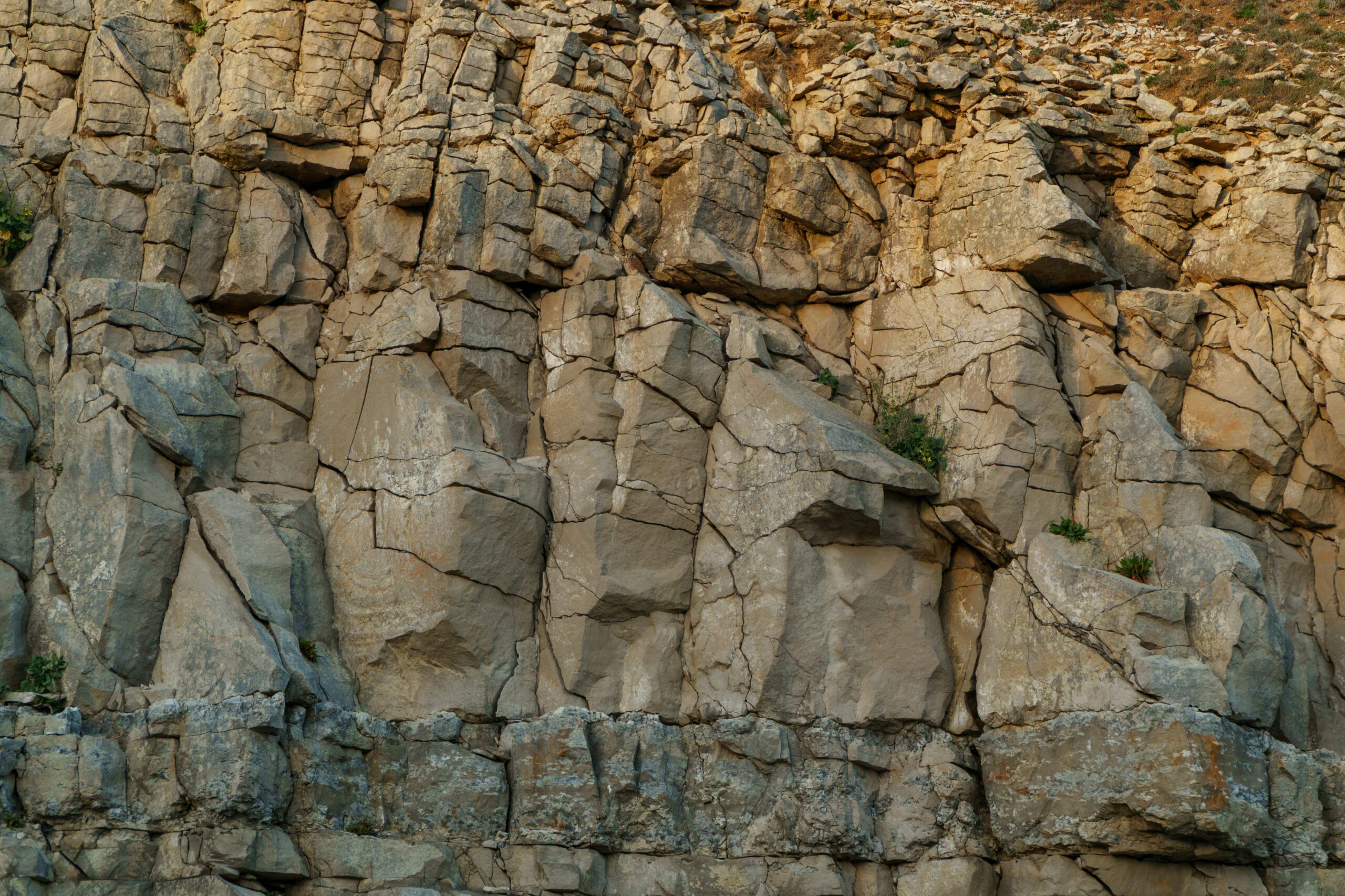
The story of the Great Plains, like many continental interiors, begins in the unimaginably distant past of the Precambrian Eon, a period spanning from the Earth’s formation to approximately 541 million years ago. Beneath the relatively thin veneer of younger sedimentary rocks that characterize the modern surface, lies a rugged and ancient basement composed of metamorphic and igneous rocks. These rocks are the roots of the continent, forged in the crucible of early Earth processes.
The Formation of the Canadian Shield and its Southern Extension
Much of this Precambrian foundation is an extension of the Canadian Shield, a colossal area of exposed Precambrian rock that dominates eastern and central Canada. The processes that formed the Shield – intense heat and pressure, volcanic activity, and the slow accretion of continental crust over billions of years – also played a crucial role in shaping the bedrock that underlies the Great Plains. Faulting, folding, and metamorphism transformed original igneous and sedimentary rocks into the hard, crystalline basement we see today, albeit buried deep beneath younger sediments.
Evidence in the Subsurface
Direct observation of these Precambrian rocks at the surface within the Great Plains is rare. Instead, their nature and extent are revealed through deep drilling, seismic surveys, and geochemical analysis of samples brought to the surface from wells. These investigations indicate a complex mosaic of Archean and Proterozoic terranes, remnants of ancient mountain-building events and periods of widespread igneous intrusion. The orientation of structural features within this basement, such as major fault lines and ancient fold belts, has influenced later geological events, acting as zones of weakness that could be reactivated by subsequent tectonic stresses.
A Long Period of Stability (and Erosion)
Following the intense activity of the Precambrian, much of the continental interior, including the future Great Plains region, experienced a prolonged period of relative quiescence. However, this stability did not imply a lack of geological action. For hundreds of millions of years, these ancient landforms were subjected to relentless erosion by wind and water. Rivers carved valleys, and weathering broke down rocks, transporting vast quantities of sediment across the landscape. This erosional phase effectively planed down the rugged Precambrian surface, creating a vast, relatively flat surface upon which later geological chapters would be written.
The geological history of the Great Plains is a fascinating subject that reveals the dynamic processes that have shaped this vast region over millions of years. For those interested in exploring this topic further, a related article can be found at My Geo Quest, which delves into the formation of the Great Plains and the significant geological events that have influenced its landscape. This resource provides valuable insights into the area’s sedimentary layers, fossil records, and the impact of glacial movements, making it a great starting point for anyone looking to understand the geological evolution of this unique region.
The Paleozoic Era: The Great Interior Seaway and the Birth of Sedimentary Basins
The Paleozoic Era, from 541 to 252 million years ago, marked a dramatic shift in the geological history of the Great Plains. It was a time of significant sea-level fluctuations and the widespread inundation of continental interiors by shallow, warm seas. These events were instrumental in the formation of extensive sedimentary basins and the deposition of vast quantities of rock that would become crucial for understanding the region’s stratigraphy.
The Transcontinental Arch and the Ancestral Rockies
At the beginning of the Paleozoic, much of the region was above sea level, forming a large, elevated landmass known as the Transcontinental Arch. This arch, a broad uplift formed during earlier Proterozoic orogenic (mountain-building) events, influenced depositional patterns, dividing the continent into western and eastern basins. However, as the Paleozoic progressed, tectonic forces began to reshape the continent. In the west, the Laramide Orogeny, a precursor to later mountain-building, caused significant uplift in the area that would become the Rocky Mountains. This uplift, in turn, influenced the development of basins to its east.
The Formation of the Williston and Sedgwick Basins
As sea levels rose, vast inland seas, collectively known as the Western Interior Seaway or the Great Interior Seaway, began to expand across the North American continent. The topography created by the Transcontinental Arch and the nascent uplift in the west facilitated the formation of significant sedimentary basins within this seaway, most notably the Williston Basin in the north and the Sedgwick Basin in the south, encompassing large portions of the modern Great Plains. These basins acted as sinks, accumulating immense volumes of sediment.
Deposition of Diverse Sedimentary Rocks
Within these Paleozoic seaways, a variety of sedimentary rocks were deposited. Fine-grained shales and mudstones accumulated in deeper, quieter waters, while sandstones formed in shallower areas closer to shore or where rivers entered the sea. Carbonate rocks, such as limestone and dolomite, were precipitated from the warm, shallow waters due to the abundant marine life, particularly corals, brachiopods, and crinoids, all of which left behind their fossilized remains. These Paleozoic strata are rich in fossils, providing invaluable insights into the ancient marine ecosystems that once thrived in the heart of the continent. The widespread distribution of these rock units across the Great Plains is a direct consequence of these Paleozoic inundations.
Resources Hidden Beneath the Surface
The Paleozoic sedimentary rocks are also a critical source of economic resources. The deposition of organic matter in oxygen-poor marine environments led to the formation of significant oil and natural gas reserves within porous sandstone and carbonate reservoirs. Furthermore, evaporite deposits, formed when the seaways partially or completely evaporated, are a source of salt and gypsum, minerals essential for various industrial processes.
The Mesozoic Era: The Reign of Dinosaurs and the Widening Seaway

The Mesozoic Era, from 252 to 66 million years ago, witnessed the reign of dinosaurs and further significant geological transformations across the Great Plains. This era saw the continued influence of shallow seas, but also periods of terrestrial deposition as mountain-building in the west began to shed vast quantities of sediment eastward.
The Expansion and Retreat of the Western Interior Seaway
The Mesozoic was characterized by the dramatic expansion and eventual retreat of the Western Interior Seaway, which at its greatest extent, during the Cretaceous Period, stretched from the Arctic Ocean to the Gulf of Mexico, effectively splitting the North American continent in two. The eastern margin of this seaway broadly coincided with the eastern extent of the modern Great Plains, while the western margin was defined by the developing highlands.
Deposition of Sandstones, Shales, and Coal
As the seaway advanced and retreated, diverse sedimentary environments were established. Shales and mudstones were deposited in the deeper offshore areas, forming extensive layers that are now characteristic of many Great Plains formations. Nearer to the shorelines, sandstones were deposited by rivers and ocean currents, creating important aquifers and hydrocarbon reservoirs. In coastal plain environments, swamps thrived, leading to the accumulation of organic matter that, under pressure and heat over millions of years, transformed into vast deposits of coal. These coal seams are a significant economic resource in parts of the Great Plains, representing the fossilized remains of ancient plant life.
The Morrison Formation: A Dinosaur Legacy
One of the most iconic geological formations of the Mesozoic Great Plains is the Morrison Formation, predominantly found in the western parts of the region. This formation, dating to the Late Jurassic and Early Cretaceous periods, is renowned for its rich fossil record, particularly of dinosaurs. The depositional environment of the Morrison Formation is thought to have been a complex network of rivers and floodplains dissecting a semi-arid landscape. This environment was ideal for preserving the remains of immense herbivorous and carnivorous dinosaurs, making the Great Plains a globally significant paleontological treasure trove. The erosion of these fossil-bearing strata continues to yield remarkable discoveries.
Terrestrial Influences and the Eastern Margin
While marine deposition played a dominant role in the central and western Great Plains during much of the Mesozoic, terrestrially derived sediments were also accumulating, especially along the eastern margins of the seaway and in areas that periodically emerged from the water. These sediments, carried by rivers flowing from ancient highlands to the east, contributed to the building up of the continental crust.
The Cenozoic Era: The Uplift, Erosion, and Shaping of the Modern Plains
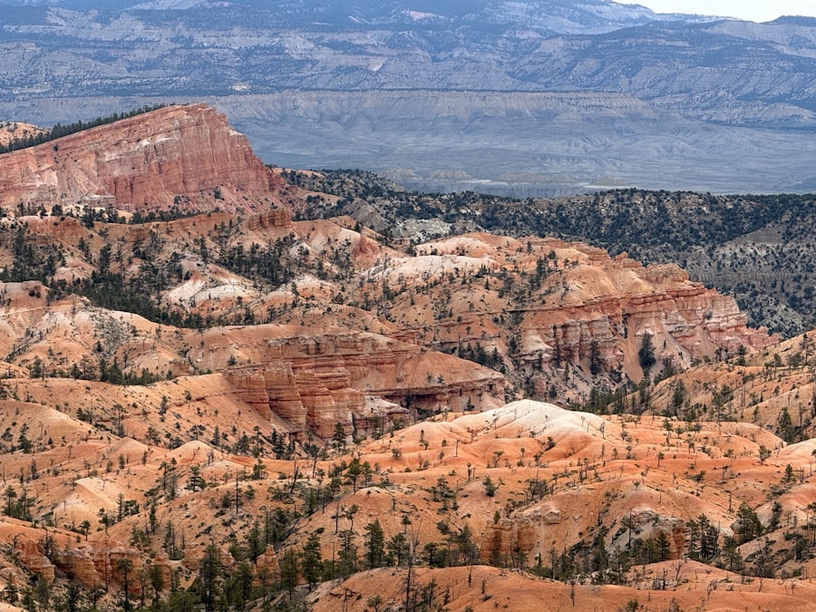
The Cenozoic Era, from 66 million years ago to the present, is the era that directly shaped the modern landscape of the Great Plains. This era was dominated by tectonic uplift, extensive erosion, and the deposition of thick sequences of unconsolidated sediments, profoundly transforming the region’s topography and setting the stage for the development of its characteristic grassland ecosystem.
The Laramide Orogeny and its Aftermath
The most significant geological event of the early Cenozoic was the Laramide Orogeny, a protracted period of mountain-building that uplifted the Rocky Mountains. While the most dramatic uplift occurred to the west, the forces associated with this orogeny extended eastward, causing widespread uplift and deformation across the Great Plains. This uplift elevated the entire region, initiating a new cycle of erosion and sediment transport.
Massive Sediment Shedding and Alluvial Fans
As the Rocky Mountains rose, they were subjected to intense erosion by rivers. These powerful rivers, carrying vast quantities of sediment – sand, gravel, and silt – flowed eastward across the uplifted plains. In the intermontane basins and along the foothills of the Rockies, these rivers deposited extensive alluvial fans, wedge-shaped accumulations of sediment. Further east, as the gradient decreased, these braided river systems spread out, forming vast plains of deposited sediment. The erosion of the rapidly rising Rockies provided the raw material for the thick Cenozoic sedimentary cover that blankets much of the Great Plains today.
The Development of the Ogallala Aquifer
A crucial geological feature of the Cenozoic Great Plains is the Ogallala Aquifer. This immense underground reservoir of freshwater underlies approximately 174,000 square miles across eight states. It is primarily composed of heterogeneous sands, gravels, silts, and clays deposited by ancient fluvial (river) systems flowing eastward from the Rocky Mountains during the Miocene epoch (approximately 23 to 5 million years ago). These sediments, derived from the erosion of mountainous terrain, formed porous and permeable layers capable of holding vast quantities of water. recharge for the Ogallala has historically been slow, primarily through rainfall and infiltration.
The Role of Rivers in Sculpting the Landscape
Throughout the Cenozoic, rivers have been the primary sculptors of the Great Plains landscape. Major river systems, such as the Platte, Arkansas, Missouri, and their tributaries, have incised their channels into the accumulating sediments, creating river valleys, terraces, and floodplains. The erosional power of these rivers, particularly during periods of increased rainfall or glacial meltwater, has been instrumental in shaping the gentle slopes and wide valleys characteristic of the Plains. The depositional patterns of these rivers have also created areas of distinct topography, such as the Sandhills of Nebraska, a unique region formed by windblown sand dunes stabilized by vegetation.
The geological history of the Great Plains is a fascinating subject that reveals how ancient environments have shaped the landscape we see today. For those interested in exploring this topic further, a related article provides valuable insights into the formation and evolution of this vast region. You can read more about it in the article on geological processes and their impact on the Great Plains by visiting this link. Understanding these processes not only enhances our appreciation of the Great Plains but also sheds light on the broader geological history of North America.
The Quaternary Period: Glacial Influence, Periglacial Processes, and the Modern Environment
| Geological Period | Time Frame | Key Events |
|---|---|---|
| Precambrian | 4.6 billion years ago – 541 million years ago | Formation of ancient rocks and mountain ranges |
| Paleozoic Era | 541 million years ago – 252 million years ago | Formation of sedimentary rocks and shallow seas |
| Mesozoic Era | 252 million years ago – 66 million years ago | Uplift and erosion, formation of the Rocky Mountains |
| Cenozoic Era | 66 million years ago – present | Continued erosion, formation of the Great Plains |
The Quaternary Period, the most recent geological epoch, spanning the last 2.6 million years, has been characterized by dramatic climatic fluctuations, particularly the cycles of glacial and interglacial periods known as ice ages. These shifts, coupled with persistent wind action, have left an indelible mark on the Great Plains.
Continental Glaciation in the Northern Plains
While the heart of the Great Plains remained largely ice-free throughout most of the Quaternary, the northern reaches of the region experienced significant continental glaciation. Massive ice sheets, originating in Canada, advanced southward multiple times, covering large areas of Montana, North Dakota, South Dakota, and Nebraska. As these glaciers advanced, they scoured the land, eroding bedrock and transporting vast quantities of glacial till – a unsorted mixture of clay, silt, sand, gravel, and boulders.
Landforms of Glacial Deposition
Upon retreating, these glaciers left behind a wealth of distinctive landforms. Moraines, ridges of accumulated till marking the former edges of the ice sheets, are common. Outwash plains, vast, flat areas of sand and gravel deposited by meltwater streams flowing from the glaciers, are also prevalent. Kettle lakes, formed when blocks of ice melted in the outwash plains, dot the landscape in glaciated areas. The fertile soils of the northern Great Plains are largely derived from these glacial deposits, making it some of the most productive agricultural land in the world.
Periglacial Processes and Loess Deposition
Even in areas not directly covered by ice, the Great Plains experienced significant periglacial processes. During glacial periods, the climate was much colder and drier, leading to the formation of permafrost and the intense influence of freeze-thaw cycles. Prevailing winds, particularly from the northwest, picked up fine-grained sediment from glacial outwash plains and dry, exposed landscapes. This sediment, known as loess, was then deposited downwind, forming thick, fertile mantles of soil that are characteristic of large areas of the Great Plains, particularly in Nebraska, Kansas, and Iowa. The fine, porous nature of loess is ideal for agriculture.
The Modern Landscape and Ongoing Processes
Today, the Great Plains continues to be shaped by geological processes, albeit at a more subtle scale. Wind erosion is a constant force, shaping dunes and sculpting exposed bedrock. River systems continue to transport sediment, though their courses are often influenced by human intervention. The Ogallala Aquifer is a vital resource, but its rapid depletion highlights the tenuous balance between geological endowment and human demand. Ongoing tectonic activity, though less dramatic than in mountainous regions, still plays a role in maintaining the region’s overall elevation. The Great Plains, therefore, is not a geological relic but a dynamic system, its past imprinted on its subsurface and its future still being written by the forces of nature and the actions of humankind.

The Water Beneath America’s Breadbasket
FAQs
1. What is the geological history of the Great Plains?
The Great Plains were formed over millions of years through a combination of tectonic activity, erosion, and sedimentation. The region was once covered by shallow seas, and later experienced uplift and erosion, resulting in the flat, grassy landscape we see today.
2. How old are the rocks in the Great Plains?
The rocks in the Great Plains range in age from hundreds of millions to billions of years old. They include sedimentary rocks deposited by ancient seas, as well as igneous and metamorphic rocks formed through volcanic activity and intense heat and pressure.
3. What geological features can be found in the Great Plains?
The Great Plains are characterized by rolling hills, river valleys, and vast grasslands. The region also contains important geological features such as the Black Hills in South Dakota, the Badlands of North Dakota, and the Ogallala Aquifer, one of the world’s largest underground water sources.
4. How has the geological history of the Great Plains influenced its present-day landscape?
The geological history of the Great Plains has played a significant role in shaping its present-day landscape. Erosion and sedimentation have created the flat, fertile plains that are ideal for agriculture, while tectonic activity has resulted in the formation of hills and valleys.
5. What are some key geological events that have impacted the Great Plains?
Key geological events that have impacted the Great Plains include the uplift of the Rocky Mountains, which influenced the flow of rivers and the deposition of sediment, as well as the formation of the Ogallala Aquifer, which has provided vital water resources for the region.