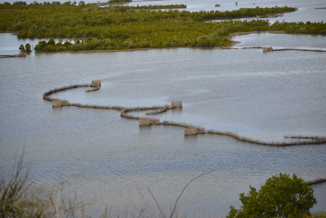
Ever wondered if we could have walked to Australia in ancient times? The answer is yes, and the land bridge that made it possible is quite the fascinating archaeological puzzle. For ages, scientists have pieced together clues about these lost connections between continents, revealing how our ancestors, and even ancient creatures, might have migrated. This isn’t about mythical Atlantis, but about real geological and archaeological evidence that points to periods when sea levels were much lower, exposing vast stretches of land that are now underwater.
Essentially, a submerged land bridge refers to a landmass that once connected two continents or islands but is now under the sea. These weren’t just narrow strips of land; they could be extensive plains, sometimes hundreds of miles wide, supporting ecosystems similar to those on the adjacent land.
Why Did They Submerge?
The primary culprit behind the submersion of these land bridges is glacial cycles. During ice ages, massive amounts of water were locked up in ice sheets and glaciers on land. This significantly lowered global sea levels.
- Ice Age Periods: When temperatures plummeted and ice sheets grew, sea levels could drop by as much as 120-150 meters (around 400-500 feet). This exposed continental shelves, the underwater edges of continents, which then became dry land.
- Interglacial Periods: As the Earth warmed up and the ice sheets melted, the water returned to the oceans, raising sea levels and inundating these exposed lands. These periods are what we are experiencing now.
Not Just Bridges, But Continents
It’s important to understand that these weren’t just delicate pathways. They were often substantial extensions of existing continents, creating larger landmasses than we see today. Think of it as the “lost coasts” of our continents.
The mystery of the submerged land bridge has intrigued researchers for years, as it holds clues to ancient human migration patterns and the Earth’s geological history. For a deeper exploration of this fascinating topic, you can read a related article that delves into the geological formations and archaeological findings associated with submerged land bridges. To learn more, visit this article.
Unlocking the Puzzle: Evidence We Find
Scientists don’t just guess; they find physical evidence. This evidence comes from a variety of sources, each offering a unique perspective on these submerged landscapes.
Geological Clues
The very structure of the Earth’s crust and the seabed holds key information.
Ocean Floor Mapping
Modern technology allows us to map the ocean floor with remarkable detail.
- Bathymetry: This is the measurement of depth of water in oceans, seas, or lakes. Detailed bathymetric maps reveal submerged plains, river valleys, and even ancient coastlines that don’t align with current sea levels.
- Sediment Analysis: Studying the sediments on the seafloor can reveal if they were once terrestrial soils or if they contain marine fossils that indicate a much deeper, submerged environment.
Continental Shelf Exploration
The continental shelf is key to understanding submerged land bridges.
- Shallow Waters: These shelves are relatively shallow, making them the first areas to be exposed when sea levels drop and the last to be submerged when they rise. Much of the ancient land bridges are found here.
- Precious Resources: Historically, these areas have been rich in oil and gas reserves, and their exploration has inadvertently uncovered geological formations that point to past terrestrial environments.
Archaeological Discoveries
Human history is intertwined with these ancient landscapes.
Underwater Archaeology
This specialized field directly investigates submerged human sites.
- Lost Settlements: Archaeologists have found evidence of ancient human settlements, tools, and artifacts on the continental shelves. These discoveries strongly suggest that humans inhabited these areas when they were above water.
- Challenges of Underwater Excavation: Working underwater presents unique challenges, from visibility and pressure to the preservation of delicate artifacts. It’s a slow, meticulous process.
Evidence of Human Migration
The existence of submerged land bridges provides practical routes for ancient human movements.
- “Out of Africa” Theories: The most widely accepted theory for the origin of modern humans places their emergence in Africa. Submerged land bridges in Southeast Asia, for instance, could have facilitated the migration of humans out of Africa and across Asia.
- Populating the Americas: The Bering Land Bridge, connecting Siberia and Alaska during the last ice age, is a prime example of how land bridges allowed humans to populate new continents. While not strictly “submerged” for its entire existence as a used pathway, its reappearance and disappearance with sea levels are part of the same phenomenon.
The Sunda Shelf: A Giant Submerged Landmass
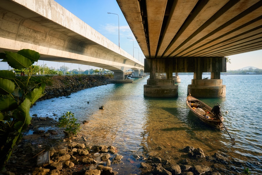
One of the most significant examples of a submerged land bridge is the Sunda Shelf, located in Southeast Asia. This vast area connects mainland Asia with the islands of Borneo, Sumatra, and Java.
What Was Sundaland Like?
During glacial periods, this was not just a bridge but a vast continental area.
- Extensive River Systems: Imagine wide, meandering rivers, much larger than the Mekong or the Yangtze today, flowing across Sundaland. These rivers would have been vital arteries for both life and potential human migration.
- Diverse Ecosystems: Sundaland would have supported a rich tapestry of flora and fauna, similar to the rainforests and savannas of mainland Asia. This biodiversity is a key area of study for paleoecologists.
- Home to Early Humans and Megafauna: The archaeological and paleontological evidence suggests that early humans and large mammals, like elephants and rhinoceros, roamed across Sundaland, following the abundant resources.
When Did It Submerge?
The submergence of Sundaland happened gradually over thousands of years.
- Post-Last Glacial Maximum: As the last ice age began to wane, around 18,000 years ago, sea levels started to rise. The process accelerated as massive ice sheets melted.
- Recent Geological Past: The full inundation of the Sunda Shelf is a relatively recent event in geological terms, completed by about 6,000-8,000 years ago. This makes it a prime area for studying the impact of sea-level rise on ancient environments.
Sahul: Connecting Australia and New Guinea
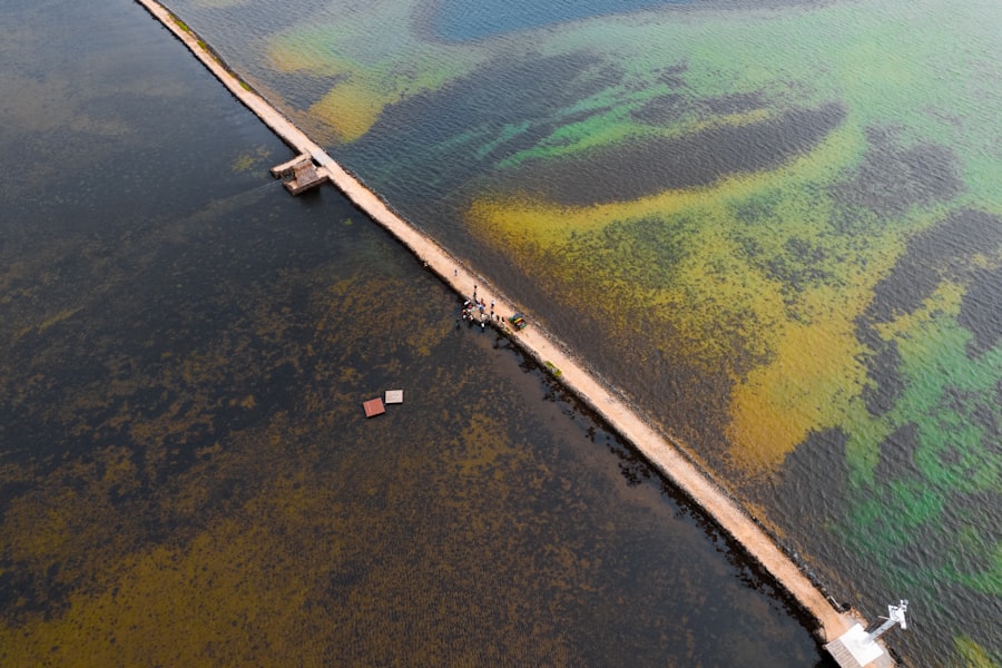
Another crucial submerged landmass is Sahul, which connected Australia, New Guinea, and Tasmania.
The Geography of Sahul
This was a substantial continent during glacial periods.
- Vast Arid Plains: Large parts of Sahul were likely arid or semi-arid plains, interspersed with river systems and pockets of more fertile land. It was a starkly different environment from the Australia we know today.
- Unique Wildlife: The megafauna that inhabited Sahul, such as giant marsupials, would have been adapted to these conditions. Their fossil remains provide clues about the ancient environment.
Human Arrival on Sahul
The timing of human arrival in Australia is directly linked to the existence of Sahul.
- Early Migration: Evidence suggests humans arrived in Australia at least 65,000 years ago, long before the last glacial maximum. This means they likely crossed the wider continental shelf of Sahul.
- Island Hopping: While Sahul was a vast landmass, there might have still been stretches of water to cross between islands or peninsulas. This would have required some degree of seafaring capability, even in ancient times.
The mystery of the submerged land bridge has intrigued researchers for years, as it holds clues to ancient human migration and the changing climate of our planet. Recent studies have shed light on this fascinating topic, revealing how this once-visible land connection facilitated the movement of species across continents. For those interested in exploring this further, an insightful article can be found at My Geo Quest, which delves into the geological and archaeological significance of the submerged land bridge and its impact on our understanding of early human history.
Practical Implications and Ongoing Research
| Location | Depth | Age |
|---|---|---|
| Bering Strait | 50 meters | 10,000 years |
| Sea of Japan | 100 meters | 20,000 years |
| Mariana Trench | 11,034 meters | Unknown |
Understanding these submerged landscapes isn’t just an academic exercise; it has practical implications and fuels ongoing scientific curiosity.
Resource Exploration
The search for natural resources has been a catalyst for discovering these submerged areas.
- Oil and Gas: The exploitation of offshore oil and gas reserves has led to extensive mapping and geological surveys of continental shelves, revealing ancient landforms.
- Marine Archaeology: A growing focus is on finding submerged cultural heritage sites. These are invaluable for understanding early human societies and their interaction with changing environments.
Climate Change and Future Sea Levels
The study of past sea-level changes offers insights into our present and future.
- Understanding Past Impacts: Examining how environments and human societies adapted to rapid sea-level rise in the past can inform us about the potential consequences of current climate change.
- Predictive Models: Geological and archaeological data from submerged land bridges help refine models predicting future sea-level rise and its impact on coastal areas.
The Mystery Continues
Despite significant progress, many questions remain unanswered.
- Detailed Mapping: Much of the ocean floor remains underexplored. Detailed surveys are still needed to fully map the extent and features of all submerged land bridges.
- Preservation of Sites: The underwater environment can be destructive. Preserving and studying potential archaeological sites before they are eroded or disturbed is a constant challenge.
- Interconnectivity: Understanding how these land bridges facilitated the movement of not just humans but also plants, animals, and diseases is a complex area of ongoing research.
Exploring the world of submerged land bridges is like delving into a forgotten chapter of Earth’s history. It’s a testament to the dynamic nature of our planet and the resilience of life, including human life, in adapting to dramatic environmental shifts.
FAQs
What is the submerged land bridge?
The submerged land bridge refers to a geological formation that was once above water but is now submerged beneath the sea. It is often formed by the rise in sea levels or tectonic movements.
Where are submerged land bridges found?
Submerged land bridges can be found in various parts of the world, including the Bering Land Bridge between Alaska and Siberia, the Sunda Shelf in Southeast Asia, and the Doggerland in the North Sea.
What is the significance of submerged land bridges?
Submerged land bridges are significant as they provide evidence of past connections between landmasses and can offer insights into ancient human migration patterns, animal dispersal, and changes in climate and sea levels.
How are submerged land bridges studied?
Submerged land bridges are studied using various scientific methods, including underwater mapping, sediment core analysis, and the study of ancient fossils and artifacts. These methods help researchers reconstruct the landscapes and ecosystems that existed when the land bridges were above water.
What are some theories about the submerged land bridge’s disappearance?
There are several theories about the disappearance of submerged land bridges, including the rise in sea levels due to melting ice caps, tectonic movements, and changes in climate. These factors may have contributed to the submersion of the land bridges over time.