Harnessing Georgia’s Fall Line: Water Power and Geography
The Fall Line, a distinct geological feature bisecting Georgia from west to north, has profoundly shaped the state’s development, particularly through its influence on water power and settlement patterns. This transitional zone, where the Piedmont’s rolling hills descend sharply to the Coastal Plain’s flat expanse, presented both challenges and opportunities. Rivers crossing this boundary experience a noticeable steepening of their gradient, creating natural points of descent that have been exploited for centuries for energy. Understanding the interplay between Georgia’s geography and the formidable forces of its waterways, especially along the Fall Line, is crucial to comprehending the state’s historical and economic trajectory.
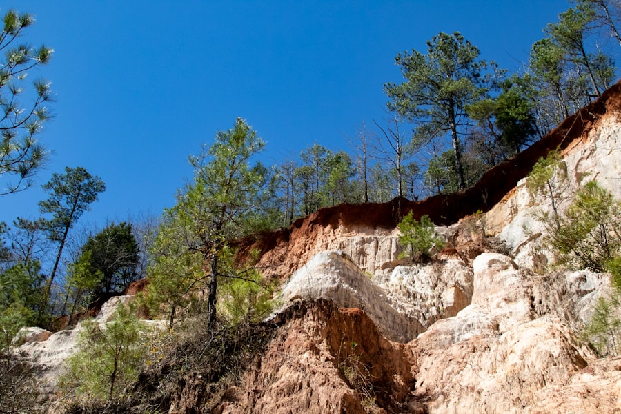
The Fall Line is not merely an arbitrary demarcation; it represents a significant geological boundary that dictates much of Georgia’s landscape. Its formation is a result of differential erosion, where harder, more resistant rock of the Piedmont uplands has withstood the forces of weathering and erosion longer than the softer, unconsolidated sediments of the Coastal Plain. This difference in rock composition and resistance has led to the characteristic drop in elevation.
Formation and Characteristics
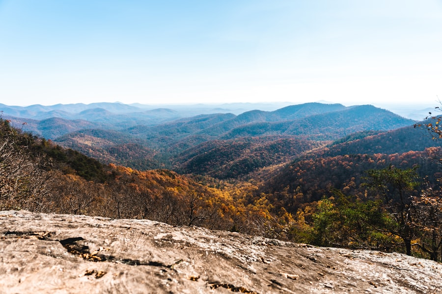
The Fall Line stretches across Georgia, originating near the Alabama border in the west and extending eastward towards the Atlantic coast. It is characterized by a series of rapids, waterfalls, and bluffs as major rivers like the Chattahoochee, Flint, Oconee, and Ogeechee make their dramatic descent. This geological discontinuity marks the transition from the ancient crystalline rocks of the Piedmont to the younger sedimentary rocks of the Coastal Plain. The elevation change is typically in the range of 50 to 100 feet over a relatively short distance. This abrupt topographic shift has historically acted as a natural barrier, influencing transportation and settlement.
Impact on Drainage Basins
The Fall Line plays a critical role in shaping Georgia’s drainage systems. Rivers flowing from the Appalachian Mountains and Piedmont plateau are constrained by this geological feature. As they approach the Fall Line, their channels become more constricted and the flow accelerates, increasing their erosive power. This localized increase in hydraulic energy is precisely what makes the Fall Line ideal for harnessing water power. The presence of these rapids and falls dictates the navigability of rivers. Upstream, rivers might be navigable for some distance, but the Fall Line typically marks the head of navigation, forcing the development of port towns and transfer points at its edge.
Mineral Resources and Soil Types
Beyond its role in water dynamics, the geological makeup of the Fall Line influences mineral deposits and soil types. The erosion of the Piedmont’s ancient rocks releases mineral-rich sediments that can be deposited along the Fall Line and into the Coastal Plain. Historically, some of these areas were known for clay deposits, valuable for pottery and brickmaking. The soil types also vary, with the Piedmont generally having more fertile, reddish soils derived from metamorphic and igneous rocks, while the Coastal Plain features sandy soils that are less fertile but conducive to certain types of agriculture, particularly with the advent of fertilization.
The Georgia Fall Line is a significant geographical feature that marks the boundary between the Piedmont and Coastal Plain regions, playing a crucial role in the state’s water power potential. This transition zone is characterized by a series of waterfalls and rapids, which historically provided energy for early mills and industries. For a deeper understanding of the geographical implications and the historical significance of water power in this region, you can explore the article available at My Geo Quest.
Navigational Barriers and Early Settlement Dynamics
The early settlers of Georgia encountered the Fall Line as a significant impediment to westward expansion and riverine commerce. While major rivers offered avenues for travel and transport into the interior, the Fall Line presented an insurmountable obstacle for conventional boat traffic. This geographical fact heavily influenced where settlements would thrive and how trade would develop.
The Head of Navigation
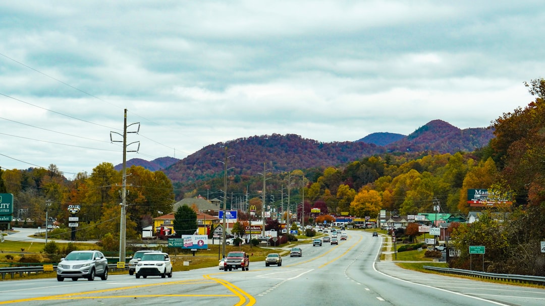
For centuries, the Fall Line served as the practical limit for navigation on Georgia’s major rivers. Boats could travel upstream from the coast to the towns situated at the Fall Line, where goods would be unloaded and transported overland to communities further inland, or goods from the interior would be brought down to these points for shipment to the coast. This created a natural economic hub at each major Fall Line crossing. Athens on the Oconee River, Milledgeville on the Oconee, Macon on the Ocmulgee, and Columbus on the Chattahoochee are prominent examples of cities that grew around this phenomenon.
Formation of “Fall Line Cities”
The strategic importance of these river crossings at the Fall Line led to the establishment and growth of what came to be known as “Fall Line cities.” These urban centers were not only points of trade and transit but also administrative and cultural hubs. They facilitated the exchange of goods between the agricultural interior and the maritime trade networks of the coast. The economic activity generated at these confluence points spurred infrastructure development, including roads and, eventually, railroads, which helped to overcome the limitations of natural navigation. These cities became focal points of economic and political power within the state.
Overland Transportation Challenges
Beyond riverine limitations, the terrain itself along the Fall Line presented challenges for overland transportation. The transition zone often involved steeper slopes and more rugged terrain than the flatter Coastal Plain. Establishing and maintaining roads capable of moving goods and people efficiently across this divide required considerable effort and investment. This further amplified the importance of river crossings as key nodes in the transportation network. The development of alternative transportation, such as railroads, was a direct response to these inherent geographical limitations.
Harnessing Water Power: The dawn of Industrialization
The very geographical feature that hindered navigation also presented an immense source of untapped energy: falling water. The steep gradients of rivers at the Fall Line offered a powerful and renewable resource that would become instrumental in Georgia’s industrialization during the 19th and 20th centuries.
The Invention of the Water Wheel
The advent of the water wheel, a simple yet effective technology, allowed for the conversion of the kinetic energy of moving water into rotational mechanical energy. Early mills, such as gristmills and sawmills, were among the first to exploit this power. These mills were essential for processing agricultural products and timber, supporting the growing population and economy of the state. The abundance of suitable sites along the Fall Line ensured a concentration of these early industrial endeavors.
Textile Mills and the Piedmont Advantage
Georgia’s geographic location, with its abundant cotton production in the Piedmont and Southern Piedmont regions and its proximity to water power sources along the Fall Line, positioned it perfectly for the growth of the textile industry. By the late 19th century, the state began to transform from a primarily agricultural economy to one with a burgeoning manufacturing sector. Water-powered textile mills sprung up along rivers like the Chattahoochee, Broad, and Oconee. This not only provided employment but also absorbed much of the raw cotton grown in the region, reducing reliance on distant processing centers.
The Growth of Augusta and Columbus
Cities like Augusta and Columbus, strategically located on the Fall Line, became major centers of textile manufacturing. Augusta, situated on the Savannah River, harnessed its power through a canal system, enabling the operation of numerous mills. Columbus, on the Chattahoochee River, also utilized its waterways for industrial development. These cities grew rapidly, attracting labor and capital, and becoming significant economic engines for Georgia. The availability of water power was a primary determinant in their industrial success.
The Era of Hydroelectric Power and Modern Infrastructure
While water wheels provided the initial impetus for industrialization, the 20th century brought about a more powerful and efficient method of harnessing water: hydroelectric generation. This technological leap further cemented the importance of the Fall Line and Georgia’s river systems in powering the state’s modernization and economic growth.
The Construction of Dams and Reservoirs
The development of hydroelectric dams in the 20th century allowed for the storage of vast quantities of water in reservoirs behind the dams. This stored water could then be released in a controlled manner, driving powerful turbines to generate electricity. Numerous dams were constructed on Georgia’s rivers, many situated at or near the Fall Line, to take advantage of the natural topography and the available water flow. These projects not only provided electricity but also offered flood control and recreational opportunities.
Balancing Power Generation with Environmental Concerns
The construction of large-scale hydroelectric projects brought about significant environmental considerations. The rerouting of rivers, the inundation of land for reservoirs, and the alteration of aquatic ecosystems became critical issues. Modern dam management often involves a complex balancing act between maximizing power generation, managing water resources for agriculture and other uses, and mitigating the environmental impacts. Georgia’s river commissions and state agencies work to address these multifaceted challenges, seeking sustainable solutions for water resource utilization.
Impact on Economic Development and Urban Growth
Hydroelectric power provided a cheap and reliable source of energy, fueling further industrial expansion and contributing to the sustained growth of urban centers across the state. Businesses were drawn to areas with access to affordable electricity, reinforcing the economic importance of the Fall Line region and its associated infrastructure. These power facilities became integral components of Georgia’s modern economic landscape, supporting industries ranging from manufacturing to technology.
The Georgia Fall Line is a significant geographic feature that marks the transition between the hilly terrain of the Piedmont and the coastal plain, playing a crucial role in the region’s water power potential. This unique topography has historically provided sites for mills and hydroelectric power generation, making it an important area for both industry and ecology. For a deeper understanding of this fascinating topic, you can explore a related article on the geography of the Georgia Fall Line and its impact on water power by visiting this link.
Waterways as Lifelines: Transportation and Commerce
| Geography of the Georgia Fall Line and Water Power | |
|---|---|
| Location | Georgia Fall Line region |
| Topography | Steep gradient, rocky terrain |
| Water Power Potential | High due to the presence of waterfalls and rapids |
| Historical Importance | Significant role in the development of early industries in Georgia |
| Modern Use | Hydropower generation, recreational activities |
Beyond their energy-generating potential, Georgia’s rivers, particularly where they intersect the Fall Line, have historically served as vital arteries for transportation and commerce. While the Fall Line posed navigational challenges, it also spurred the development of sophisticated systems to overcome these obstacles, facilitating the movement of goods and people.
Canal Systems and Locks
To circumvent the waterfalls and rapids of the Fall Line, early engineers and entrepreneurs constructed canal systems and lock mechanisms. These allowed boats to bypass sections of rapids or to be raised and lowered between different water levels. For instance, the Augusta Canal, built in the 19th century, was a significant feat of engineering that enabled navigation around the Augusta shoals on the Savannah River, transforming the city into a major transportation and industrial hub.
Development of Port Cities and Terminals
The cities situated at the Fall Line, as mentioned previously, developed into crucial port cities. These locations acted as transfer points where goods from river traffic were loaded onto wagons or, later, trains for overland transport, and vice-versa. The infrastructure at these ports included warehouses, docks, and loading facilities, forming the backbone of regional trade networks. The economic success of these “Fall Line Cities” was directly tied to their role in facilitating this multimodal transportation.
The Rise of Railroads and Their Integration
The advent of the railroad in the 19th century offered a more efficient and reliable method of overland transportation, particularly in overcoming the geographical constraints of the Fall Line. Railroads were often built to connect Fall Line cities, creating a more integrated transportation system that complemented and eventually superseded much of the riverine commerce. Railroad lines often followed the contours of the land, but they were also instrumental in opening up areas that were previously difficult to access due to the terrain or the limitations of water navigation. The synergy between rail and water transport was a defining characteristic of Georgia’s economic development for much of its history.
The Fall Line in Georgia is more than just a geological curiosity; it is a fundamental element of the state’s identity and development. Its impact is etched into the landscape, in the rise of its cities, and in the evolution of its economy. From the early water wheels of the colonial era to the massive hydroelectric dams of the modern age, the power of Georgia’s rivers, amplified by the geography of the Fall Line, has been a constant force, shaping the state’s past, present, and future. Analyzing this interplay offers a profound understanding of how geography and human ingenuity can converge to drive progress and define a region.
FAQs
What is the Georgia Fall Line?
The Georgia Fall Line is a geological feature that marks the boundary between the Piedmont and Coastal Plain regions of Georgia. It is characterized by a series of waterfalls and rapids, and it has played a significant role in the state’s history and development.
How does the Georgia Fall Line impact water power?
The Georgia Fall Line’s steep gradient and rocky terrain make it an ideal location for harnessing water power. Historically, this natural feature has been utilized to power mills and factories, contributing to the economic growth of the region.
What are some notable cities located along the Georgia Fall Line?
Several major cities in Georgia are situated along the Fall Line, including Columbus, Macon, and Augusta. These cities have historically been important centers for industry and commerce due to their proximity to the water power potential of the Fall Line.
How has the geography of the Georgia Fall Line influenced settlement patterns?
The presence of the Georgia Fall Line has influenced the location of settlements and urban development in the state. Many towns and cities have been established along the Fall Line to take advantage of its water power and transportation opportunities.
What role does the Georgia Fall Line play in the state’s economy?
The Georgia Fall Line has played a significant role in shaping the state’s economy, particularly in the development of manufacturing and industry. Its water power potential has been harnessed for centuries, contributing to the growth and prosperity of the region.