The Kaub Gauge, situated on the Middle Rhine in Germany, serves as a critical hydrometric instrument for navigation, environmental management, and economic activity throughout the Rhine basin. Its readings provide a direct indication of water levels, which in turn dictate the feasibility of shipping, the integrity of ecological systems, and the operational parameters of riverside industries. Understanding the various water level thresholds at Kaub is not merely a technical exercise; it is an exploration into the pulse of a vital European artery.
The Rhine River, flowing approximately 1,232 kilometers from the Swiss Alps through Germany and the Netherlands to the North Sea, is one of Europe’s most intensively used waterways. Its historical and economic importance cannot be overstated, having served as a trade route, a natural border, and a source of sustenance for millennia. The Rhine’s impact extends from agriculture and industry to tourism and biodiversity.
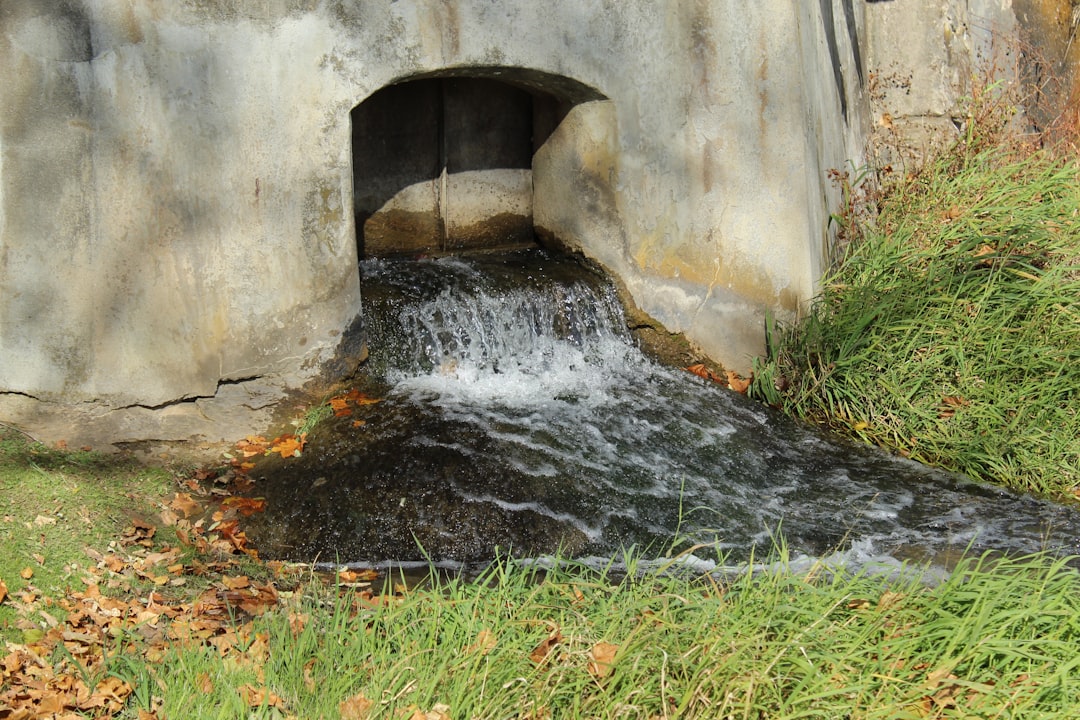
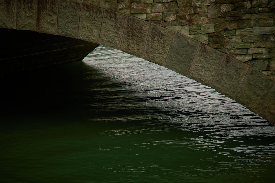
The Kaub Gauge, located at kilometer 546.3 of the Rhine, acts as a primary reference point for water levels along the Middle and Lower Rhine. Its strategic location, nestled within a naturally constricted part of the river, makes its readings particularly sensitive to overall flow variations. This geographical characteristic renders the Kaub Gauge a bellwether for shipping conditions further downstream, where the river widens, and water levels would otherwise be less immediately indicative of impending navigational difficulties. For commercial barges and passenger vessels, the Kaub reading functions as a vital navigational beacon, guiding operational decisions and cargo loading capacities.
Historical Context of Rhine Water Level Monitoring
The systematic monitoring of water levels on the Rhine dates back centuries, driven by the need to manage navigation and flood risk. Early methods involved simple markings on bridge piers or fixed structures. As trade intensified and engineering capabilities advanced, more sophisticated gauges were developed. The establishment of the Kaub Gauge in its current form reflects a concerted effort to standardize and centralize water level data, crucial for the increasingly complex demands of modern riverine activities. This evolution mirrors the broader development of hydraulic engineering and meteorology in Europe, where understanding natural systems became paramount for economic and societal development.
The Economic Impact of Kaub Gauge Readings
The economic implications of Kaub Gauge readings are profound, rippling through various sectors. When water levels fall below critical thresholds, barges are forced to reduce their cargo loads significantly, leading to higher per-tonne transportation costs. This directly impacts industries relying on the Rhine for the bulk transport of commodities such as coal, oil, chemicals, and agricultural products. Conversely, excessively high water levels can lead to navigation restrictions due to reduced clearance under bridges or increased current speeds, also incurring economic costs. The Kaub Gauge, therefore, acts as an economic barometer, its fluctuations directly correlating with logistical challenges and supply chain disruptions for a substantial portion of the European economy.
The Kaub gauge water level thresholds play a crucial role in understanding river navigation and flood risks along the Rhine River. For a deeper insight into how these thresholds impact shipping and environmental conditions, you can refer to the related article available at this link. This article provides valuable information on the significance of water levels and their implications for both local communities and industries reliant on the river.
Defining Key Water Level Thresholds
Water level thresholds at Kaub are not arbitrary figures; they are meticulously established benchmarks derived from extensive hydrological data, navigational requirements, and environmental considerations. These thresholds guide decision-making for various stakeholders, from ship captains to environmental agencies.
The Mean Water Level (MWL)
The Mean Water Level (MWL) at Kaub represents the average water level over a long period, typically several decades. It serves as a baseline against which current conditions are compared. While not a direct operational threshold, the MWL provides crucial historical context and helps in understanding long-term hydrological trends. Deviations from the MWL, whether consistently above or below, can indicate shifts in climate patterns or upstream water management practices.
The Low Water Level (LWL)
The Low Water Level (LWL) is a critical threshold, often defining the point at which commercial shipping becomes economically unviable or technically challenging. At Kaub, a typical LWL might be around 1.50 meters, though this can fluctuate slightly based on specific navigational requirements and the depth of the shipping channel, which is subject to maintenance dredging. Below this, barges cannot operate at full capacity, leading to the aforementioned economic inefficiencies. The LWL is not static; it can be influenced by factors such as prolonged drought, reduced snowmelt from the Alps, or increased water abstraction upstream.
Below Low Water Thresholds: Extreme Low Water (ELW) and Critically Low Water (CLW)
As water levels continue to drop below the LWL, more severe thresholds are encountered. Extreme Low Water (ELW) signifies a period of significant hydrological stress, where navigational restrictions intensify, and ecological impacts become more pronounced. Critically Low Water (CLW) represents an unprecedented or near-record low, typically involving widespread disruption to shipping, severe ecological damage, and potential impacts on water supply for industrial or agricultural uses. These thresholds often trigger emergency protocols and multi-agency coordination to mitigate adverse effects.
High Water Levels (HWL) and Flood Stages
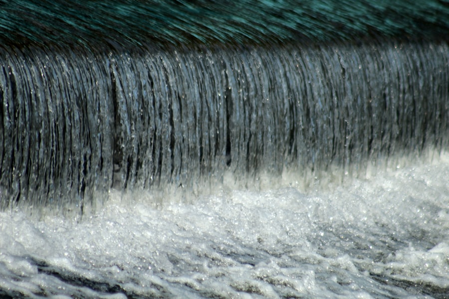
Conversely, High Water Levels (HWL) indicate periods of increased flow, often due to heavy rainfall or rapid snowmelt. These levels can also pose challenges for navigation, primarily due to reduced bridge clearance, increased current velocities, and the potential for debris accumulation. As water levels rise further, specific flood stages are declared, triggering different levels of emergency response. These stages are defined by the likelihood and severity of inundation in adjacent areas, leading to measures such as dike patrols, road closures, and evacuation preparedness.
Navigational Implications of Kaub Gauge Readings
For the shipping industry, the Kaub Gauge acts as a constant companion, its readings dictating everything from voyage planning to cargo manifest adjustments. Ignoring its signals can lead to grounding, delays, and significant financial losses.
Draft Restrictions and Cargo Capacity
The most immediate impact of low water levels at Kaub is the imposition of draft restrictions. The draft refers to the vertical distance between the waterline and the bottom of the hull. As water levels fall, the available depth of the shipping channel decreases, forcing vessels to lighten their loads to maintain a safe draft. This direct relationship means that a reduction of just a few centimeters at Kaub can translate into several tons of cargo reduction for a large barge. Imagine a large tanker truck being told it can only carry half its usual fuel because the roads are too bumpy – the principle is similar for river barges during low water.
Impact on Shipping Schedules and Logistics
Lower cargo capacities necessitate more frequent trips, which in turn strains shipping schedules and increases operational costs. Shippers may opt to transfer cargo to other modes of transport, such as rail or road, which are often more expensive and less environmentally friendly for bulk goods. During prolonged periods of low water, entire segments of the Rhine may become impassable for certain vessel types, leading to significant logistical bottlenecks and supply chain disruptions across Europe.
High Water Challenges for Navigation
While low water poses significant challenges, high water also presents obstacles. Increased current speeds can make upstream navigation arduous and consume more fuel. Reduced clearance under bridges, particularly for vessels carrying tall cargo or container stacks, can necessitate detours or waiting periods. In extreme flood events, navigation may be entirely suspended to ensure the safety of vessels and crew, and to prevent damage to infrastructure.
Ecological and Environmental Considerations
Beyond navigation, the water levels at Kaub are a crucial indicator of the Rhine’s ecological health. Fluctuations, especially extended periods of extremes, have far-reaching consequences for aquatic ecosystems and riparian zones.
Impact of Low Water on Aquatic Life
Prolonged low water significantly alters the physical and chemical characteristics of the river. Warmer water temperatures, reduced oxygen levels, and increased concentrations of pollutants become common as the volume of water decreases. These changes stress aquatic species, affecting spawning patterns, feeding habits, and overall survival rates. Fish species accustomed to deeper, cooler waters may struggle to find suitable habitats, leading to population declines. Interconnected floodplains and oxbow lakes, vital breeding grounds and habitats, can dry out, severing critical ecological links.
Riparian Vegetation and Habitat Integrity
The riparian zones – the land adjacent to the river – are also heavily impacted by water level fluctuations. During low water, exposed banks can become vulnerable to erosion, altering the morphology of the riverbed and banks. Conversely, prolonged inundation during high water can stress terrestrial vegetation not adapted to saturated conditions. Maintaining a healthy balance of natural water level dynamics is crucial for the biodiversity and resilience of these interconnected habitats.
Water Quality and Pollution Concentration
Lower water levels mean a reduced dilution capacity for any pollutants entering the river. While industrial discharges are regulated, even permissible levels of effluents can become more concentrated during periods of low flow, posing a greater risk to aquatic life and downstream communities relying on the Rhine for drinking water or industrial processes. Conversely, high water can lead to increased runoff from agricultural lands, carrying fertilizers and pesticides into the river.
The Kaub gauge water level thresholds play a crucial role in determining navigability along the Rhine River, impacting both commercial shipping and environmental conditions. For a deeper understanding of how these thresholds affect river traffic and the broader implications for trade, you can refer to a related article that provides valuable insights into the topic. This resource can be found at MyGeoQuest, where you can explore more about the significance of water levels and their influence on regional economies.
Future Outlook and Adaptation Strategies
| Water Level (ft) | Status | Impact Description | Recommended Action |
|---|---|---|---|
| 0.0 – 5.0 | Normal | Water level within normal range, no flooding expected. | Monitor regularly. |
| 5.1 – 7.0 | Advisory | Water level rising, potential minor flooding in low-lying areas. | Prepare for possible flooding, stay alert. |
| 7.1 – 9.0 | Watch | Flooding likely in flood-prone areas, increased risk to property. | Implement flood preparedness measures. |
| 9.1 – 11.0 | Warning | Significant flooding expected, risk to infrastructure and safety. | Evacuate if necessary, follow emergency instructions. |
| Above 11.0 | Emergency | Severe flooding, widespread damage and danger to life. | Immediate evacuation and emergency response required. |
Understanding the Kaub Gauge thresholds is not a static endeavor; it requires continuous adaptation in response to climate change and evolving human pressures. The future of the Rhine, and by extension, the utility of the Kaub Gauge, necessitates strategic planning and proactive measures.
Climate Change and Increased Variability
Climate change is projected to increase the frequency and intensity of extreme weather events, leading to greater variability in Rhine water levels. Scientists anticipate more frequent and severe low-flow periods due to reduced snowmelt and altered rainfall patterns, alongside more intense flood events. This necessitates a re-evaluation of existing thresholds and the development of more robust adaptive strategies. The “new normal” may involve lower mean water levels and more pronounced swings between hydrological extremes.
Adaptive Measures in Shipping and Infrastructure
The shipping industry is already exploring and implementing adaptive measures. These include designing new, shallower-draft vessels capable of carrying more cargo at lower water levels, optimising vessel routing and bundling cargo, and increasing reliance on real-time data for more precise operational adjustments. Infrastructure improvements, such as targeted dredging in critical sections or the construction of small barrages to retain water during dry periods, are also being considered, though these often involve significant environmental trade-offs.
Integrated Water Management and International Cooperation
Effective management of Rhine water levels requires an integrated approach that transcends national borders. The International Commission for the Protection of the Rhine (ICPR) plays a vital role in coordinating efforts among riparian states to manage water resources, address pollution, and adapt to climate change. This includes developing shared flood forecasting systems, implementing cross-border drought management plans, and fostering sustainable land use practices in the entire river basin. The Kaub Gauge, in this context, serves as a crucial data point within a larger, interconnected web of real-time monitoring and collaborative decision-making, helping to ensure the Rhine remains a functional and healthy artery for Europe for generations to come. The metaphor here is one of a vast orchestra, where the Kaub Gauge is a particularly important instrument, its notes signaling harmonies or dissonances across the entire performance.
FAQs
What is a Kaub gauge?
A Kaub gauge is a type of water level measuring device used primarily on rivers to monitor water levels and flow conditions. It provides critical data for navigation, flood forecasting, and water resource management.
What are water level thresholds in the context of a Kaub gauge?
Water level thresholds refer to specific water height measurements recorded by the Kaub gauge that indicate different conditions, such as safe navigation levels, flood warnings, or drought alerts. These thresholds help authorities make informed decisions.
Why are water level thresholds important for the Kaub gauge?
Water level thresholds are important because they provide benchmarks for interpreting the gauge readings. They help determine when river conditions are safe for shipping, when flood risks are increasing, or when water levels are critically low, ensuring timely responses.
How are Kaub gauge water level thresholds determined?
Thresholds are typically established based on historical data, river characteristics, and safety requirements. Hydrologists analyze past water level records and river behavior to set levels that correspond to different operational or hazard conditions.
Where can I find current water level readings and thresholds for the Kaub gauge?
Current readings and threshold information for the Kaub gauge are usually available through government agencies such as the U.S. Geological Survey (USGS) or local water management authorities. These organizations provide real-time data online for public access.